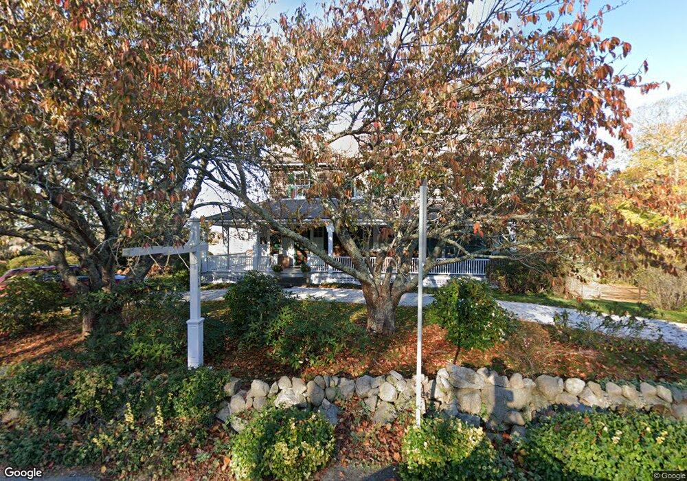
1514 Route 6a South Dennis, MA 02660
East Dennis NeighborhoodEstimated Value: $1,265,000 - $1,603,000
6
Beds
3
Baths
3,800
Sq Ft
$384/Sq Ft
Est. Value
About This Home
This home is located at 1514 Route 6a, South Dennis, MA 02660 and is currently estimated at $1,460,283, approximately $384 per square foot. 1514 Route 6a is a home located in Barnstable County with nearby schools including Dennis-Yarmouth Regional High School and Latham School.
Ownership History
Date
Name
Owned For
Owner Type
Purchase Details
Closed on
Oct 22, 2025
Sold by
Blumenthal Jennifer H and Blumenthal Jeffrey A
Bought by
Blumenthal Residence Ft and Blumenthal
Current Estimated Value
Purchase Details
Closed on
Nov 9, 2020
Sold by
Dimaio Frederick J
Bought by
Blumenthal Jeffrey A and Blumenthal J S
Home Financials for this Owner
Home Financials are based on the most recent Mortgage that was taken out on this home.
Original Mortgage
$787,500
Interest Rate
2.8%
Mortgage Type
Purchase Money Mortgage
Purchase Details
Closed on
Jan 14, 1994
Sold by
Mcgoldrick Cathleen C and Cloney Gerard P
Bought by
Cloney Thomas F and Dimaio Frederick J
Create a Home Valuation Report for This Property
The Home Valuation Report is an in-depth analysis detailing your home's value as well as a comparison with similar homes in the area
Home Values in the Area
Average Home Value in this Area
Purchase History
| Date | Buyer | Sale Price | Title Company |
|---|---|---|---|
| Blumenthal Residence Ft | -- | -- | |
| Blumenthal Jeffrey A | $1,050,000 | None Available | |
| Cloney Thomas F | $195,000 | -- |
Source: Public Records
Mortgage History
| Date | Status | Borrower | Loan Amount |
|---|---|---|---|
| Previous Owner | Blumenthal Jeffrey A | $787,500 |
Source: Public Records
Tax History Compared to Growth
Tax History
| Year | Tax Paid | Tax Assessment Tax Assessment Total Assessment is a certain percentage of the fair market value that is determined by local assessors to be the total taxable value of land and additions on the property. | Land | Improvement |
|---|---|---|---|---|
| 2025 | $5,983 | $1,381,700 | $856,400 | $525,300 |
| 2024 | $5,814 | $1,324,400 | $823,500 | $500,900 |
| 2023 | $5,139 | $1,100,400 | $644,700 | $455,700 |
| 2022 | $4,848 | $865,800 | $581,000 | $284,800 |
| 2021 | $3,897 | $646,200 | $368,100 | $278,100 |
| 2020 | $4,034 | $661,300 | $386,100 | $275,200 |
| 2019 | $5,427 | $879,600 | $596,800 | $282,800 |
| 2018 | $5,293 | $834,900 | $570,900 | $264,000 |
| 2017 | $5,191 | $844,000 | $570,900 | $273,100 |
| 2016 | $5,466 | $837,100 | $608,900 | $228,200 |
| 2015 | $5,357 | $837,100 | $608,900 | $228,200 |
| 2014 | $4,669 | $735,300 | $499,500 | $235,800 |
Source: Public Records
Map
Nearby Homes
- 102 Prince Way
- 1376 Bridge St Unit 16
- 13 Hayfield Rd
- 13 Hayfield Rd
- 4 Maureens Way
- 15 Trudy Cir
- 11 Island Creek Ln
- 88 Whiffletree Ave
- 92 Whiffletree Ave
- 38 Greenland Cir
- 102 Wildwood Rd
- 32 Captain Walsh Dr
- 831 Main St
- 83 Airline Rd
- 35 Crown Grant Dr
- 19 Deacon Joseph Ln
- 59 Hope Ln
- 645 Main St Back Lot
- 4 Landing Ln
- 15 Signal Hill Dr
- 1514 Massachusetts 6a
- 1515 Main St
- 1511 Route 6a
- 1490 Route 6a
- 1525 Massachusetts 6a
- 1507 Main Rte 6a
- 1514 Rte 6a
- 1525 Route 6a
- 1554 Route 6a
- 1582 Main St
- 1582 Main St
- 1507 Route 6a
- 15 Bridge St
- 1475 Route 6a
- 29 Bridge St
- 1521 Massachusetts 6a
- 4 Forest Hills Dr
- 1555 Route 6a
- 1521 Route 6a
- 22 Bridge St