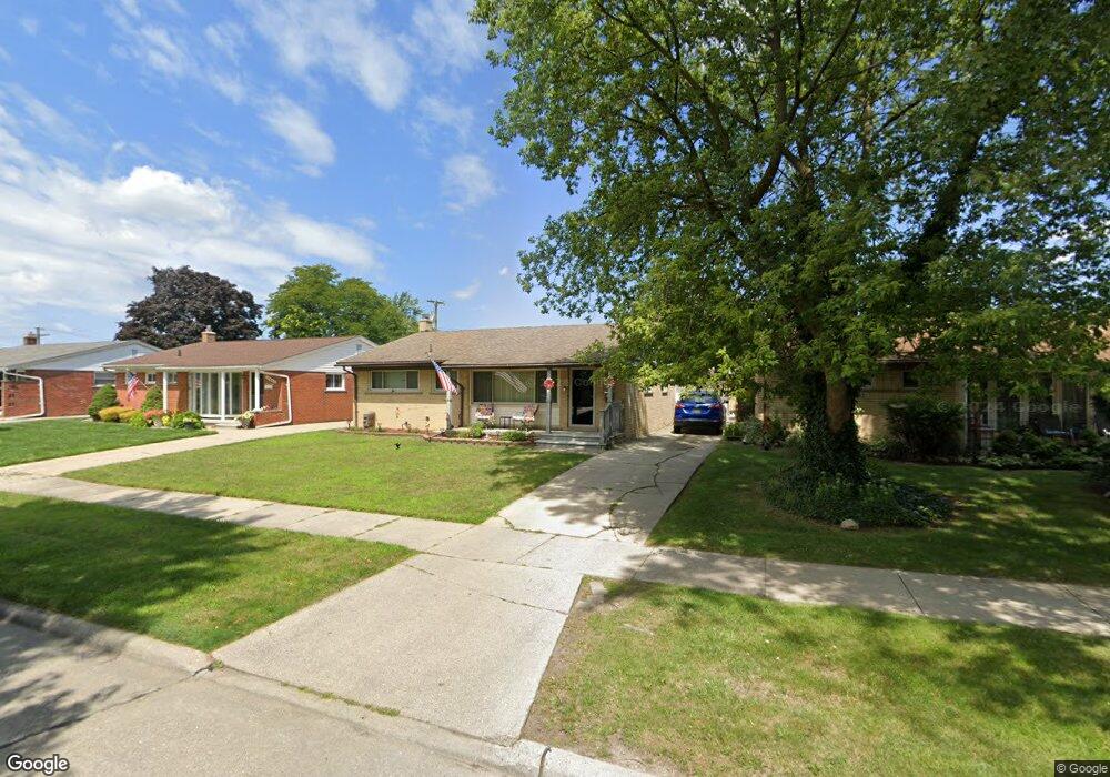
15148 Cook St Southgate, MI 48195
Estimated Value: $218,000 - $234,000
3
Beds
2
Baths
1,091
Sq Ft
$208/Sq Ft
Est. Value
About This Home
This home is located at 15148 Cook St, Southgate, MI 48195 and is currently estimated at $226,601, approximately $207 per square foot. 15148 Cook St is a home located in Wayne County with nearby schools including Allen Elementary School, Davidson Middle School, and Southgate Anderson High School.
Ownership History
Date
Name
Owned For
Owner Type
Purchase Details
Closed on
Aug 26, 2022
Sold by
Trevino Maria C
Bought by
Trevino Maria C
Current Estimated Value
Purchase Details
Closed on
Feb 28, 2021
Sold by
Meekins Michael K
Bought by
Meekins Maria C
Home Financials for this Owner
Home Financials are based on the most recent Mortgage that was taken out on this home.
Original Mortgage
$119,200
Interest Rate
2.7%
Mortgage Type
New Conventional
Purchase Details
Closed on
Dec 29, 2006
Sold by
Chretien Laurie A J
Bought by
Meekins Michael
Create a Home Valuation Report for This Property
The Home Valuation Report is an in-depth analysis detailing your home's value as well as a comparison with similar homes in the area
Home Values in the Area
Average Home Value in this Area
Purchase History
| Date | Buyer | Sale Price | Title Company |
|---|---|---|---|
| Trevino Maria C | -- | -- | |
| Meekins Maria C | -- | Minnesota Title Agency | |
| Meekins Michael | $142,000 | Multiple |
Source: Public Records
Mortgage History
| Date | Status | Borrower | Loan Amount |
|---|---|---|---|
| Previous Owner | Meekins Maria C | $119,200 |
Source: Public Records
Tax History Compared to Growth
Tax History
| Year | Tax Paid | Tax Assessment Tax Assessment Total Assessment is a certain percentage of the fair market value that is determined by local assessors to be the total taxable value of land and additions on the property. | Land | Improvement |
|---|---|---|---|---|
| 2025 | $2,325 | $100,600 | $0 | $0 |
| 2024 | $2,325 | $92,200 | $0 | $0 |
| 2023 | $2,217 | $84,800 | $0 | $0 |
| 2022 | $2,566 | $76,900 | $0 | $0 |
| 2021 | $2,498 | $70,000 | $0 | $0 |
| 2020 | $2,456 | $63,400 | $0 | $0 |
| 2019 | $2,425 | $59,100 | $0 | $0 |
| 2018 | $1,850 | $53,400 | $0 | $0 |
| 2017 | $1,091 | $50,400 | $0 | $0 |
| 2016 | $2,243 | $44,200 | $0 | $0 |
| 2015 | $3,871 | $41,500 | $0 | $0 |
| 2013 | $3,750 | $39,100 | $0 | $0 |
| 2012 | $1,616 | $36,500 | $7,700 | $28,800 |
Source: Public Records
Map
Nearby Homes
- 16612 Drake St
- 16672 Drake St
- 16047 Mccann St
- 16287 Windermere Cir
- 16787 Townley St
- 15755 Cameron St
- 15761 Richmond St
- 0000 Pennsylvania Ave
- 15711 Richmond St
- 15742 Kennebec St
- 15649 Churchill St
- 17108 Mulberry St
- 15481 Drake St
- 15464 Mulberry St
- 15413 Kennebec St
- 15646 Cynthia St
- 15705 Parkway Ln
- 15426 Poplar St
- 15677 Cynthia St
- 15231 Windemere St
- 15206 Cook St
- 15140 Cook St
- 15218 Cook St
- 15132 Cook St
- 15149 Ludington St
- 15201 Ludington St
- 15211 Ludington St
- 15226 Cook St
- 15124 Cook St
- 15145 Cook St
- 15127 Ludington St
- 15223 Ludington St
- 15215 Cook St
- 15137 Cook St
- 15236 Cook St
- 15116 Cook St
- 15129 Cook St
- 15225 Cook St
- 15235 Ludington St
- 15115 Ludington St