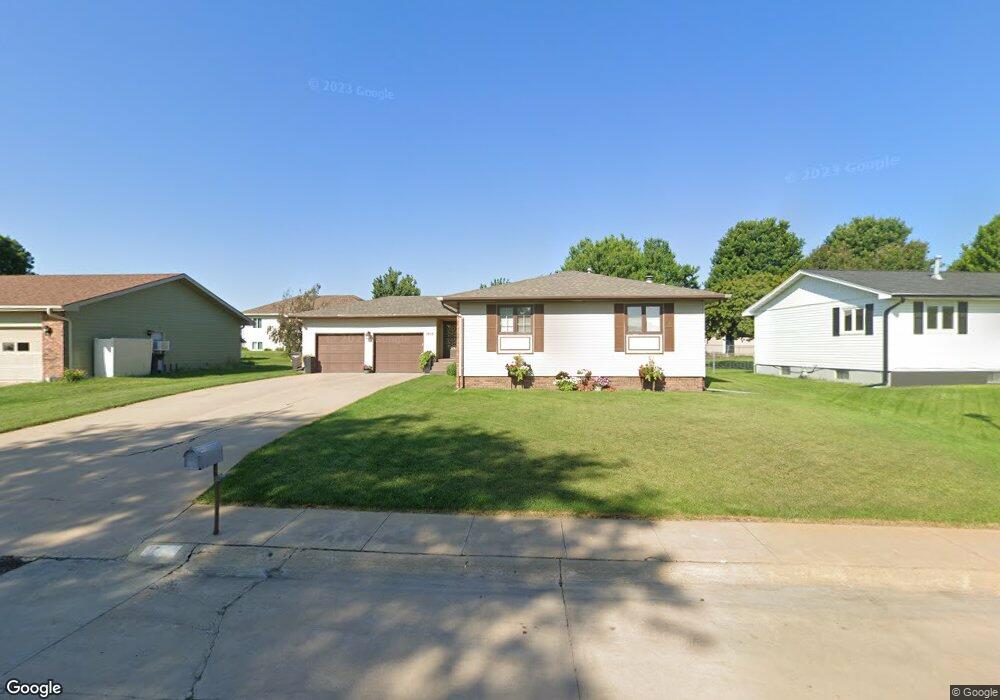
1515 Apache Ave Hastings, NE 68901
Estimated Value: $311,000 - $417,000
3
Beds
3
Baths
1,636
Sq Ft
$211/Sq Ft
Est. Value
About This Home
This home is located at 1515 Apache Ave, Hastings, NE 68901 and is currently estimated at $344,647, approximately $210 per square foot. 1515 Apache Ave is a home located in Adams County with nearby schools including Hastings Senior High School, St. Michael's Preschool & Elementary School, and Zion Lutheran School.
Ownership History
Date
Name
Owned For
Owner Type
Purchase Details
Closed on
Jan 26, 2017
Sold by
Klatt Susan M
Bought by
Tillemans Jeremy J and Tillemans Elizabeth A
Current Estimated Value
Home Financials for this Owner
Home Financials are based on the most recent Mortgage that was taken out on this home.
Original Mortgage
$148,000
Outstanding Balance
$122,538
Interest Rate
4.2%
Mortgage Type
Purchase Money Mortgage
Estimated Equity
$222,109
Purchase Details
Closed on
Sep 29, 2006
Sold by
Hansen Kenneth and Hansen Marcella
Bought by
Klatt Susan M
Create a Home Valuation Report for This Property
The Home Valuation Report is an in-depth analysis detailing your home's value as well as a comparison with similar homes in the area
Home Values in the Area
Average Home Value in this Area
Purchase History
| Date | Buyer | Sale Price | Title Company |
|---|---|---|---|
| Tillemans Jeremy J | $185,000 | Adams Land Title | |
| Klatt Susan M | $166,000 | None Available |
Source: Public Records
Mortgage History
| Date | Status | Borrower | Loan Amount |
|---|---|---|---|
| Open | Tillemans Jeremy J | $148,000 |
Source: Public Records
Tax History Compared to Growth
Tax History
| Year | Tax Paid | Tax Assessment Tax Assessment Total Assessment is a certain percentage of the fair market value that is determined by local assessors to be the total taxable value of land and additions on the property. | Land | Improvement |
|---|---|---|---|---|
| 2024 | $4,495 | $277,236 | $29,484 | $247,752 |
| 2023 | $4,954 | $240,073 | $29,484 | $210,589 |
| 2022 | $4,118 | $182,834 | $29,484 | $153,350 |
| 2021 | $3,955 | $180,377 | $27,027 | $153,350 |
| 2020 | $3,889 | $180,377 | $27,027 | $153,350 |
| 2019 | $3,848 | $180,377 | $27,027 | $153,350 |
| 2018 | $3,706 | $172,800 | $19,655 | $153,145 |
| 2017 | $3,612 | $169,795 | $0 | $0 |
| 2016 | $3,406 | $158,805 | $19,655 | $139,150 |
| 2011 | -- | $147,590 | $17,690 | $129,900 |
Source: Public Records
Map
Nearby Homes
- 1402 Arapahoe Ave
- 1314 N Laird Ave
- 1802 Westchester Dr
- 1225 Heritage Dr
- 1330 Heritage Dr
- 2616 Butterfoot Ln
- 2708 Edgewood Ln
- 1513 Crane Ave
- 1505 Crane Ave
- 1201 Pershing Rd
- 2330 W 11th St
- 1911 W 11th St
- 1223 Westwood Terrace
- 2501 W 10th St
- 2416 W 9th St
- 1814 Boyce St
- 2707 W 9th St
- 2521 Boyce St
- 1108 N Baltimore Ave
- 736 N Barnes Ave
- 1509 Apache Ave
- 1521 Apache Ave
- 1506 Arapahoe Ave
- 1502 Arapahoe Ave
- 1510 Arapahoe Ave
- 1501 Apache Ave
- 1601 Apache Ave
- 1518 Apache Ave
- 1512 Apache Ave
- 1520 Apache Ave
- 1506 Apache Ave
- 1514 Arapahoe Ave
- 1421 Apache Ave
- 1410 Arapahoe Ave
- 1600 Apache Ave
- 1607 Apache Ave
- 1500 Apache Ave
- 1503 Arapahoe Ave
- 1606 Apache Ave
- 1415 Apache Ave