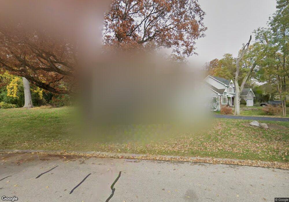
1515 Berltsum Dr Unit 1 Woodstock, IL 60098
Estimated Value: $381,047 - $389,000
4
Beds
3
Baths
2,500
Sq Ft
$154/Sq Ft
Est. Value
About This Home
This home is located at 1515 Berltsum Dr Unit 1, Woodstock, IL 60098 and is currently estimated at $383,762, approximately $153 per square foot. 1515 Berltsum Dr Unit 1 is a home located in McHenry County with nearby schools including Olson Elementary School, Creekside Middle School, and Woodstock High School.
Ownership History
Date
Name
Owned For
Owner Type
Purchase Details
Closed on
Sep 24, 2002
Sold by
Rooney Donald J and Rooney Judith A
Bought by
Arens Robert W and Feldt Cynthia
Current Estimated Value
Home Financials for this Owner
Home Financials are based on the most recent Mortgage that was taken out on this home.
Original Mortgage
$182,000
Outstanding Balance
$76,471
Interest Rate
6.32%
Estimated Equity
$307,291
Create a Home Valuation Report for This Property
The Home Valuation Report is an in-depth analysis detailing your home's value as well as a comparison with similar homes in the area
Home Values in the Area
Average Home Value in this Area
Purchase History
| Date | Buyer | Sale Price | Title Company |
|---|---|---|---|
| Arens Robert W | $222,000 | Heritage Title Company |
Source: Public Records
Mortgage History
| Date | Status | Borrower | Loan Amount |
|---|---|---|---|
| Open | Arens Robert W | $182,000 |
Source: Public Records
Tax History Compared to Growth
Tax History
| Year | Tax Paid | Tax Assessment Tax Assessment Total Assessment is a certain percentage of the fair market value that is determined by local assessors to be the total taxable value of land and additions on the property. | Land | Improvement |
|---|---|---|---|---|
| 2024 | $8,454 | $99,751 | $10,292 | $89,459 |
| 2023 | $8,042 | $90,207 | $9,307 | $80,900 |
| 2022 | $8,028 | $83,867 | $8,260 | $75,607 |
| 2021 | $7,636 | $78,358 | $7,717 | $70,641 |
| 2020 | $7,355 | $74,457 | $7,333 | $67,124 |
| 2019 | $7,139 | $71,074 | $7,000 | $64,074 |
| 2018 | $6,454 | $63,899 | $7,985 | $55,914 |
| 2017 | $6,332 | $60,140 | $7,515 | $52,625 |
| 2016 | $6,271 | $55,685 | $6,958 | $48,727 |
| 2013 | -- | $50,482 | $7,225 | $43,257 |
Source: Public Records
Map
Nearby Homes
- 1419 White Oak Ln
- 1350 Galloway Dr
- 1312 Galloway Dr
- 1026 Heron Way
- 12 Duncan Place
- Lot 13 Duncan Place
- 11236 Dorham Ln
- 1422 Oakleaf Ln
- LOT 7 Dillard Ct
- 10630 White Face Ct
- 501 Leah Ln Unit 2C
- 1322 Bull Valley Dr
- 1133 Bull Valley Dr
- 10500 Bull Valley Dr
- 2019 Aspen Dr
- 2101 Red Barn Ct
- 1551 Bobolink Cir
- 1601 Bobolink Cir
- 2108 Aspen Dr
- 1624 Bull Valley Dr
- 1511 Berltsum Dr
- 11303 Halma Ln
- 11811 Halma Ln Unit 1
- 1515 Boulder Ln
- 11314 Halma Ln
- 11811 W Halma Ln
- 11219 Halma Ln
- Lot 35 Halma Ln
- Vacant LT 35 Halma Ln
- 1498 White Oak Ln
- 1511 Boulder Ln
- 11218 Halma Ln
- 1492 White Oak Ln
- 11402 Halma Ln Unit 1
- 1488 White Oak Ln
- 11215 Halma Ln
- 11401 Halma Ln Unit 1
- 11406 Halma Ln
- 1503 Boulder Ln
- 1482 White Oak Ln
