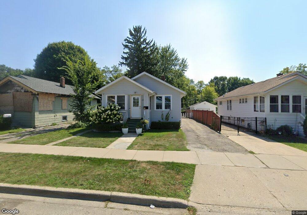
1515 Brookside Ave Waukegan, IL 60085
West Waukegan NeighborhoodEstimated Value: $190,000 - $241,000
3
Beds
1
Bath
1,008
Sq Ft
$217/Sq Ft
Est. Value
About This Home
This home is located at 1515 Brookside Ave, Waukegan, IL 60085 and is currently estimated at $218,895, approximately $217 per square foot. 1515 Brookside Ave is a home located in Lake County with nearby schools including Hyde Park Elementary School, Miguel Juarez Middle School, and Waukegan High School.
Ownership History
Date
Name
Owned For
Owner Type
Purchase Details
Closed on
Oct 20, 2004
Sold by
Declarati Hill Jeffrey A and Declarati Elizabeth Helen Hill
Bought by
Zavala Luis Martin
Current Estimated Value
Home Financials for this Owner
Home Financials are based on the most recent Mortgage that was taken out on this home.
Original Mortgage
$121,250
Outstanding Balance
$60,371
Interest Rate
5.85%
Mortgage Type
Purchase Money Mortgage
Estimated Equity
$158,524
Purchase Details
Closed on
Jun 9, 1997
Sold by
Hill E Helen
Bought by
Hill Elizabeth Helen and Trust #1515
Create a Home Valuation Report for This Property
The Home Valuation Report is an in-depth analysis detailing your home's value as well as a comparison with similar homes in the area
Home Values in the Area
Average Home Value in this Area
Purchase History
| Date | Buyer | Sale Price | Title Company |
|---|---|---|---|
| Zavala Luis Martin | $125,000 | First American Title | |
| Hill Elizabeth Helen | -- | -- |
Source: Public Records
Mortgage History
| Date | Status | Borrower | Loan Amount |
|---|---|---|---|
| Open | Zavala Luis Martin | $121,250 |
Source: Public Records
Tax History Compared to Growth
Tax History
| Year | Tax Paid | Tax Assessment Tax Assessment Total Assessment is a certain percentage of the fair market value that is determined by local assessors to be the total taxable value of land and additions on the property. | Land | Improvement |
|---|---|---|---|---|
| 2024 | $3,045 | $55,874 | $8,598 | $47,276 |
| 2023 | $3,078 | $50,024 | $7,698 | $42,326 |
| 2022 | $3,078 | $37,482 | $7,017 | $30,465 |
| 2021 | $2,791 | $32,768 | $6,609 | $26,159 |
| 2020 | $2,780 | $30,527 | $6,157 | $24,370 |
| 2019 | $2,745 | $27,973 | $5,642 | $22,331 |
| 2018 | $2,284 | $23,208 | $6,654 | $16,554 |
| 2017 | $2,067 | $20,533 | $5,887 | $14,646 |
| 2016 | $1,830 | $17,843 | $5,116 | $12,727 |
| 2015 | $1,820 | $15,970 | $4,579 | $11,391 |
| 2014 | $2,236 | $18,754 | $4,396 | $14,358 |
| 2012 | $2,991 | $20,319 | $4,763 | $15,556 |
Source: Public Records
Map
Nearby Homes
- 1527 Brookside Ave
- 132 Dorchester Ct
- 1416 Hamilton Ct
- 1820 Jenkinson Ct
- 619 N Butrick St
- 1521 Catalpa Ave
- 511 Chestnut St
- 427 Tiffany Dr
- 1213 Grand Ave
- 428 N Poplar St
- 522 N Poplar St
- 1109 Massena Ave
- 702 Franklin St
- 615 Tiffany Dr
- 443 N Ash St
- 613 Washington St
- 917 N Linden Ave
- 1000 Pine St
- 610 Bluff St
- 557 W Water St
- 1513 Brookside Ave
- 1517 Brookside Ave
- 1509 Brookside Ave
- 1519 Brookside Ave
- 1503 Brookside Ave
- 1521 Brookside Ave
- 1501 Brookside Ave
- 1523 Brookside Ave
- 1516 Brookside Ave
- 1518 Brookside Ave
- 1514 Brookside Ave
- 1510 Brookside Ave
- 1423 Brookside Ave
- 1520 Brookside Ave
- 1525 Brookside Ave
- 1506 Brookside Ave
- 1522 Brookside Ave
- 309 Judge Ave
- 305 Judge Ave
- 1419 Brookside Ave