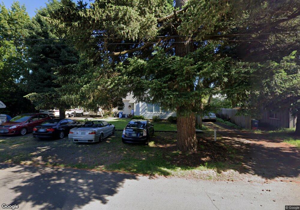
1515 Elkay Dr Eugene, OR 97404
River Road NeighborhoodEstimated Value: $409,000 - $441,000
4
Beds
4
Baths
1,604
Sq Ft
$267/Sq Ft
Est. Value
About This Home
This home is located at 1515 Elkay Dr, Eugene, OR 97404 and is currently estimated at $427,723, approximately $266 per square foot. 1515 Elkay Dr is a home located in Lane County with nearby schools including River Road/El Camino del Río Elementary School, Kelly Middle School, and North Eugene High School.
Ownership History
Date
Name
Owned For
Owner Type
Purchase Details
Closed on
Jan 11, 2016
Sold by
Boatman Matthew P
Bought by
Radka Lawrence E and Radka Mary Lee
Current Estimated Value
Purchase Details
Closed on
Jun 15, 2005
Sold by
Schultz Scott C and Schultz Mikell L
Bought by
Boatman Matthew P
Home Financials for this Owner
Home Financials are based on the most recent Mortgage that was taken out on this home.
Original Mortgage
$171,200
Interest Rate
6%
Mortgage Type
New Conventional
Purchase Details
Closed on
Mar 5, 1998
Sold by
Gott Donald R and Gott G M
Bought by
Schultz Scott C and Finch John Tyke
Home Financials for this Owner
Home Financials are based on the most recent Mortgage that was taken out on this home.
Original Mortgage
$111,775
Interest Rate
8.25%
Create a Home Valuation Report for This Property
The Home Valuation Report is an in-depth analysis detailing your home's value as well as a comparison with similar homes in the area
Home Values in the Area
Average Home Value in this Area
Purchase History
| Date | Buyer | Sale Price | Title Company |
|---|---|---|---|
| Radka Lawrence E | $228,000 | Western Title & Escrow | |
| Boatman Matthew P | $214,000 | Fidelity National Title Insu | |
| Schultz Scott C | $131,500 | Western Pioneer Title Co |
Source: Public Records
Mortgage History
| Date | Status | Borrower | Loan Amount |
|---|---|---|---|
| Previous Owner | Boatman Matthew P | $171,200 | |
| Previous Owner | Schultz Scott C | $111,775 |
Source: Public Records
Tax History
| Year | Tax Paid | Tax Assessment Tax Assessment Total Assessment is a certain percentage of the fair market value that is determined by local assessors to be the total taxable value of land and additions on the property. | Land | Improvement |
|---|---|---|---|---|
| 2025 | $3,886 | $199,426 | -- | -- |
| 2024 | $3,837 | $193,618 | -- | -- |
| 2023 | $3,837 | $187,979 | $0 | $0 |
| 2022 | $3,595 | $182,504 | $0 | $0 |
| 2021 | $3,376 | $177,189 | $0 | $0 |
| 2020 | $3,388 | $172,029 | $0 | $0 |
| 2019 | $3,272 | $167,019 | $0 | $0 |
| 2018 | $3,080 | $157,432 | $0 | $0 |
| 2017 | $2,942 | $157,432 | $0 | $0 |
| 2016 | $2,856 | $152,847 | $0 | $0 |
| 2015 | $2,711 | $148,395 | $0 | $0 |
| 2014 | $2,665 | $144,073 | $0 | $0 |
Source: Public Records
Map
Nearby Homes
- 895 Glory Dr
- 1633 Zoe Ave
- 1010 N Park Ave
- 820 Park Terrace
- 780 Cherry Ave
- 1010 Horn Ln
- 734 Filbert Ave
- 1164 Veronica Ln
- 788 Cornwall Ave
- 1035 Madera St
- 1314 Dalton Dr
- 1360 Andersen Ln
- 32 Marion Ln
- 157 Hansen Ln
- 1420 Evergreen Dr
- 3210 Royal Ave
- 630 Gilbert St
- 1483 Barton St
- 1487 Barton St
- 1555 Escalante St
Your Personal Tour Guide
Ask me questions while you tour the home.