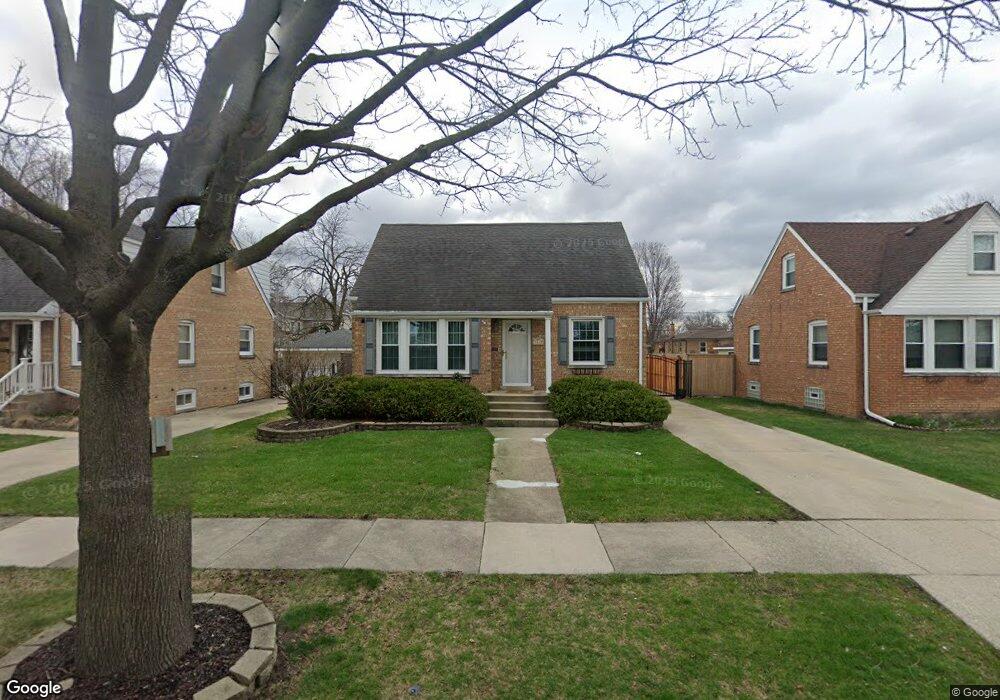
1515 Kemman Ave La Grange Park, IL 60526
Estimated Value: $394,000 - $421,000
4
Beds
2
Baths
1,298
Sq Ft
$316/Sq Ft
Est. Value
About This Home
This home is located at 1515 Kemman Ave, La Grange Park, IL 60526 and is currently estimated at $410,487, approximately $316 per square foot. 1515 Kemman Ave is a home located in Cook County with nearby schools including S. E. Gross Middle School, Brook Park Elementary School, and Riverside Brookfield High School.
Ownership History
Date
Name
Owned For
Owner Type
Purchase Details
Closed on
Jul 1, 1995
Sold by
Clark Dean R and Clark Anne M
Bought by
Tyminski Peter F and Tyminski Lisa M
Current Estimated Value
Home Financials for this Owner
Home Financials are based on the most recent Mortgage that was taken out on this home.
Original Mortgage
$134,911
Interest Rate
7.76%
Create a Home Valuation Report for This Property
The Home Valuation Report is an in-depth analysis detailing your home's value as well as a comparison with similar homes in the area
Home Values in the Area
Average Home Value in this Area
Purchase History
| Date | Buyer | Sale Price | Title Company |
|---|---|---|---|
| Tyminski Peter F | -- | Lawyers Title Insurance Corp |
Source: Public Records
Mortgage History
| Date | Status | Borrower | Loan Amount |
|---|---|---|---|
| Previous Owner | Tyminski Peter F | $134,911 |
Source: Public Records
Tax History Compared to Growth
Tax History
| Year | Tax Paid | Tax Assessment Tax Assessment Total Assessment is a certain percentage of the fair market value that is determined by local assessors to be the total taxable value of land and additions on the property. | Land | Improvement |
|---|---|---|---|---|
| 2024 | $8,758 | $30,429 | $4,690 | $25,739 |
| 2023 | $9,724 | $30,429 | $4,690 | $25,739 |
| 2022 | $9,724 | $29,167 | $4,020 | $25,147 |
| 2021 | $9,450 | $29,167 | $4,020 | $25,147 |
| 2020 | $9,281 | $29,167 | $4,020 | $25,147 |
| 2019 | $7,796 | $25,569 | $3,685 | $21,884 |
| 2018 | $7,640 | $25,569 | $3,685 | $21,884 |
| 2017 | $7,154 | $25,569 | $3,685 | $21,884 |
| 2016 | $7,923 | $25,285 | $3,350 | $21,935 |
| 2015 | $7,455 | $25,285 | $3,350 | $21,935 |
| 2014 | $7,368 | $25,285 | $3,350 | $21,935 |
| 2013 | $7,498 | $27,147 | $3,350 | $23,797 |
Source: Public Records
Map
Nearby Homes
- 1518 Cleveland Ave
- 1436 Kemman Ave
- 1535 Beach Ave
- 1543 Cleveland Ave
- 1427 Cleveland Ave
- 1245 Morgan Ave
- 1427 Homestead Rd Unit H
- 1427 Homestead Rd Unit F
- 205 Huntington Ct
- 213 Pine Tree Ln
- 2246 S 18th Ave
- 9532 Lexington Ave
- 1132 Community Dr
- 3128 Arthur Ave
- 314 E 31st St
- 9532 Jackson Ave
- 3251 Grand Blvd
- 929 Sherwood Rd
- 2263 S 14th Ave
- 3108 Oak Ave
- 1519 Kemman Ave
- 1511 Kemman Ave
- 1521 Kemman Ave
- 1505 Kemman Ave
- 1514 Blanchan Ave
- 1510 Blanchan Ave
- 1518 Blanchan Ave
- 1501 Kemman Ave
- 1506 Blanchan Ave
- 1522 Blanchan Ave
- 1512 Kemman Ave
- 1529 Kemman Ave
- 1502 Blanchan Ave
- 1516 Kemman Ave
- 1524 Blanchan Ave
- 1508 Kemman Ave
- 1520 Kemman Ave
- 1504 Kemman Ave
- 1528 Blanchan Ave
- 1524 Kemman Ave