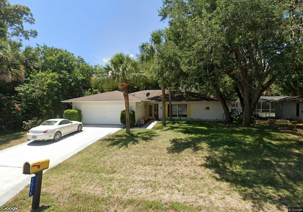
1515 Lanco St Port Charlotte, FL 33952
Estimated Value: $287,000 - $329,000
3
Beds
2
Baths
1,704
Sq Ft
$176/Sq Ft
Est. Value
About This Home
This home is located at 1515 Lanco St, Port Charlotte, FL 33952 and is currently estimated at $299,942, approximately $176 per square foot. 1515 Lanco St is a home located in Charlotte County with nearby schools including Neil Armstrong Elementary School, Murdock Middle School, and Port Charlotte High School.
Ownership History
Date
Name
Owned For
Owner Type
Purchase Details
Closed on
Aug 20, 2008
Sold by
Marryott Thomas D and Marryott Mary L
Bought by
Stralko Ed and Stralko Martha
Current Estimated Value
Home Financials for this Owner
Home Financials are based on the most recent Mortgage that was taken out on this home.
Original Mortgage
$50,000
Outstanding Balance
$32,622
Interest Rate
6.21%
Mortgage Type
Purchase Money Mortgage
Estimated Equity
$267,320
Purchase Details
Closed on
Apr 15, 2005
Sold by
Jones Phillip J and Jones Melissa
Bought by
Marryott Thomas D and Marryott Mary T
Home Financials for this Owner
Home Financials are based on the most recent Mortgage that was taken out on this home.
Original Mortgage
$197,100
Interest Rate
5.79%
Mortgage Type
Fannie Mae Freddie Mac
Create a Home Valuation Report for This Property
The Home Valuation Report is an in-depth analysis detailing your home's value as well as a comparison with similar homes in the area
Home Values in the Area
Average Home Value in this Area
Purchase History
| Date | Buyer | Sale Price | Title Company |
|---|---|---|---|
| Stralko Ed | $148,900 | Sunbelt Title Agency | |
| Marryott Thomas D | $219,000 | -- |
Source: Public Records
Mortgage History
| Date | Status | Borrower | Loan Amount |
|---|---|---|---|
| Open | Stralko Ed | $50,000 | |
| Previous Owner | Marryott Thomas D | $197,100 |
Source: Public Records
Tax History Compared to Growth
Tax History
| Year | Tax Paid | Tax Assessment Tax Assessment Total Assessment is a certain percentage of the fair market value that is determined by local assessors to be the total taxable value of land and additions on the property. | Land | Improvement |
|---|---|---|---|---|
| 2023 | $1,487 | $88,018 | $0 | $0 |
| 2022 | $1,411 | $85,454 | $0 | $0 |
| 2021 | $1,390 | $82,965 | $0 | $0 |
| 2020 | $1,345 | $81,820 | $0 | $0 |
| 2019 | $1,263 | $79,980 | $0 | $0 |
| 2018 | $1,145 | $78,489 | $0 | $0 |
| 2017 | $1,126 | $76,875 | $0 | $0 |
| 2016 | $1,111 | $75,294 | $0 | $0 |
| 2015 | $1,084 | $73,229 | $0 | $0 |
| 2014 | $1,065 | $72,648 | $0 | $0 |
Source: Public Records
Map
Nearby Homes
- 1505 Kenmore St
- 1529 Newton St
- 21196 Burkhart Dr
- 1505 Fireside St
- 1490 Yorkshire St
- 2102 Alaric St
- 2126 Hanby St
- 1370 Kenmore St
- 1394 Viscaya Dr
- 1409 Yorkshire St
- 2116 Hanson St
- 1370 Dewitt St
- 1418 Viscaya
- 21290 Glendale Ave
- 1505 Harbor Blvd
- 1497 Harbor Blvd
- 1402 Viscaya Dr
- 21068 Exmore Ave
- 21432 Bryn Mawr Ave
- 1321 Newton St