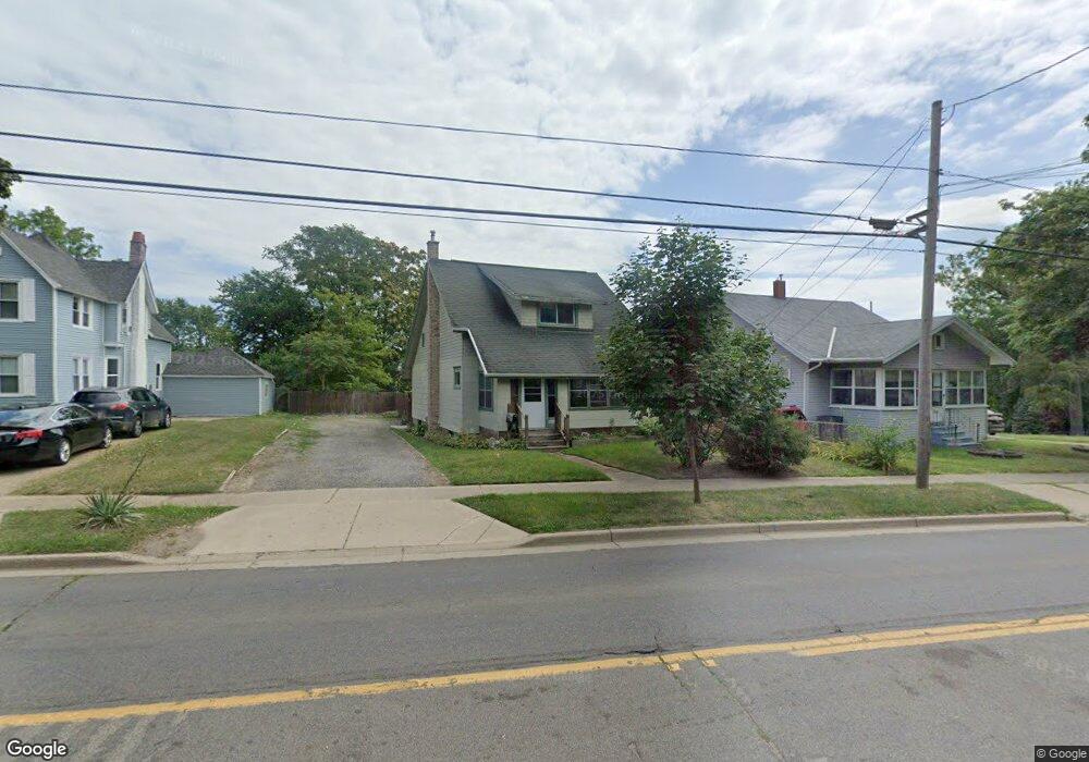
1515 Lansing Ave Jackson, MI 49202
River North NeighborhoodEstimated Value: $110,933 - $142,000
3
Beds
1
Bath
1,272
Sq Ft
$97/Sq Ft
Est. Value
About This Home
This home is located at 1515 Lansing Ave, Jackson, MI 49202 and is currently estimated at $123,733, approximately $97 per square foot. 1515 Lansing Ave is a home located in Jackson County with nearby schools including Hunt Elementary School, Middle School at Parkside, and Jackson High School.
Ownership History
Date
Name
Owned For
Owner Type
Purchase Details
Closed on
Jun 20, 2016
Sold by
Schrader Troy E
Bought by
Jackson Schrader Elizabeth
Current Estimated Value
Purchase Details
Closed on
Jul 21, 2003
Sold by
Collard Richard E and Collard Lou Anne
Bought by
Schrader Troy E and Jackson Schrader Elizabeth
Home Financials for this Owner
Home Financials are based on the most recent Mortgage that was taken out on this home.
Original Mortgage
$70,000
Interest Rate
6.24%
Mortgage Type
Purchase Money Mortgage
Create a Home Valuation Report for This Property
The Home Valuation Report is an in-depth analysis detailing your home's value as well as a comparison with similar homes in the area
Home Values in the Area
Average Home Value in this Area
Purchase History
| Date | Buyer | Sale Price | Title Company |
|---|---|---|---|
| Jackson Schrader Elizabeth | -- | Attorney | |
| Schrader Troy E | $87,500 | -- |
Source: Public Records
Mortgage History
| Date | Status | Borrower | Loan Amount |
|---|---|---|---|
| Previous Owner | Schrader Troy E | $70,000 | |
| Closed | Schrader Troy E | $17,500 |
Source: Public Records
Tax History
| Year | Tax Paid | Tax Assessment Tax Assessment Total Assessment is a certain percentage of the fair market value that is determined by local assessors to be the total taxable value of land and additions on the property. | Land | Improvement |
|---|---|---|---|---|
| 2025 | $1,252 | $45,600 | $0 | $0 |
| 2024 | $10 | $45,200 | $0 | $0 |
| 2023 | $984 | $44,500 | $0 | $0 |
| 2022 | $1,147 | $34,600 | $0 | $0 |
| 2021 | $1,144 | $28,600 | $0 | $0 |
| 2020 | $1,133 | $27,900 | $0 | $0 |
| 2019 | $1,226 | $26,550 | $0 | $0 |
| 2018 | $1,157 | $25,400 | $0 | $0 |
| 2017 | $1,035 | $22,500 | $0 | $0 |
| 2016 | $891 | $25,900 | $25,900 | $0 |
| 2015 | $1,036 | $23,600 | $23,600 | $0 |
| 2014 | $1,036 | $23,750 | $0 | $0 |
| 2013 | -- | $23,750 | $23,750 | $0 |
Source: Public Records
Map
Nearby Homes
- 951 W Monroe St
- 431 Madison St
- 550 Royal Dr
- 1105 Clinton Rd
- 1012 Lansing Ave
- 939 Backus St
- 735 Royal Dr
- 319 W North St
- 833 Backus St
- 1422 Cooper St
- 1302 Cooper St
- 127 W Argyle St
- 0 Brookley Ave
- 121 Frost St
- 1025 Hamilton St
- 313 Taylor St
- 713 Webb St
- 718 Center St
- 0 Shirley Dr Unit 24064060
- 521 Oakhill Ave
- 1519 Lansing Ave
- 1511 Lansing Ave
- 1511 Lansing Ave
- 437 Saint Clair Ave
- 438 Dewey Ave
- 0 Lansing Unit 20023146
- 0 Lansing Unit 20028020
- 0 Lansing Ave Unit V/L 201601053
- 0 Lansing Ave Unit 201600552
- 0 Lansing Unit 201600806
- 0 Lansing Ave Unit 55021038028
- 0 Lansing Ave Unit 55021037668
- 0 St Clair St Unit 20458616
- 0 St Clair St Unit M21032798
- 0 St Clair St Unit 20421910
- 433 Saint Clair Ave
- 434 Dewey Ave
- 1510 Lansing Ave
- 1514 Lansing Ave
- 429 St Clair St
Your Personal Tour Guide
Ask me questions while you tour the home.