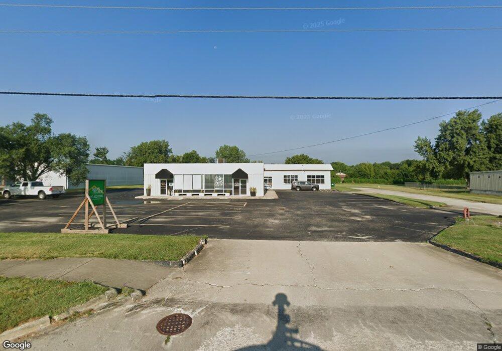
1515 N State Route 121 Mount Zion, IL 62549
Estimated Value: $500,395
--
Bed
--
Bath
--
Sq Ft
0.94
Acres
About This Home
This home is located at 1515 N State Route 121, Mount Zion, IL 62549 and is currently estimated at $500,395. 1515 N State Route 121 is a home located in Macon County with nearby schools including McGaughey Elementary School, Mt. Zion Intermediate School, and Mt. Zion Elementary School.
Ownership History
Date
Name
Owned For
Owner Type
Purchase Details
Closed on
Aug 10, 2012
Sold by
Tr Of Decatur Llc
Bought by
Alford Timothy and Alford Erica
Current Estimated Value
Home Financials for this Owner
Home Financials are based on the most recent Mortgage that was taken out on this home.
Original Mortgage
$126,800
Interest Rate
3.6%
Mortgage Type
Future Advance Clause Open End Mortgage
Purchase Details
Closed on
Oct 29, 2009
Sold by
Tr Of Decatur Llc
Bought by
Tr Of Decatur Llc
Purchase Details
Closed on
Nov 23, 2005
Sold by
Gasmarts Of Chicago Llc
Bought by
Mt Zion Gas Inc
Home Financials for this Owner
Home Financials are based on the most recent Mortgage that was taken out on this home.
Original Mortgage
$105,000
Interest Rate
6.17%
Mortgage Type
Commercial
Purchase Details
Closed on
Nov 1, 2004
Create a Home Valuation Report for This Property
The Home Valuation Report is an in-depth analysis detailing your home's value as well as a comparison with similar homes in the area
Home Values in the Area
Average Home Value in this Area
Purchase History
| Date | Buyer | Sale Price | Title Company |
|---|---|---|---|
| Alford Timothy | $317,000 | None Available | |
| Tr Of Decatur Llc | -- | None Available | |
| Mt Zion Gas Inc | $750,000 | None Available | |
| -- | $515,000 | -- |
Source: Public Records
Mortgage History
| Date | Status | Borrower | Loan Amount |
|---|---|---|---|
| Closed | Alford Timothy | $126,800 | |
| Closed | Alford Timothy | $158,500 | |
| Previous Owner | Mt Zion Gas Inc | $105,000 |
Source: Public Records
Tax History Compared to Growth
Tax History
| Year | Tax Paid | Tax Assessment Tax Assessment Total Assessment is a certain percentage of the fair market value that is determined by local assessors to be the total taxable value of land and additions on the property. | Land | Improvement |
|---|---|---|---|---|
| 2024 | $5,445 | $69,755 | $18,508 | $51,247 |
| 2023 | $5,298 | $64,877 | $17,214 | $47,663 |
| 2022 | $5,092 | $61,535 | $16,327 | $45,208 |
| 2021 | $4,973 | $57,648 | $15,296 | $42,352 |
| 2020 | $4,808 | $56,385 | $14,961 | $41,424 |
| 2019 | $4,808 | $56,385 | $14,961 | $41,424 |
| 2018 | $4,674 | $54,945 | $14,579 | $40,366 |
| 2017 | $4,620 | $53,889 | $14,299 | $39,590 |
| 2016 | $4,582 | $52,951 | $14,050 | $38,901 |
| 2015 | $4,436 | $52,427 | $13,911 | $38,516 |
| 2014 | $4,308 | $52,427 | $13,911 | $38,516 |
| 2013 | $4,326 | $52,427 | $13,911 | $38,516 |
Source: Public Records
Map
Nearby Homes
- 570 Fawn Ct
- 1440 N Alexander Dr
- 3930 S Mount Zion Rd
- 1625 Ridgewood Ct
- 1700 Brentwood Dr
- 860 W Wildwood Dr
- 5909 Camp Warren Rd
- 125 W Walnut St
- 1610 Robin Ct
- 9 Blakeridge Place
- 695 Country Ct
- 1030 Country Manor
- 50 Sundance Dr
- 1420 Noble Dr
- 524 Elm St
- 3330 S Baltimore Ave
- 265 Carrington Ave
- 2125 Buckhead Ave
- 5460 E Firehouse Rd
- 2110 Buckhead Ln
- 1510 N State Route 121 Unit 121
- 1510 N State Route 121
- 1505 N State Route 121 Unit 121
- 1460 N State Route 121
- 1565 N State Route 121 Unit 121
- 1430 Illinois 121
- 1445 N State Route 121 Unit 121
- 1410 E Village Pkwy
- 1552 Dogwood Dr
- 1435 N State Route 121 Unit 121
- 1592 Dogwood Dr
- 1405 Illinois 121
- 110 Casa Park Dr Unit 150
- 110 Casa Park Dr Unit 190
- 1594 Dogwood Dr
- 1594 Dogwood Dr
- 1405 N State Route 121 Hwy
- 1551 Dogwood Dr
- 1596 Dogwood Ct
- 1596 Dogwood Dr