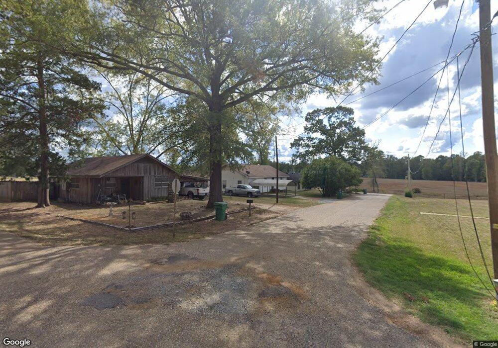
1515 Pine St Jonesboro, LA 71251
Estimated Value: $50,000 - $137,000
--
Bed
--
Bath
--
Sq Ft
10,498
Sq Ft Lot
About This Home
This home is located at 1515 Pine St, Jonesboro, LA 71251 and is currently estimated at $78,151. 1515 Pine St is a home located in Jackson Parish with nearby schools including Jonesboro-Hodge Elementary School, Jonesboro-Hodge Middle School, and Jonesboro-Hodge High School.
Ownership History
Date
Name
Owned For
Owner Type
Purchase Details
Closed on
Jul 14, 2016
Sold by
Tippin Davis Marion and Davis Robert A
Bought by
Gray Paul D
Current Estimated Value
Home Financials for this Owner
Home Financials are based on the most recent Mortgage that was taken out on this home.
Original Mortgage
$37,789
Outstanding Balance
$30,128
Interest Rate
3.54%
Mortgage Type
New Conventional
Estimated Equity
$48,023
Purchase Details
Closed on
Jul 15, 2011
Sold by
Tippin Davis Robert A and Tippin Davis Marion
Bought by
Lowe Michael
Create a Home Valuation Report for This Property
The Home Valuation Report is an in-depth analysis detailing your home's value as well as a comparison with similar homes in the area
Home Values in the Area
Average Home Value in this Area
Purchase History
| Date | Buyer | Sale Price | Title Company |
|---|---|---|---|
| Gray Paul D | $35,000 | None Available | |
| Lowe Michael | $35,000 | None Available |
Source: Public Records
Mortgage History
| Date | Status | Borrower | Loan Amount |
|---|---|---|---|
| Open | Gray Paul D | $37,789 |
Source: Public Records
Tax History Compared to Growth
Tax History
| Year | Tax Paid | Tax Assessment Tax Assessment Total Assessment is a certain percentage of the fair market value that is determined by local assessors to be the total taxable value of land and additions on the property. | Land | Improvement |
|---|---|---|---|---|
| 2024 | $55 | $3,390 | $300 | $3,090 |
| 2023 | $54 | $3,240 | $300 | $2,940 |
| 2022 | $364 | $3,240 | $300 | $2,940 |
| 2021 | $364 | $3,240 | $300 | $2,940 |
| 2020 | $371 | $3,240 | $300 | $2,940 |
| 2019 | $401 | $3,500 | $150 | $3,350 |
| 2018 | $408 | $3,500 | $150 | $3,350 |
| 2017 | $411 | $3,500 | $0 | $3,500 |
| 2015 | $393 | $3,500 | $0 | $3,500 |
| 2013 | $401 | $3,500 | $0 | $3,500 |
Source: Public Records
Map
Nearby Homes
- 1205 S Hudson Ave
- 0 Par Road 610
- 102 E 9th St
- 000 U S Highway 167
- 000 U S Highway 167 Unit Tract 1 & 2
- 118 E 10th St
- 182 Forest Dr
- 548 Old Winnfield Rd
- 380 Old Winnfield Rd
- 374 Old Winnfield Rd
- 116 Avenue B Other
- 0 Dale Dr
- Lot 13 Dale Dr
- Lot 15 Dale Dr
- Lot 11 Dale Dr
- Lot 5 Dale Dr
- Lot 14 Dale Dr
- Lot 12 Dale Dr
- Lot 4 Dale Dr
- 206 Allen Ave