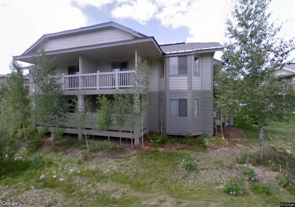
1515 Point Dr Unit 1515203 Frisco, CO 80443
Estimated Value: $608,828 - $714,000
1
Bed
1
Bath
864
Sq Ft
$756/Sq Ft
Est. Value
About This Home
This home is located at 1515 Point Dr Unit 1515203, Frisco, CO 80443 and is currently estimated at $653,457, approximately $756 per square foot. 1515 Point Dr Unit 1515203 is a home located in Summit County with nearby schools including Frisco Elementary School, Summit Middle School, and Summit High School.
Ownership History
Date
Name
Owned For
Owner Type
Purchase Details
Closed on
Jun 26, 2023
Sold by
Johnson Bethany A and Jackson Jeffrey S
Bought by
Michael Vahe Melkonian And Rayni Lea Melkonia
Current Estimated Value
Purchase Details
Closed on
Apr 14, 2017
Sold by
Petersen Anthony J and Reif Nancy
Bought by
Johnson Bethany A and Jackson Jeffrey S
Home Financials for this Owner
Home Financials are based on the most recent Mortgage that was taken out on this home.
Original Mortgage
$132,000
Interest Rate
4.21%
Mortgage Type
New Conventional
Purchase Details
Closed on
Aug 19, 2005
Sold by
Houx Michael R
Bought by
Rodkey James D
Home Financials for this Owner
Home Financials are based on the most recent Mortgage that was taken out on this home.
Original Mortgage
$183,900
Interest Rate
4.75%
Mortgage Type
Adjustable Rate Mortgage/ARM
Create a Home Valuation Report for This Property
The Home Valuation Report is an in-depth analysis detailing your home's value as well as a comparison with similar homes in the area
Home Values in the Area
Average Home Value in this Area
Purchase History
| Date | Buyer | Sale Price | Title Company |
|---|---|---|---|
| Michael Vahe Melkonian And Rayni Lea Melkonia | $648,000 | Land Title Guarantee | |
| Johnson Bethany A | $315,000 | Land Title Guarantee Company | |
| Rodkey James D | $263,900 | Stewart Title |
Source: Public Records
Mortgage History
| Date | Status | Borrower | Loan Amount |
|---|---|---|---|
| Previous Owner | Johnson Bethany A | $132,000 | |
| Previous Owner | Rodkey James D | $183,900 |
Source: Public Records
Tax History Compared to Growth
Tax History
| Year | Tax Paid | Tax Assessment Tax Assessment Total Assessment is a certain percentage of the fair market value that is determined by local assessors to be the total taxable value of land and additions on the property. | Land | Improvement |
|---|---|---|---|---|
| 2024 | $2,214 | $44,066 | -- | $44,066 |
| 2023 | $2,214 | $40,381 | $0 | $0 |
| 2022 | $1,611 | $27,807 | $0 | $0 |
| 2021 | $1,626 | $28,607 | $0 | $0 |
| 2020 | $1,340 | $25,163 | $0 | $0 |
| 2019 | $1,322 | $25,163 | $0 | $0 |
| 2018 | $1,190 | $21,971 | $0 | $0 |
| 2017 | $1,090 | $21,971 | $0 | $0 |
| 2016 | $1,017 | $20,183 | $0 | $0 |
| 2015 | $985 | $20,183 | $0 | $0 |
| 2014 | $955 | $19,325 | $0 | $0 |
| 2013 | -- | $19,325 | $0 | $0 |
Source: Public Records
Map
Nearby Homes
- 1519 Point Dr Unit 19-203
- 101 Morningstar Cir Unit C
- 354 Giberson Rd
- 1127 9000 Divide Unit 108
- 1127 9000 Divide Unit 104
- 1101 9000 Divide Unit 210
- 1101 9000 Divide Rd Unit 210
- 1101 9000 Divide Unit 206
- 0045 Cr 1232
- 980 Lakepoint Dr Unit 404
- 801 Lakepoint Dr Unit B17
- 803 B Lakepoint Ct
- 965 N Ten Mile Dr Unit A6
- 909 Lakepoint Cir Unit B
- 909 Lakepoint Cir Unit A
- 909 Lakepoint Cir Unit C
- 803 Lakepoint Ct Unit B
- 720 Lakepoint Dr Unit B4
- 105 Lusher Ct Unit 112
- 105 Lusher Ct Unit 106
- 1515 Point Dr Unit 203
- 1515 Point Dr Unit 204
- 1515 Point Dr Unit 102
- 1517 Point Dr Unit 17-202
- 1517 Point Dr Unit 202
- 1517 Point Dr Unit 17-201
- 1517 Point Dr Unit 101
- 1519 Point Dr Unit 19-202
- 1519 Point Dr Unit 102 on left
- 1519 Point Dr Unit C1519-
- 1519 Point Dr Unit 101
- 1519 Point Dr Unit 206
- 1519 Point Dr Unit 203
- 1519 Point Dr Unit 103
- 1519 Point Dr Unit 205
- 1522 Point Dr Unit A
- 1522 Point Dr Unit B
- 1516 Point Dr Unit B
- 1514 Point Dr Unit 1514 C
- 1514 Point Dr Unit B