Estimated Value: $21,405,342
--
Bed
--
Bath
--
Sq Ft
8.17
Acres
About This Home
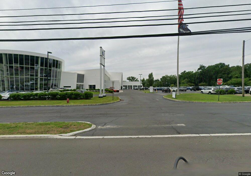
This home is located at 1515 State Route 23, Wayne, NJ 07470 and is currently estimated at $21,405,342. 1515 State Route 23 is a home with nearby schools including Ryerson Elementary School, George Washington Middle School, and Wayne Valley High School.
Ownership History
Date
Name
Owned For
Owner Type
Purchase Details
Closed on
Jul 28, 2009
Sold by
T A S Realty Co
Bought by
1515 Route 23 Llc
Current Estimated Value
Home Financials for this Owner
Home Financials are based on the most recent Mortgage that was taken out on this home.
Original Mortgage
$20,200,000
Outstanding Balance
$13,344,086
Interest Rate
5.47%
Mortgage Type
Commercial
Estimated Equity
$8,061,256
Create a Home Valuation Report for This Property
The Home Valuation Report is an in-depth analysis detailing your home's value as well as a comparison with similar homes in the area
Home Values in the Area
Average Home Value in this Area
Purchase History
| Date | Buyer | Sale Price | Title Company |
|---|---|---|---|
| 1515 Route 23 Llc | $11,300,000 | -- |
Source: Public Records
Mortgage History
| Date | Status | Borrower | Loan Amount |
|---|---|---|---|
| Open | 1515 Route 23 Llc | $20,200,000 |
Source: Public Records
Tax History Compared to Growth
Tax History
| Year | Tax Paid | Tax Assessment Tax Assessment Total Assessment is a certain percentage of the fair market value that is determined by local assessors to be the total taxable value of land and additions on the property. | Land | Improvement |
|---|---|---|---|---|
| 2025 | $518,789 | $8,725,000 | $4,900,000 | $3,825,000 |
| 2024 | $498,896 | $8,725,000 | $4,900,000 | $3,825,000 |
| 2022 | $493,312 | $8,725,000 | $4,900,000 | $3,825,000 |
| 2021 | $492,788 | $8,725,000 | $4,900,000 | $3,825,000 |
| 2020 | $490,607 | $8,725,000 | $4,900,000 | $3,825,000 |
| 2019 | $481,097 | $8,725,000 | $4,900,000 | $3,825,000 |
| 2018 | $476,821 | $8,725,000 | $4,900,000 | $3,825,000 |
| 2017 | $472,459 | $8,725,000 | $4,900,000 | $3,825,000 |
| 2016 | $465,828 | $8,725,000 | $4,900,000 | $3,825,000 |
| 2015 | $460,244 | $8,725,000 | $4,900,000 | $3,825,000 |
| 2014 | $447,244 | $8,725,000 | $4,900,000 | $3,825,000 |
Source: Public Records
Map
Nearby Homes
- 202 Newark Pompton Turnpike
- 237 Whitmore Ave
- 20 Newark Pompton Turnpike
- 0 Oakwood Ave Unit 3989632
- 187 Hillcrest Dr
- 138 Lake Dr W
- 00 Oakwood Ave
- 1 Lenape Trail
- 107 Randolph St
- 71 Lake Trail E
- 16 Winonah Ave
- 38 Marlin Ave
- 1 Todd Terrace
- 8 Torbet Dr
- 4 Pine Terrace
- 30 Alpine Dr
- 11 Robin Hood Way
- 38 Stirling Ln
- 140 de Hart St
- 48 Alps Rd
- 1467 Route 23
- 1479 State Route 23
- 1479 New Jersey 23
- 2 Doig Rd
- 1555 State Route 23
- 10 Doig Rd
- 1534 State Route 23
- 1546 State Route 23
- 1492 New Jersey 23
- 14 Doig Rd
- 390 Newark Pompton Turnpike
- 1474 Route 23n
- 1459 Route 23
- 308 Newark Pompton Turnpike
- 1484 New Jersey 23
- 332 Newark Pompton Turnpike
- 15 Dehart Ct
- 346 Newark Pompton Turnpike
- 18 Doig Rd
- 1581 New Jersey 23