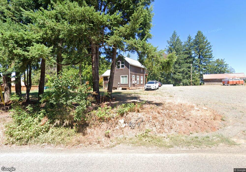
15151 S Howards Mill Rd Mulino, OR 97042
Estimated Value: $373,000 - $777,000
1
Bed
--
Bath
902
Sq Ft
$548/Sq Ft
Est. Value
About This Home
This home is located at 15151 S Howards Mill Rd, Mulino, OR 97042 and is currently estimated at $494,620, approximately $548 per square foot. 15151 S Howards Mill Rd is a home located in Clackamas County.
Ownership History
Date
Name
Owned For
Owner Type
Purchase Details
Closed on
Feb 23, 2021
Sold by
Hand Devon
Bought by
Houston Sharon Kay
Current Estimated Value
Home Financials for this Owner
Home Financials are based on the most recent Mortgage that was taken out on this home.
Original Mortgage
$277,900
Outstanding Balance
$248,114
Interest Rate
2.73%
Mortgage Type
New Conventional
Estimated Equity
$246,506
Purchase Details
Closed on
Jan 16, 2020
Sold by
Cannon Laura and Big Mom Trust
Bought by
Houston Sharon Kay and Hand Devon
Home Financials for this Owner
Home Financials are based on the most recent Mortgage that was taken out on this home.
Original Mortgage
$108,000
Interest Rate
3.73%
Mortgage Type
Future Advance Clause Open End Mortgage
Purchase Details
Closed on
Mar 1, 2018
Sold by
Cannon Joseph
Bought by
Cannon Joseph Thomas and Big Mom Trust
Purchase Details
Closed on
Aug 19, 1997
Sold by
Cannon Leslie and Cannon Emily
Bought by
Cannon Joseph
Purchase Details
Closed on
Jun 9, 1997
Sold by
Cannon Leslie J
Bought by
Cannon Joseph T
Create a Home Valuation Report for This Property
The Home Valuation Report is an in-depth analysis detailing your home's value as well as a comparison with similar homes in the area
Home Values in the Area
Average Home Value in this Area
Purchase History
| Date | Buyer | Sale Price | Title Company |
|---|---|---|---|
| Houston Sharon Kay | -- | Wfg Title | |
| Houston Sharon Kay | $110,000 | First American | |
| Cannon Joseph Thomas | -- | None Available | |
| Cannon Joseph | $120 | -- | |
| Cannon Joseph T | -- | -- |
Source: Public Records
Mortgage History
| Date | Status | Borrower | Loan Amount |
|---|---|---|---|
| Open | Houston Sharon Kay | $277,900 | |
| Previous Owner | Houston Sharon Kay | $108,000 |
Source: Public Records
Tax History Compared to Growth
Tax History
| Year | Tax Paid | Tax Assessment Tax Assessment Total Assessment is a certain percentage of the fair market value that is determined by local assessors to be the total taxable value of land and additions on the property. | Land | Improvement |
|---|---|---|---|---|
| 2025 | $1,590 | $117,513 | -- | -- |
| 2024 | $1,539 | $114,091 | -- | -- |
| 2023 | $1,539 | $110,768 | $0 | $0 |
| 2022 | $1,285 | $107,542 | $0 | $0 |
| 2021 | $1,226 | $104,410 | $0 | $0 |
| 2020 | $1,193 | $101,369 | $0 | $0 |
| 2019 | $1,158 | $98,417 | $0 | $0 |
| 2018 | $1,126 | $95,550 | $0 | $0 |
| 2017 | $1,063 | $92,767 | $0 | $0 |
| 2016 | $997 | $90,065 | $0 | $0 |
| 2015 | $969 | $87,442 | $0 | $0 |
| 2014 | $937 | $84,895 | $0 | $0 |
Source: Public Records
Map
Nearby Homes
- 26250 S Milk Creek Cir
- 0 S Ranch Hills Rd
- 15693 S Hidden Rd
- 14980 S Buckner Creek Rd
- 13920 S Lucia Ln
- 16428 S Buckner Creek Rd
- 0000 S Buckner Creek Rd
- 15441 S Union Mills Rd
- 14001 S Union Mills Rd
- 13511 S Freeman Rd
- 28381 S Salo Rd
- 26740 S Fish Rd
- 26684 S Fish Rd
- 28502 S Highway 213
- 28502 Oregon 213
- 29333 S Marshall Rd
- 24450 S Highway 213
- 15678 S Spangler Rd
- 12192 S Mulino Rd
- 23501 S Beatie Rd
- 15202 S Howards Mill Rd
- 15125 S Howards Mill Rd
- 15211 S Howards Mill Rd
- 15100 S Howards Mill Rd
- 26727 S Burns Rd
- 15232 S Howards Mill Rd
- 15004 S Howards Mill Rd
- 15383 S Wave Rd
- 15001 S Howards Mill Rd
- 26621 S Burns Rd
- 14951 S Howards Mill Rd
- 15231 S Howards Mill Rd
- 26585 S Burns Rd
- 15405 S Wave Rd
- 15398 S Wave Rd
- 14900 S Howards Mill Rd
- 15424 S Wave Rd
- 26555 S Burns Rd
- 15164 S Graves Rd
- 15055 S Cabernet Ln