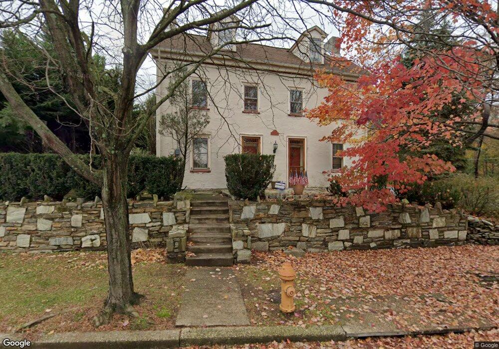
15152 Carter Rd Philadelphia, PA 19116
Somerton NeighborhoodEstimated Value: $471,297 - $589,000
3
Beds
1
Bath
2,250
Sq Ft
$236/Sq Ft
Est. Value
About This Home
This home is located at 15152 Carter Rd, Philadelphia, PA 19116 and is currently estimated at $532,074, approximately $236 per square foot. 15152 Carter Rd is a home located in Philadelphia County with nearby schools including Watson Comly School, CCA Baldi Middle School, and George Washington High School.
Ownership History
Date
Name
Owned For
Owner Type
Purchase Details
Closed on
Jun 22, 2007
Sold by
Guido Charles A and Guido Elizabeth A
Bought by
Morris Lisa M
Current Estimated Value
Home Financials for this Owner
Home Financials are based on the most recent Mortgage that was taken out on this home.
Original Mortgage
$265,900
Outstanding Balance
$162,356
Interest Rate
6.24%
Mortgage Type
Purchase Money Mortgage
Estimated Equity
$369,718
Create a Home Valuation Report for This Property
The Home Valuation Report is an in-depth analysis detailing your home's value as well as a comparison with similar homes in the area
Home Values in the Area
Average Home Value in this Area
Purchase History
| Date | Buyer | Sale Price | Title Company |
|---|---|---|---|
| Morris Lisa M | $344,100 | None Available |
Source: Public Records
Mortgage History
| Date | Status | Borrower | Loan Amount |
|---|---|---|---|
| Open | Morris Lisa M | $265,900 |
Source: Public Records
Tax History Compared to Growth
Tax History
| Year | Tax Paid | Tax Assessment Tax Assessment Total Assessment is a certain percentage of the fair market value that is determined by local assessors to be the total taxable value of land and additions on the property. | Land | Improvement |
|---|---|---|---|---|
| 2026 | $4,757 | $452,400 | $90,480 | $361,920 |
| 2025 | $4,757 | $452,400 | $90,480 | $361,920 |
| 2024 | $4,757 | $452,400 | $90,480 | $361,920 |
| 2023 | $4,757 | $339,800 | $67,960 | $271,840 |
| 2022 | $3,456 | $294,800 | $67,960 | $226,840 |
| 2021 | $4,086 | $0 | $0 | $0 |
| 2020 | $4,086 | $0 | $0 | $0 |
| 2019 | $3,912 | $0 | $0 | $0 |
| 2018 | $3,756 | $0 | $0 | $0 |
| 2017 | $3,756 | $0 | $0 | $0 |
| 2016 | $3,336 | $0 | $0 | $0 |
| 2015 | $3,193 | $0 | $0 | $0 |
| 2014 | -- | $268,300 | $183,281 | $85,019 |
| 2012 | -- | $29,408 | $10,000 | $19,408 |
Source: Public Records
Map
Nearby Homes
- 2680 Iris Ln
- 161 Graystone Dr
- 1346 Wales Place
- 2411 Paris Ave
- 193 Graystone Dr
- 15022 Dahlia Dr
- 15033 London Rd
- 15137 Ina Dr
- 15162 Wayside Rd
- 15110 Ina Dr
- 2611 Linconia Ave
- 15202 Bernita Dr
- 15014 Theresa Dr
- 15019 Worthington Rd Unit B
- 2441 Trevose Rd
- 121 Trevose Rd
- 13430 Worthington Rd
- 1216 Anna Dr
- 13027 Worthington Rd
- 2666 Madara Rd
- 15150 Carter Rd
- 15148 Carter Rd
- 15146 Carter Rd
- 15153 Milford St
- 15155 Milford St
- 15151 Milford St
- 15144 Carter Rd
- 15149 Milford St
- 15147 Milford St
- 15142 Carter Rd
- 15145 Milford St
- 15143 Milford St
- 15138 Carter Rd
- 15141 Milford St
- 15140 Carter Rd
- 15136 Carter Rd
- 15137 Milford St
- 15134 Carter Rd
- 15154 Milford St
- 15156 Milford St