1516 Carol Ct Unit 5 Jamison, PA 18929
Estimated Value: $393,000 - $429,000
3
Beds
3
Baths
1,376
Sq Ft
$301/Sq Ft
Est. Value
About This Home
This home is located at 1516 Carol Ct Unit 5, Jamison, PA 18929 and is currently estimated at $413,778, approximately $300 per square foot. 1516 Carol Ct Unit 5 is a home located in Bucks County with nearby schools including Warwick Elementary School, Holicong Middle School, and Central Bucks High School - East.
Ownership History
Date
Name
Owned For
Owner Type
Purchase Details
Closed on
Jan 27, 2016
Sold by
Hunzer Kenn A and Hunzer Kenneth A
Bought by
Connor Ian H and Connor Maryanna E
Current Estimated Value
Home Financials for this Owner
Home Financials are based on the most recent Mortgage that was taken out on this home.
Original Mortgage
$185,400
Outstanding Balance
$147,893
Interest Rate
3.97%
Mortgage Type
New Conventional
Estimated Equity
$265,885
Purchase Details
Closed on
Jun 11, 2001
Sold by
Hunzer Kenn A and Hunzer Elisa A
Bought by
Hunzer Kenn A
Purchase Details
Closed on
Mar 18, 1996
Sold by
Fpa Corp
Bought by
Hunzer Kenn A and Hunzer Eliza A
Create a Home Valuation Report for This Property
The Home Valuation Report is an in-depth analysis detailing your home's value as well as a comparison with similar homes in the area
Home Values in the Area
Average Home Value in this Area
Purchase History
| Date | Buyer | Sale Price | Title Company |
|---|---|---|---|
| Connor Ian H | $206,000 | None Available | |
| Hunzer Kenn A | -- | -- | |
| Hunzer Kenn A | $131,515 | -- |
Source: Public Records
Mortgage History
| Date | Status | Borrower | Loan Amount |
|---|---|---|---|
| Open | Connor Ian H | $185,400 |
Source: Public Records
Tax History Compared to Growth
Tax History
| Year | Tax Paid | Tax Assessment Tax Assessment Total Assessment is a certain percentage of the fair market value that is determined by local assessors to be the total taxable value of land and additions on the property. | Land | Improvement |
|---|---|---|---|---|
| 2025 | $4,456 | $25,600 | -- | $25,600 |
| 2024 | $4,456 | $25,600 | $0 | $25,600 |
| 2023 | $4,315 | $25,600 | $0 | $25,600 |
| 2022 | $4,267 | $25,600 | $0 | $25,600 |
| 2021 | $4,219 | $25,600 | $0 | $25,600 |
| 2020 | $4,219 | $25,600 | $0 | $25,600 |
| 2019 | $4,193 | $25,600 | $0 | $25,600 |
| 2018 | $4,193 | $25,600 | $0 | $25,600 |
| 2017 | $4,161 | $25,600 | $0 | $25,600 |
| 2016 | $4,161 | $25,600 | $0 | $25,600 |
| 2015 | -- | $25,600 | $0 | $25,600 |
| 2014 | -- | $25,600 | $0 | $25,600 |
Source: Public Records
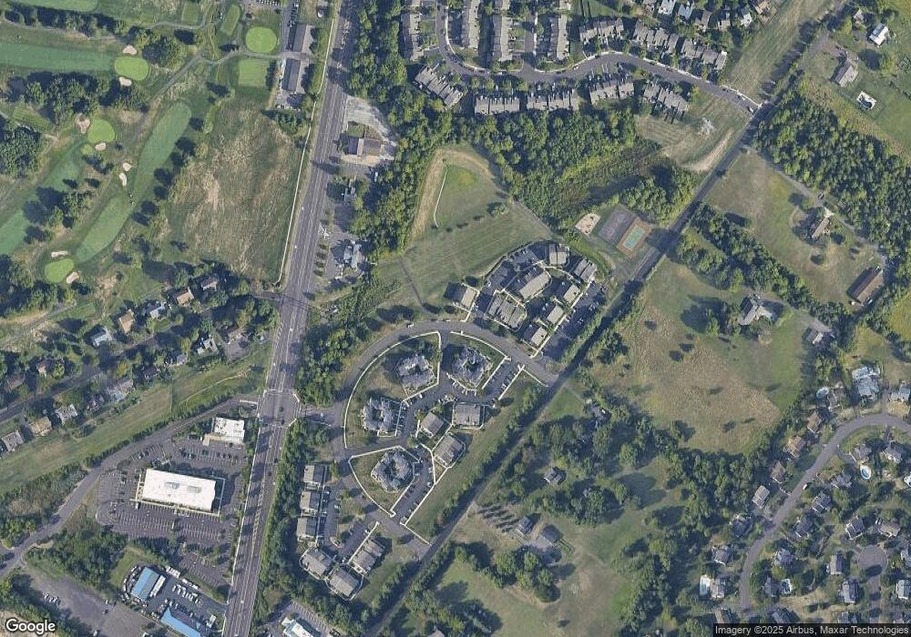
Map
Nearby Homes
- 1530 Spruce Ct
- 108 Eagle Ct Unit 105
- 2227 Sand Trap Rd
- 2127 York Rd
- 1536 Park Dr
- 2429 N Daisey Dr
- 1268 Dogwood Dr
- 1004 Marquis Ln
- Homesite 10102 Marquis Ln
- 3014 Marquis Ln
- 5005 Quartermaster Ln
- Homesite 11001 Marquis Ln
- 5011 Quartermaster Ln
- Homesite 11003 Marquis Ln
- 3020 Marquis Ln
- Homesite 10903 Marquis Ln
- 2417 April Dr
- 1515 Sugar Bottom Rd
- 1990 York Rd
- 1504 Springfield Ct Unit 37
- 1516 Carol Ct Unit 1605
- 1515 Carol Ct Unit 4
- 1515 Carol Ct Unit 1604
- 1517 Carol Ct Unit 6
- 1518 Carol Ct Unit 7
- 1518 Carol Ct Unit 1607
- 1514 Carol Ct Unit 1603
- 1519 Carol Ct Unit 8
- 1520 Carol Ct Unit 1
- 1520 Carol Ct Unit 1701
- 1513 Carol Ct Unit 2
- 1512 Carol Ct Unit 1601
- 1512 Carol Ct Unit 1
- 1521 Carol Ct Unit 2
- 1523 Carol Ct Unit 4
- 1509 Deborah Ct Unit 2
- 1509 Deborah Ct Unit 1902
- 1522 Carol Ct Unit 1703
- 1522 Carol Ct Unit 3
- 1510 Deborah Ct Unit 3