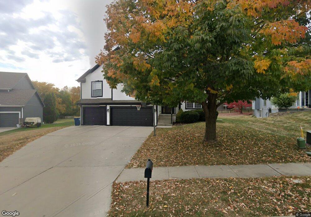
1516 Duncan Cir Liberty, MO 64068
Estimated Value: $407,281 - $495,000
4
Beds
3
Baths
2,225
Sq Ft
$201/Sq Ft
Est. Value
About This Home
This home is located at 1516 Duncan Cir, Liberty, MO 64068 and is currently estimated at $446,820, approximately $200 per square foot. 1516 Duncan Cir is a home located in Clay County with nearby schools including Ridgeview Elementary School, Heritage Middle School, and Liberty North High School.
Ownership History
Date
Name
Owned For
Owner Type
Purchase Details
Closed on
Jan 31, 2008
Sold by
Robertson Construction Llc
Bought by
Theoharidis Dimitrios and Theoharidis Andria
Current Estimated Value
Home Financials for this Owner
Home Financials are based on the most recent Mortgage that was taken out on this home.
Original Mortgage
$239,900
Outstanding Balance
$149,283
Interest Rate
6.15%
Mortgage Type
Purchase Money Mortgage
Estimated Equity
$297,537
Create a Home Valuation Report for This Property
The Home Valuation Report is an in-depth analysis detailing your home's value as well as a comparison with similar homes in the area
Home Values in the Area
Average Home Value in this Area
Purchase History
| Date | Buyer | Sale Price | Title Company |
|---|---|---|---|
| Theoharidis Dimitrios | -- | None Available |
Source: Public Records
Mortgage History
| Date | Status | Borrower | Loan Amount |
|---|---|---|---|
| Open | Theoharidis Dimitrios | $239,900 |
Source: Public Records
Tax History
| Year | Tax Paid | Tax Assessment Tax Assessment Total Assessment is a certain percentage of the fair market value that is determined by local assessors to be the total taxable value of land and additions on the property. | Land | Improvement |
|---|---|---|---|---|
| 2025 | $4,215 | $59,980 | -- | -- |
| 2024 | $4,215 | $54,800 | -- | -- |
| 2023 | $4,286 | $54,800 | $0 | $0 |
| 2022 | $3,821 | $48,240 | $0 | $0 |
| 2021 | $3,792 | $48,241 | $7,220 | $41,021 |
| 2020 | $3,682 | $43,990 | $0 | $0 |
| 2019 | $3,681 | $43,985 | $6,650 | $37,335 |
Source: Public Records
Map
Nearby Homes
- 1303 Telford Dr
- 0 Rush Creek Pkwy
- 960 Ellis St
- 907 N Forest Ln
- 1014 N Forest Ln
- 1007 Wyckwood Dr
- 619 N Gallatin St
- 1963 Harvest Rd
- 1513 Lake Rd
- 316 E Doniphan St
- 440 N Grover St
- 425 Maple St
- 439 Grover St
- 427 N Fairview Ave
- 1310 N Forest Ln
- 402 N Leonard St
- 320 N Fairview Ave
- 1422 La Chateau Dr
- 506 Kings Ridge
- 330 Lakeside Dr
- 1512 Duncan Cir
- 1513 Northpoint N A
- 1513 Northpoint Ave
- 1526 Duncan Cir
- 321 Duncan Dr
- 1508 Duncan Cir
- 1509 Duncan Cir
- 1515 Duncan Cir
- 1505 Northpoint Ave
- 317 Duncan Dr
- 413 Duncan Dr
- 324 Deer Dr
- 328 Deer Dr
- 313 Duncan Dr
- 417 Duncan Dr
- 320 Deer Dr
- 1504 Northpoint Ave
- 1521 Northpoint Ave
- 404 Duncan Dr
- 408 Duncan Dr
Your Personal Tour Guide
Ask me questions while you tour the home.