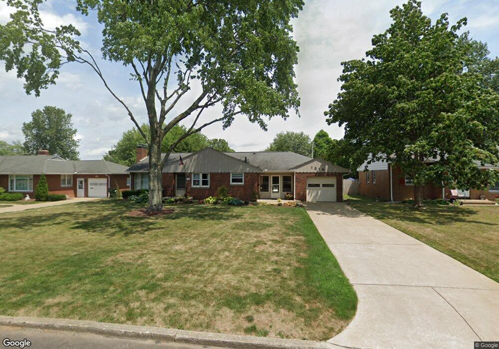
1516 Lilly Ln Alliance, OH 44601
Estimated Value: $161,000 - $188,000
3
Beds
2
Baths
1,247
Sq Ft
$140/Sq Ft
Est. Value
About This Home
This home is located at 1516 Lilly Ln, Alliance, OH 44601 and is currently estimated at $174,356, approximately $139 per square foot. 1516 Lilly Ln is a home located in Stark County with nearby schools including Alliance Early Learning School, Alliance Intermediate School at Northside, and Alliance Middle School.
Ownership History
Date
Name
Owned For
Owner Type
Purchase Details
Closed on
Jul 7, 1999
Sold by
Thomas Christine M
Bought by
Hochstetler Nathan D and Hochstetler Rachel M
Current Estimated Value
Home Financials for this Owner
Home Financials are based on the most recent Mortgage that was taken out on this home.
Original Mortgage
$85,500
Outstanding Balance
$23,912
Interest Rate
7.54%
Mortgage Type
Purchase Money Mortgage
Estimated Equity
$150,444
Purchase Details
Closed on
Mar 8, 1989
Create a Home Valuation Report for This Property
The Home Valuation Report is an in-depth analysis detailing your home's value as well as a comparison with similar homes in the area
Home Values in the Area
Average Home Value in this Area
Purchase History
| Date | Buyer | Sale Price | Title Company |
|---|---|---|---|
| Hochstetler Nathan D | $90,000 | -- | |
| -- | $71,000 | -- |
Source: Public Records
Mortgage History
| Date | Status | Borrower | Loan Amount |
|---|---|---|---|
| Open | Hochstetler Nathan D | $85,500 |
Source: Public Records
Tax History
| Year | Tax Paid | Tax Assessment Tax Assessment Total Assessment is a certain percentage of the fair market value that is determined by local assessors to be the total taxable value of land and additions on the property. | Land | Improvement |
|---|---|---|---|---|
| 2025 | -- | $46,550 | $14,210 | $32,340 |
| 2024 | -- | $46,550 | $14,210 | $32,340 |
| 2023 | $1,747 | $43,480 | $11,240 | $32,240 |
| 2022 | $879 | $43,480 | $11,240 | $32,240 |
| 2021 | $1,760 | $43,480 | $11,240 | $32,240 |
| 2020 | $1,642 | $37,810 | $9,770 | $28,040 |
| 2019 | $1,619 | $37,810 | $9,770 | $28,040 |
| 2018 | $1,623 | $37,810 | $9,770 | $28,040 |
| 2017 | $1,581 | $36,230 | $7,560 | $28,670 |
| 2016 | $1,540 | $35,000 | $7,560 | $27,440 |
| 2015 | $1,553 | $35,000 | $7,560 | $27,440 |
| 2014 | $1,532 | $32,870 | $7,110 | $25,760 |
| 2013 | $764 | $32,870 | $7,110 | $25,760 |
Source: Public Records
Map
Nearby Homes
- 1534 Fernwood Blvd
- 1718 Fernwood Blvd
- 1310 Overlook Dr
- 1156 Parkside Dr
- 1016 Roseland Rd
- 1539 Parkway Blvd
- 864 W College Rd
- 1114 Briarcliff Ave
- 1601 Raywood Rd
- 720 Vincent Blvd
- 0 Federal Ave
- 1044 Glamorgan St
- 2120 Blenheim Ave
- 1235 Spring Ridge Cir Unit 17A
- 664 Fairview Place
- 2580 Edgewood Ave
- 2630 Blenheim Ave
- 2635 Blenheim Ave
- 203 Glamorgan St
- 2625 Belleflower Dr
- 1524 Lilly Ln
- 1499 Fairview Place
- 1490 Lilly Ln
- 1540 Lilly Ln
- 1511 Fairview Place
- 1495 Fairview Place
- 1517 Lilly Ln
- 1537 Fairview Place
- 1499 Lilly Ln
- 1525 Lilly Ln
- 1491 Fairview Place
- 1486 Lilly Ln
- 1556 Lilly Ln
- 1493 Lilly Ln
- 1541 Lilly Ln
- 1549 Fairview Place
- 1485 Fairview Place
- 1487 Lilly Ln
- 1472 Lilly Ln
- 1580 Lilly Ln
Your Personal Tour Guide
Ask me questions while you tour the home.