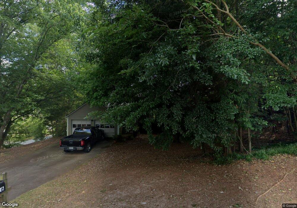
1516 River Rock Trace Unit 3 Woodstock, GA 30188
Union Hill NeighborhoodEstimated Value: $359,457 - $366,000
3
Beds
2
Baths
1,396
Sq Ft
$260/Sq Ft
Est. Value
About This Home
This home is located at 1516 River Rock Trace Unit 3, Woodstock, GA 30188 and is currently estimated at $362,729, approximately $259 per square foot. 1516 River Rock Trace Unit 3 is a home located in Cherokee County with nearby schools including Arnold Mill Elementary School, Mill Creek Middle School, and River Ridge High School.
Ownership History
Date
Name
Owned For
Owner Type
Purchase Details
Closed on
Jul 13, 2000
Sold by
Powell Wilburn
Bought by
Correll Allen W
Current Estimated Value
Home Financials for this Owner
Home Financials are based on the most recent Mortgage that was taken out on this home.
Original Mortgage
$118,919
Outstanding Balance
$42,162
Interest Rate
8.3%
Mortgage Type
FHA
Estimated Equity
$320,567
Purchase Details
Closed on
Jun 29, 1999
Sold by
Coleman Gary A and Coleman Leslie L
Bought by
Powell Cheryl A and Powell Wilburn
Home Financials for this Owner
Home Financials are based on the most recent Mortgage that was taken out on this home.
Original Mortgage
$109,933
Interest Rate
7.27%
Mortgage Type
FHA
Create a Home Valuation Report for This Property
The Home Valuation Report is an in-depth analysis detailing your home's value as well as a comparison with similar homes in the area
Home Values in the Area
Average Home Value in this Area
Purchase History
| Date | Buyer | Sale Price | Title Company |
|---|---|---|---|
| Correll Allen W | $119,900 | -- | |
| Powell Cheryl A | $110,900 | -- |
Source: Public Records
Mortgage History
| Date | Status | Borrower | Loan Amount |
|---|---|---|---|
| Open | Correll Allen W | $118,919 | |
| Previous Owner | Powell Cheryl A | $109,933 |
Source: Public Records
Tax History Compared to Growth
Tax History
| Year | Tax Paid | Tax Assessment Tax Assessment Total Assessment is a certain percentage of the fair market value that is determined by local assessors to be the total taxable value of land and additions on the property. | Land | Improvement |
|---|---|---|---|---|
| 2025 | $2,965 | $124,456 | $32,000 | $92,456 |
| 2024 | $2,788 | $116,096 | $30,400 | $85,696 |
| 2023 | $2,320 | $114,496 | $28,800 | $85,696 |
| 2022 | $2,596 | $105,536 | $23,600 | $81,936 |
| 2021 | $2,316 | $81,576 | $18,000 | $63,576 |
| 2020 | $2,033 | $71,536 | $14,000 | $57,536 |
| 2019 | $1,902 | $66,920 | $14,000 | $52,920 |
| 2018 | $1,718 | $60,080 | $14,000 | $46,080 |
| 2017 | $1,655 | $143,600 | $14,000 | $43,440 |
| 2016 | $1,498 | $128,600 | $12,400 | $39,040 |
| 2015 | $1,444 | $122,800 | $12,400 | $36,720 |
| 2014 | $1,316 | $111,700 | $11,600 | $33,080 |
Source: Public Records
Map
Nearby Homes
- 636 Arnold Mill Rd
- 632 Arnold Mill Rd
- 624 Arnold Mill Rd
- 522 Watercress Dr
- 321 Burdock Trace
- 809 Araya Ct
- 236 Persimmon Dr
- 154 Towey Trail
- 585 Arnold Mill Rd
- 4006 N Arnold Mill Rd
- 114 Neetle Close Dr
- 116 Neetle Close Dr
- 4020 N Arnold Mill Rd
- 124 Riverside Ln
- Dahlonega Elite Plan at Vista Ridge - The Meadows Collection
- Chatuge Plan at Vista Ridge - The Meadows Collection
- Allatoona Plan at Vista Ridge - The Meadows Collection
- Allatoona Elite Plan at Vista Ridge - The Meadows Collection
- Barnsley Plan at Vista Ridge - The Meadows Collection
- 130 Mooney Rd
- 1514 River Rock Trace Unit 3
- 837 Riverstone Ln Unit 2
- 846 Riverstone Ln
- 1517 River Rock Trace Unit 3
- 1515 River Rock Trace
- 835 Riverstone Ln
- 1512 River Rock Trace
- 844 Riverstone Ln Unit 2
- 1519 River Rock Trace
- 1513 River Rock Trace Unit 3
- 1520 River Rock Trace
- 842 Riverstone Ln
- 0 River Rock Trace Unit 7601289
- 0 River Rock Trace
- 1510 River Rock Trace
- 833 Riverstone Ln Unit 2
- 843 Riverstone Ln
- 1511 River Rock Trace Unit 3
- 850 Riverstone Ln
- 840 Riverstone Ln