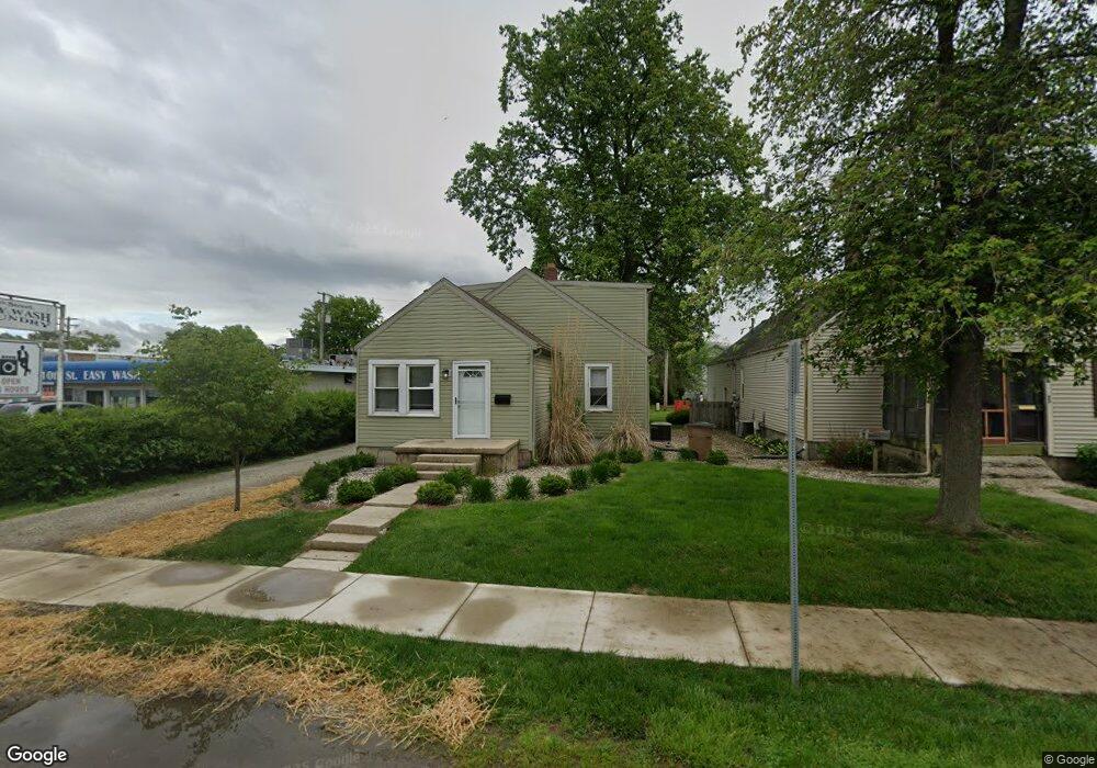
1517 10th St Charleston, IL 61920
Estimated Value: $93,000 - $418,263
3
Beds
1
Bath
1,458
Sq Ft
$121/Sq Ft
Est. Value
About This Home
This home is located at 1517 10th St, Charleston, IL 61920 and is currently estimated at $176,316, approximately $120 per square foot. 1517 10th St is a home located in Coles County with nearby schools including Charleston High School and Charleston Christian Academy.
Ownership History
Date
Name
Owned For
Owner Type
Purchase Details
Closed on
Jan 30, 2009
Sold by
Sidwell Eli R and Sidwell Laura Ann
Bought by
Bowers Darin
Current Estimated Value
Home Financials for this Owner
Home Financials are based on the most recent Mortgage that was taken out on this home.
Original Mortgage
$72,000
Interest Rate
4.08%
Mortgage Type
New Conventional
Create a Home Valuation Report for This Property
The Home Valuation Report is an in-depth analysis detailing your home's value as well as a comparison with similar homes in the area
Home Values in the Area
Average Home Value in this Area
Purchase History
| Date | Buyer | Sale Price | Title Company |
|---|---|---|---|
| Bowers Darin | $190,000 | None Available |
Source: Public Records
Mortgage History
| Date | Status | Borrower | Loan Amount |
|---|---|---|---|
| Previous Owner | Bowers Darin | $72,000 |
Source: Public Records
Tax History Compared to Growth
Tax History
| Year | Tax Paid | Tax Assessment Tax Assessment Total Assessment is a certain percentage of the fair market value that is determined by local assessors to be the total taxable value of land and additions on the property. | Land | Improvement |
|---|---|---|---|---|
| 2024 | $1,500 | $19,335 | $4,060 | $15,275 |
| 2023 | $1,478 | $17,658 | $3,708 | $13,950 |
| 2022 | $1,481 | $17,367 | $3,647 | $13,720 |
| 2021 | $1,525 | $16,667 | $3,500 | $13,167 |
| 2020 | $1,552 | $17,269 | $3,489 | $13,780 |
| 2019 | $1,945 | $21,230 | $3,367 | $17,863 |
| 2018 | $1,924 | $21,230 | $3,367 | $17,863 |
| 2017 | $1,899 | $21,230 | $3,367 | $17,863 |
| 2016 | $1,579 | $17,802 | $3,367 | $14,435 |
| 2015 | $1,630 | $17,802 | $3,367 | $14,435 |
| 2014 | $1,630 | $17,802 | $3,367 | $14,435 |
| 2013 | $1,630 | $17,802 | $3,367 | $14,435 |
Source: Public Records
Map
Nearby Homes
- 1125 6th St
- 1103 & 1105 6th St
- 1011 6th St
- 6 Brosam Dr
- 9 Brosam Dr
- 124 Polk Ave
- 943 2nd St
- 1528 Division St
- 1520 Harrison Ave
- 9 Orchard Dr
- 926 Division St
- 950 Edgar Dr Unit 4
- 29 Miller Ave
- Lot 28 Tanglewood Dr
- Lot 35 Tanglewood Dr
- 1016 Hawthorne Dr
- 27 Heather Dr
- 942 E St
- Lot 41 Hawthorne Dr
- Lot 43 Hawthorne Dr