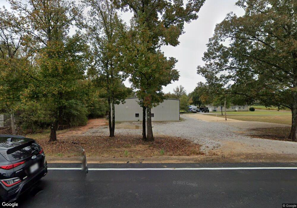
1517 Highway 30 W Myrtle, MI 38650
Estimated Value: $138,767 - $212,000
3
Beds
2
Baths
1,296
Sq Ft
$135/Sq Ft
Est. Value
About This Home
This home is located at 1517 Highway 30 W, Myrtle, MI 38650 and is currently estimated at $175,192, approximately $135 per square foot. 1517 Highway 30 W is a home located in Union County with nearby schools including West Union Attendance Center.
Ownership History
Date
Name
Owned For
Owner Type
Purchase Details
Closed on
Dec 15, 2016
Sold by
Housing And Urban Development
Bought by
Orman Scotty and Orman Angela
Current Estimated Value
Home Financials for this Owner
Home Financials are based on the most recent Mortgage that was taken out on this home.
Original Mortgage
$81,684
Interest Rate
3.94%
Mortgage Type
New Conventional
Purchase Details
Closed on
Nov 10, 2010
Sold by
Stanford Gary L and Maxey Scottie
Bought by
Maxey Scottie W and Maxey Heather
Create a Home Valuation Report for This Property
The Home Valuation Report is an in-depth analysis detailing your home's value as well as a comparison with similar homes in the area
Home Values in the Area
Average Home Value in this Area
Purchase History
| Date | Buyer | Sale Price | Title Company |
|---|---|---|---|
| Orman Scotty | -- | -- | |
| Maxey Scottie W | -- | -- |
Source: Public Records
Mortgage History
| Date | Status | Borrower | Loan Amount |
|---|---|---|---|
| Closed | Orman Scotty | $81,684 |
Source: Public Records
Tax History Compared to Growth
Tax History
| Year | Tax Paid | Tax Assessment Tax Assessment Total Assessment is a certain percentage of the fair market value that is determined by local assessors to be the total taxable value of land and additions on the property. | Land | Improvement |
|---|---|---|---|---|
| 2025 | $1,288 | $11,508 | $0 | $0 |
| 2024 | $1,325 | $11,973 | $0 | $0 |
| 2023 | $1,257 | $11,973 | $0 | $0 |
| 2022 | $1,139 | $9,797 | $0 | $0 |
| 2021 | $1,139 | $9,797 | $0 | $0 |
| 2020 | $1,139 | $9,797 | $0 | $0 |
| 2019 | $1,136 | $9,779 | $0 | $0 |
| 2018 | $1,105 | $9,510 | $0 | $0 |
| 2017 | $1,105 | $9,510 | $0 | $0 |
| 2016 | $720 | $6,340 | $0 | $0 |
| 2015 | -- | $6,340 | $0 | $0 |
| 2014 | -- | $5,919 | $0 | $0 |
Source: Public Records
Map
Nearby Homes
- 0 County Road 39
- 1534 County Road 515
- 0 Lynnlee Ln Unit 24-4389
- 0 8 96 Acres Cr 59
- 0 6 38 Acres Cr 59
- 0 4 85 Acres Cr 59
- 1656 Mississippi 355
- 1072 Mississippi 349
- TBD County Road 47
- 0 Hwy 349 Unit 25-1934
- 1268 County Road 59
- 1078 Mississippi 30
- 1194 Cr 87
- 4364 Brooke Dr
- 808 County Road 54
- 1202 Martintown Rd
- Tract 2 Cr 54
- Tract 3 Cr 54
- 1255 County Road 88
- 0 County Road 87
- 1517 State Road 30 W
- 1515 Hwy 30 W
- 1509 State Road 30 W
- 1514 State Road 30 W
- 1507 State Road 30 W Unit 2
- 1507 State Road 30 W Unit L1
- 1503 State Road 30 W Unit L1
- 1174 County Road 515
- 1530 State Road 30 W
- 1532 State Road 30 W
- 1178 County Road 515
- 1498 State Road 30 W
- 1181 County Road 515
- 1180 Cr 515
- 1029 County Road 322
- 1538 State Road 30 W
- 1132 County Road 515
- 1492 State Road 30 W
- 1487 State Road 30 W
- 1487 State Road 30 W