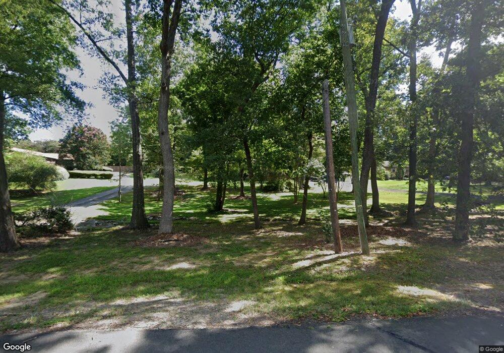
1517 Marly Dr Durham, NC 27703
Bethesda NeighborhoodEstimated Value: $302,999 - $339,000
3
Beds
2
Baths
1,000
Sq Ft
$320/Sq Ft
Est. Value
About This Home
This home is located at 1517 Marly Dr, Durham, NC 27703 and is currently estimated at $320,250, approximately $320 per square foot. 1517 Marly Dr is a home located in Durham County with nearby schools including Bethesda Elementary School, John W Neal Middle School, and Southern School of Energy & Sustainability.
Ownership History
Date
Name
Owned For
Owner Type
Purchase Details
Closed on
Nov 11, 2011
Sold by
Gessner Margaret F
Bought by
Mccray Ronald N
Current Estimated Value
Home Financials for this Owner
Home Financials are based on the most recent Mortgage that was taken out on this home.
Original Mortgage
$113,000
Outstanding Balance
$77,315
Interest Rate
4.09%
Mortgage Type
VA
Estimated Equity
$242,935
Create a Home Valuation Report for This Property
The Home Valuation Report is an in-depth analysis detailing your home's value as well as a comparison with similar homes in the area
Home Values in the Area
Average Home Value in this Area
Purchase History
| Date | Buyer | Sale Price | Title Company |
|---|---|---|---|
| Mccray Ronald N | $117,000 | None Available |
Source: Public Records
Mortgage History
| Date | Status | Borrower | Loan Amount |
|---|---|---|---|
| Open | Mccray Ronald N | $113,000 |
Source: Public Records
Tax History Compared to Growth
Tax History
| Year | Tax Paid | Tax Assessment Tax Assessment Total Assessment is a certain percentage of the fair market value that is determined by local assessors to be the total taxable value of land and additions on the property. | Land | Improvement |
|---|---|---|---|---|
| 2025 | $2,039 | $321,559 | $158,375 | $163,184 |
| 2024 | $1,180 | $145,239 | $36,100 | $109,139 |
| 2023 | $1,133 | $145,239 | $36,100 | $109,139 |
| 2022 | $1,092 | $145,239 | $36,100 | $109,139 |
| 2021 | $1,274 | $145,239 | $36,100 | $109,139 |
| 2020 | $1,245 | $145,239 | $36,100 | $109,139 |
| 2019 | $1,230 | $145,239 | $36,100 | $109,139 |
| 2018 | $1,043 | $112,979 | $36,100 | $76,879 |
| 2017 | $1,009 | $112,979 | $36,100 | $76,879 |
| 2016 | $978 | $112,979 | $36,100 | $76,879 |
| 2015 | $1,205 | $115,475 | $23,998 | $91,477 |
| 2014 | $1,211 | $115,475 | $23,998 | $91,477 |
Source: Public Records
Map
Nearby Homes
- 3857 Angier Ave
- 1007 Depot Dr
- 1821 S Mineral Springs Rd
- 3112 Ranger Dr
- Dylan Plan at Mica Ridge - Venture Collection
- Nelson Plan at Mica Ridge - Sterling Collection
- Sutton Plan at Mica Ridge - Venture Collection
- Somerset III Plan at Mica Ridge - Sterling Collection
- Winstead III Plan at Mica Ridge - Sterling Collection
- Mitchell II Plan at Mica Ridge - Club Collection
- 2221 Mica Ridge Ln
- 2217 Mica Ridge Ln
- 3201 Gypsum Dr
- 2215 Mica Ridge Ln
- 3205 Gypsum Dr
- 2207 Mica Ridge Ln
- 2205 Mica Ridge Ln
- 3207 Gypsum Dr
- 2213 Mica Ridge Ln
- 2203 Mica Ridge Ln
