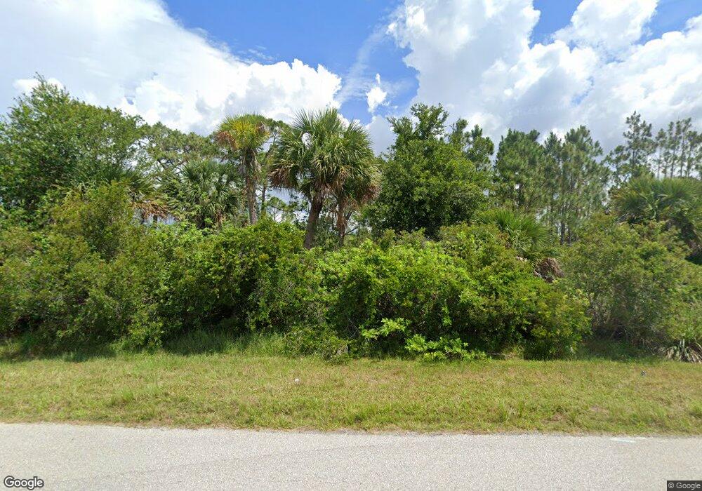
1517 Mchugh St Port Charlotte, FL 33953
Northwest Port Charlotte NeighborhoodEstimated Value: $167,000 - $215,000
--
Bed
--
Bath
--
Sq Ft
2.5
Acres
About This Home
This home is located at 1517 Mchugh St, Port Charlotte, FL 33953 and is currently estimated at $188,737. 1517 Mchugh St is a home located in Charlotte County with nearby schools including Liberty Elementary School, Murdock Middle School, and Port Charlotte High School.
Ownership History
Date
Name
Owned For
Owner Type
Purchase Details
Closed on
Feb 19, 2016
Sold by
Hoop King Llc
Bought by
Johnson Matthew J
Current Estimated Value
Purchase Details
Closed on
Aug 10, 2015
Sold by
Fifth Third Bank
Bought by
Hoop King Llc
Purchase Details
Closed on
Feb 21, 2014
Sold by
Vensu Usa Llc
Bought by
Fifth Third Bank
Purchase Details
Closed on
Nov 16, 2012
Sold by
Francis Paulette and Fifth Third Bank
Bought by
Fifth Third Mortgage Company
Purchase Details
Closed on
Feb 23, 2012
Sold by
Faruq Serena Anne and Jahan Naiyer
Bought by
Faruq Serena Anne
Create a Home Valuation Report for This Property
The Home Valuation Report is an in-depth analysis detailing your home's value as well as a comparison with similar homes in the area
Home Values in the Area
Average Home Value in this Area
Purchase History
| Date | Buyer | Sale Price | Title Company |
|---|---|---|---|
| Johnson Matthew J | $100,000 | Attorney | |
| Hoop King Llc | $55,000 | Servicelink Llc | |
| Fifth Third Bank | -- | Attorney | |
| Fifth Third Mortgage Company | $80,100 | None Available | |
| Faruq Serena Anne | -- | None Available |
Source: Public Records
Tax History Compared to Growth
Tax History
| Year | Tax Paid | Tax Assessment Tax Assessment Total Assessment is a certain percentage of the fair market value that is determined by local assessors to be the total taxable value of land and additions on the property. | Land | Improvement |
|---|---|---|---|---|
| 2023 | $4,179 | $102,671 | $0 | $0 |
| 2022 | $3,949 | $106,250 | $106,250 | $0 |
| 2021 | $3,814 | $89,250 | $89,250 | $0 |
| 2020 | $3,738 | $89,250 | $89,250 | $0 |
| 2019 | $3,593 | $76,500 | $76,500 | $0 |
| 2018 | $3,387 | $63,750 | $63,750 | $0 |
| 2017 | $3,400 | $63,750 | $63,750 | $0 |
| 2016 | $3,419 | $63,750 | $0 | $0 |
| 2015 | $6,330 | $233,750 | $0 | $0 |
| 2014 | $5,058 | $206,125 | $0 | $0 |
Source: Public Records
Map
Nearby Homes
- 2023 Sandia St
- 13396 Sheppard Ave
- 2105 Proude St
- 2097 Proude St
- 1476 Moree St Unit 4
- 1476 Moree St
- 1500 Moree St Unit 7
- 2074 Sandia St
- 1509 Mc Hugh St
- 1510 Carswell St
- 2089 Sandia St
- 1491 Bullene St
- 1520 Carswell St
- 1468 Bullene St
- 13264 Creekside Ln
- 1467 & 1475 Bullene St
- 13256 Creekside Ln
- 13460 Tolman Ave
- 13449 Palau Cir
- 13475 Sheppard Ave
- 2015 Sandia St
- 2018 Sandia St
- 13329 Eleanor Ave
- 2026 Sandia St
- 13385 Eleanor Ave
- 1497 Mchugh St
- 2031 Sandia St
- 2034 Sandia St
- 13311 Eleanor Ave
- 13386 Howard Ave
- 1483 Mchugh St
- 2009, 2019 & 2027 Penrose St
- 2009, 2019, 2027 & 2 Penrose St
- 2039 Sandia St
- 2047 Sandia St
- 2055 Sandia St
- 2050 Sandia St
- 13162 Eleanor Ave
- 13385 Howard Ave
- 2058 Sandia St