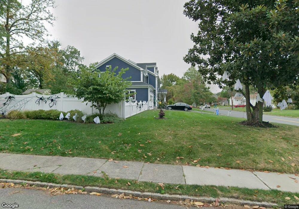
1517 Rahway Ave Westfield, NJ 07090
Estimated Value: $1,771,000 - $2,065,198
--
Bed
--
Bath
4,363
Sq Ft
$444/Sq Ft
Est. Value
About This Home
This home is located at 1517 Rahway Ave, Westfield, NJ 07090 and is currently estimated at $1,935,800, approximately $443 per square foot. 1517 Rahway Ave is a home located in Union County with nearby schools including Jefferson Elementary School, Westfield Senior High School, and Featherbed Lane School of Clark.
Ownership History
Date
Name
Owned For
Owner Type
Purchase Details
Closed on
Dec 14, 2016
Sold by
Michael Mahoney Llc
Bought by
Smith Andrew and Flanders Susanne
Current Estimated Value
Home Financials for this Owner
Home Financials are based on the most recent Mortgage that was taken out on this home.
Original Mortgage
$1,000,000
Outstanding Balance
$806,983
Interest Rate
3.5%
Mortgage Type
Adjustable Rate Mortgage/ARM
Estimated Equity
$1,128,817
Purchase Details
Closed on
Nov 5, 2015
Sold by
Janner Carol R
Bought by
Michael Mahoney Llc
Purchase Details
Closed on
Feb 5, 2015
Sold by
Janner Carol R
Bought by
Janner Carol R
Purchase Details
Closed on
May 16, 2006
Sold by
Crawford Wanda K
Bought by
Janner Carol R
Purchase Details
Closed on
Dec 23, 1998
Sold by
Crawford Wanda K
Bought by
Crawford Wanda K and Janner Carol R
Create a Home Valuation Report for This Property
The Home Valuation Report is an in-depth analysis detailing your home's value as well as a comparison with similar homes in the area
Home Values in the Area
Average Home Value in this Area
Purchase History
| Date | Buyer | Sale Price | Title Company |
|---|---|---|---|
| Smith Andrew | $1,350,000 | -- | |
| Michael Mahoney Llc | $550,000 | -- | |
| Janner Carol R | -- | None Available | |
| Janner Carol R | -- | -- | |
| Crawford Wanda K | -- | -- |
Source: Public Records
Mortgage History
| Date | Status | Borrower | Loan Amount |
|---|---|---|---|
| Open | Smith Andrew | $1,000,000 |
Source: Public Records
Tax History Compared to Growth
Tax History
| Year | Tax Paid | Tax Assessment Tax Assessment Total Assessment is a certain percentage of the fair market value that is determined by local assessors to be the total taxable value of land and additions on the property. | Land | Improvement |
|---|---|---|---|---|
| 2025 | $28,373 | $1,259,900 | $450,000 | $809,900 |
| 2024 | $27,793 | $1,259,900 | $450,000 | $809,900 |
| 2023 | $27,793 | $1,259,900 | $450,000 | $809,900 |
| 2022 | $27,214 | $1,259,900 | $450,000 | $809,900 |
| 2021 | $27,252 | $1,259,900 | $450,000 | $809,900 |
| 2020 | $27,189 | $1,259,900 | $450,000 | $809,900 |
| 2019 | $27,088 | $1,259,900 | $450,000 | $809,900 |
| 2018 | $28,802 | $309,800 | $87,300 | $222,500 |
| 2017 | $8,072 | $87,300 | $87,300 | $0 |
| 2016 | $10,365 | $114,800 | $87,300 | $27,500 |
| 2015 | $10,159 | $114,800 | $87,300 | $27,500 |
| 2014 | $9,823 | $114,800 | $87,300 | $27,500 |
Source: Public Records
Map
Nearby Homes
- 631 Kensington Dr
- 18 Summit Ct
- 1283 Rahway Ave
- 26 Manchester Dr
- 2 Byron Ct
- 38 Yarmouth Ct Unit Y38
- 17 Garside Place
- 1016 Tice Place
- 1779 Dakota St
- 16 Manchester Dr
- 118 Cambridge Rd
- 116 Cedar St
- 106 Virginia St
- 5 Picton St
- 1008 Boulevard
- 64 Ruddy Place
- 800 Raritan Rd
- 44 Maddaket Unit 44
- 44 Maddaket Ct
- 23 Burnham Ct