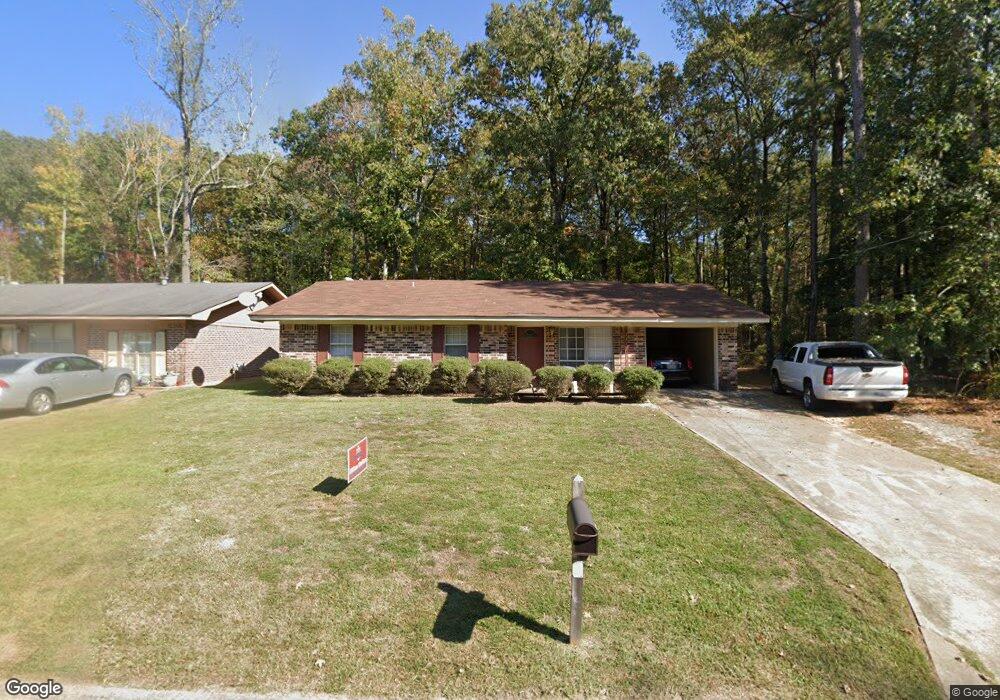
1517 Robin St Ruston, LA 71270
Estimated Value: $98,000 - $142,338
Studio
--
Bath
1,179
Sq Ft
$105/Sq Ft
Est. Value
About This Home
This home is located at 1517 Robin St, Ruston, LA 71270 and is currently estimated at $123,335, approximately $104 per square foot. 1517 Robin St is a home located in Lincoln Parish with nearby schools including Ruston Elementary School, Hillcrest Elementary School, and Ruston Junior High School.
Ownership History
Date
Name
Owned For
Owner Type
Purchase Details
Closed on
Apr 3, 2007
Sold by
Lyons Michael Allyn
Bought by
Lyons Manning Jr Ozzie and Lyons Manning Connie
Current Estimated Value
Home Financials for this Owner
Home Financials are based on the most recent Mortgage that was taken out on this home.
Original Mortgage
$25,376
Outstanding Balance
$15,086
Interest Rate
6.3%
Mortgage Type
Purchase Money Mortgage
Estimated Equity
$108,249
Create a Home Valuation Report for This Property
The Home Valuation Report is an in-depth analysis detailing your home's value as well as a comparison with similar homes in the area
Purchase History
| Date | Buyer | Sale Price | Title Company |
|---|---|---|---|
| Lyons Manning Jr Ozzie | $24,000 | None Available |
Source: Public Records
Mortgage History
| Date | Status | Borrower | Loan Amount |
|---|---|---|---|
| Open | Lyons Manning Jr Ozzie | $25,376 |
Source: Public Records
Tax History
| Year | Tax Paid | Tax Assessment Tax Assessment Total Assessment is a certain percentage of the fair market value that is determined by local assessors to be the total taxable value of land and additions on the property. | Land | Improvement |
|---|---|---|---|---|
| 2025 | $704 | $8,248 | $315 | $7,933 |
| 2024 | $704 | $8,248 | $315 | $7,933 |
| 2023 | $733 | $8,248 | $315 | $7,933 |
| 2022 | $737 | $8,248 | $315 | $7,933 |
| 2021 | $682 | $8,248 | $315 | $7,933 |
| 2020 | $647 | $7,788 | $360 | $7,428 |
| 2019 | $632 | $7,788 | $360 | $7,428 |
| 2018 | $615 | $7,788 | $360 | $7,428 |
| 2017 | $617 | $7,788 | $360 | $7,428 |
| 2016 | $614 | $0 | $0 | $0 |
| 2015 | $553 | $6,443 | $360 | $6,083 |
| 2013 | $562 | $6,443 | $360 | $6,083 |
Source: Public Records
Map
Nearby Homes
- 1304 Lewis St
- 145 Clearwater Cir
- 08 Moores Dairy Rd
- 14 Moores Dairy Rd
- 10 Moores Dairy Rd
- 09 Moores Dairy Rd
- 16 Moores Dairy Rd
- 12 Moores Dairy Rd
- 11 Moores Dairy Rd
- 124 Baywood Ln
- 121 Clearwater Cir
- 900 Cornell Ave
- 141 Clearwater Cir
- 160 Baywood Ln
- 911 S Farmerville St
- 2039 Moores Dairy Rd
- 1401 Eastland Ave
- 000 Eastland Ave
- 509 2nd Ave
- 102 Calvin Ave Unit 707 S Farmerville St
- 1515 Robin St
- 1513 Robin St
- 1516 Robin St
- 1514 Robin St
- 1512 Robin St
- 1334 Martin Loop
- 1334 Martin Loop
- 1508 Robin St
- 1507 Robin St
- 1332 Martin Loop
- 1506 Robin St
- 1505 Robin St
- 1504 Cardinal St
- 1504 Robin St
- 1503 Robin St
- 1502 Cardinal St
- 1313 Martin Loop
- 1502 Robin St
- 1505 Cardinal St
- 1501 Robin St
Your Personal Tour Guide
Ask me questions while you tour the home.