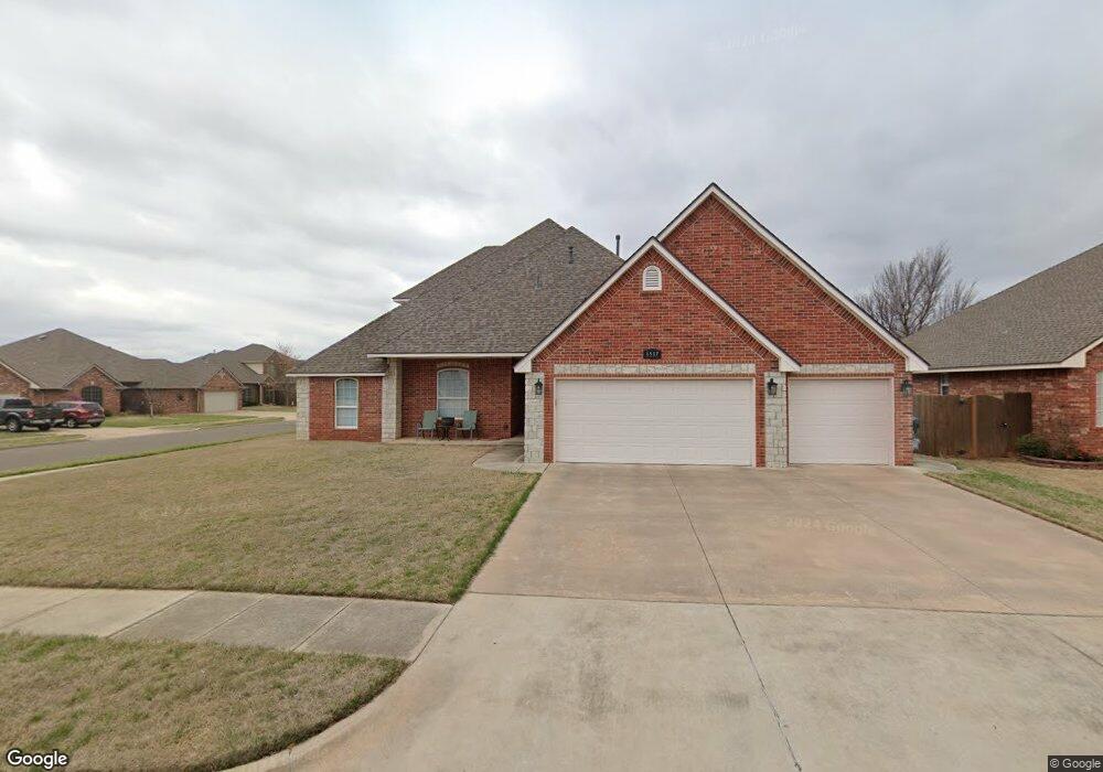
1517 Shrill Ct Norman, OK 73071
Northeast Norman NeighborhoodEstimated Value: $359,000 - $402,000
4
Beds
3
Baths
2,673
Sq Ft
$139/Sq Ft
Est. Value
About This Home
This home is located at 1517 Shrill Ct, Norman, OK 73071 and is currently estimated at $371,540, approximately $138 per square foot. 1517 Shrill Ct is a home located in Cleveland County with nearby schools including Jefferson Elementary School, Longfellow Middle School, and Norman North High School.
Ownership History
Date
Name
Owned For
Owner Type
Purchase Details
Closed on
Oct 31, 2008
Sold by
Greeson William L and Greeson Rita J
Bought by
Brogden Jeffrey Wayne and Brogden Michelle Rene
Current Estimated Value
Home Financials for this Owner
Home Financials are based on the most recent Mortgage that was taken out on this home.
Original Mortgage
$260,775
Outstanding Balance
$169,050
Interest Rate
5.83%
Mortgage Type
New Conventional
Estimated Equity
$202,490
Purchase Details
Closed on
Jan 31, 2005
Sold by
Sutton Way Developers Llc
Bought by
Greeson William L and Northstar Homes
Create a Home Valuation Report for This Property
The Home Valuation Report is an in-depth analysis detailing your home's value as well as a comparison with similar homes in the area
Home Values in the Area
Average Home Value in this Area
Purchase History
| Date | Buyer | Sale Price | Title Company |
|---|---|---|---|
| Brogden Jeffrey Wayne | $274,500 | Fa | |
| Greeson William L | $25,000 | None Available |
Source: Public Records
Mortgage History
| Date | Status | Borrower | Loan Amount |
|---|---|---|---|
| Open | Brogden Jeffrey Wayne | $260,775 |
Source: Public Records
Tax History Compared to Growth
Tax History
| Year | Tax Paid | Tax Assessment Tax Assessment Total Assessment is a certain percentage of the fair market value that is determined by local assessors to be the total taxable value of land and additions on the property. | Land | Improvement |
|---|---|---|---|---|
| 2024 | $3,644 | $31,422 | $4,863 | $26,559 |
| 2023 | $3,544 | $30,507 | $3,491 | $27,016 |
| 2022 | $3,295 | $29,618 | $3,390 | $26,228 |
| 2021 | $3,369 | $28,755 | $4,155 | $24,600 |
| 2020 | $3,198 | $27,918 | $3,000 | $24,918 |
| 2019 | $3,252 | $27,918 | $3,000 | $24,918 |
| 2018 | $3,154 | $27,918 | $3,000 | $24,918 |
| 2017 | $3,170 | $27,918 | $0 | $0 |
| 2016 | $3,126 | $26,952 | $2,896 | $24,056 |
| 2015 | $2,940 | $26,168 | $3,000 | $23,168 |
| 2014 | $2,969 | $26,168 | $3,000 | $23,168 |
Source: Public Records
Map
Nearby Homes
- 1504 Sandpiper Ln
- 00 Daisy Ln
- 413 Egret Ln
- 1716 Wilderness Dr
- 809 Oliver St
- 714 Oliver St
- 1608 N Crawford Ave
- 219 E Dale St
- 718 E Johnson St
- 602 E Johnson St Unit 600/602
- 220 Telstar St
- 127 E Hayes St
- 622 E Frank St
- 109 E Hayes St
- 1805 Delancey Dr
- 412 N Findlay Ave
- 317 Wewoka Dr
- 904 Hunting Horse Trail
- 1408 Forest Glenn Cir
- 1425 Forest Glenn Cir
- 1520 Sandpiper Ln
- 521 Shrill St
- 1516 Sandpiper Ln
- 1509 Shrill Ct
- 517 Shrill St
- 525 Shrill St
- 1509 Shrill Ct
- 529 Shrill St
- 1516 Shrill Ct
- 1512 Sandpiper Ln
- 1512 Shrill Ct
- 513 Shrill St
- 1508 Sandpiper Ln
- 1505 Shrill Ct
- 509 Shrill St
- 512 Finch St
- 516 Finch St
- 508 Finch St
- 1508 Shrill Ct
- 1521 Sandpiper Ln