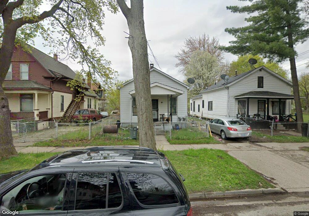
1518 Federal Ave Saginaw, MI 48601
Houghton Jones NeighborhoodEstimated Value: $55,000 - $57,000
--
Bed
--
Bath
1,274
Sq Ft
$44/Sq Ft
Est. Value
About This Home
This home is located at 1518 Federal Ave, Saginaw, MI 48601 and is currently estimated at $56,037, approximately $43 per square foot. 1518 Federal Ave is a home located in Saginaw County with nearby schools including Thompson Middle School, Saginaw United High School, and Saginaw Learn To Earn Academy.
Ownership History
Date
Name
Owned For
Owner Type
Purchase Details
Closed on
Sep 26, 2023
Sold by
Novak Timothy M
Bought by
One Brick Llc
Current Estimated Value
Purchase Details
Closed on
Sep 22, 2023
Sold by
Novak Timothy M
Bought by
One Brick Llc
Purchase Details
Closed on
Apr 12, 2017
Sold by
Freeman Albert and Freeman Lottie M
Bought by
Ware Trina Rena
Purchase Details
Closed on
Apr 10, 2001
Sold by
Freeman Albert and Lottie Mae
Bought by
Freeman Tr Albert and Lottie Mae
Create a Home Valuation Report for This Property
The Home Valuation Report is an in-depth analysis detailing your home's value as well as a comparison with similar homes in the area
Home Values in the Area
Average Home Value in this Area
Purchase History
| Date | Buyer | Sale Price | Title Company |
|---|---|---|---|
| One Brick Llc | $13,250 | None Listed On Document | |
| One Brick Llc | $13,250 | None Listed On Document | |
| Ware Trina Rena | -- | None Available | |
| Freeman Tr Albert | -- | -- | |
| Freeman Albert | -- | -- |
Source: Public Records
Tax History Compared to Growth
Tax History
| Year | Tax Paid | Tax Assessment Tax Assessment Total Assessment is a certain percentage of the fair market value that is determined by local assessors to be the total taxable value of land and additions on the property. | Land | Improvement |
|---|---|---|---|---|
| 2025 | $800 | $11,900 | $0 | $0 |
| 2024 | $654 | $10,700 | $0 | $0 |
| 2023 | $401 | $9,600 | $0 | $0 |
| 2022 | $974 | $8,100 | $0 | $0 |
| 2021 | $924 | $7,400 | $0 | $0 |
| 2020 | $859 | $6,300 | $0 | $0 |
| 2019 | $1,764 | $5,800 | $200 | $5,600 |
| 2018 | $1,494 | $5,778 | $0 | $0 |
| 2017 | $201 | $5,550 | $0 | $0 |
| 2016 | $232 | $5,420 | $0 | $0 |
| 2014 | -- | $3,518 | $0 | $3,399 |
| 2013 | -- | $3,598 | $0 | $0 |
Source: Public Records
Map
Nearby Homes
- 213 S 12th St
- 346 S 7th St
- 441 S 11th St
- 924 Federal Ave
- 524 S 14th St
- 514 N 8th St
- 1103,1107,1111,1115 S Park Ave
- 550 S Weadock Ave
- 915 Burt St
- 1919 Perkins St
- 1346 Carlisle St
- 3361 Burt St
- 1610 E Genesee Ave
- 515 Thompson St
- 631 Cathay St
- 2420 Bancroft St
- 912 Howard St
- 2143 Whittier St
- 3 Harmony Ct
- 2009 E Holland Rd
- 1514 Federal Ave
- 209 S 10th St
- 1522 Federal Ave
- 1510 Federal Ave
- 1506 Federal Ave
- 219 S 10th St
- 210 S 10th St
- 1517 Federal Ave
- 1602 Federal Ave
- 212 S 10th St
- 1523 Federal Ave
- 220 S 9th St
- 1511 Federal Ave
- 218 S 10th St
- 1606 Federal Ave
- 222 S 9th St
- 1505 Federal Ave
- 127 S 10th St
- 1605 Federal Ave
- 224 S 9th St