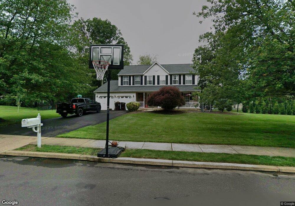
1518 Huntly Dr Warrington, PA 18976
Estimated Value: $773,737 - $834,000
3
Beds
3
Baths
2,410
Sq Ft
$336/Sq Ft
Est. Value
About This Home
This home is located at 1518 Huntly Dr, Warrington, PA 18976 and is currently estimated at $810,934, approximately $336 per square foot. 1518 Huntly Dr is a home located in Bucks County with nearby schools including Barclay Elementary School, Tamanend Middle School, and Central Bucks High School - South.
Ownership History
Date
Name
Owned For
Owner Type
Purchase Details
Closed on
Dec 31, 2009
Sold by
Dimaria Michael P and Baun Kristen E
Bought by
Dimaria Michael P and Dimaria Kristen E
Current Estimated Value
Home Financials for this Owner
Home Financials are based on the most recent Mortgage that was taken out on this home.
Original Mortgage
$400,500
Outstanding Balance
$263,884
Interest Rate
5.02%
Mortgage Type
New Conventional
Estimated Equity
$547,050
Purchase Details
Closed on
Apr 18, 2008
Sold by
Horan Frank and Slocum Horan Joann M
Bought by
Dimaria Michael P and Baun Kristen E
Home Financials for this Owner
Home Financials are based on the most recent Mortgage that was taken out on this home.
Original Mortgage
$417,000
Interest Rate
5.93%
Mortgage Type
Purchase Money Mortgage
Create a Home Valuation Report for This Property
The Home Valuation Report is an in-depth analysis detailing your home's value as well as a comparison with similar homes in the area
Home Values in the Area
Average Home Value in this Area
Purchase History
| Date | Buyer | Sale Price | Title Company |
|---|---|---|---|
| Dimaria Michael P | -- | Commonwealth Land Title Insu | |
| Dimaria Michael P | $439,900 | None Available |
Source: Public Records
Mortgage History
| Date | Status | Borrower | Loan Amount |
|---|---|---|---|
| Open | Dimaria Michael P | $400,500 | |
| Closed | Dimaria Michael P | $417,000 |
Source: Public Records
Tax History Compared to Growth
Tax History
| Year | Tax Paid | Tax Assessment Tax Assessment Total Assessment is a certain percentage of the fair market value that is determined by local assessors to be the total taxable value of land and additions on the property. | Land | Improvement |
|---|---|---|---|---|
| 2025 | $7,213 | $41,440 | $10,880 | $30,560 |
| 2024 | $7,213 | $41,440 | $10,880 | $30,560 |
| 2023 | $6,984 | $41,440 | $10,880 | $30,560 |
| 2022 | $6,686 | $40,120 | $10,880 | $29,240 |
| 2021 | $6,612 | $40,120 | $10,880 | $29,240 |
| 2020 | $6,612 | $40,120 | $10,880 | $29,240 |
| 2019 | $6,572 | $40,120 | $10,880 | $29,240 |
| 2018 | $6,572 | $40,120 | $10,880 | $29,240 |
| 2017 | $6,522 | $40,120 | $10,880 | $29,240 |
| 2016 | $6,522 | $40,120 | $10,880 | $29,240 |
| 2015 | -- | $40,120 | $10,880 | $29,240 |
| 2014 | -- | $40,120 | $10,880 | $29,240 |
Source: Public Records
Map
Nearby Homes
- 1656 S Ash Cir
- 1447 Bentley Dr
- 1877 Brook Ln
- 2158 Green Ridge Dr
- 2226 Orchard Hill Cir
- 1917 Brook Ln
- 1402 Valley View
- Kingswood Plan at Breton Hill
- Mayweather Plan at Breton Hill
- Cloverfield Plan at Breton Hill
- Raintree Plan at Breton Hill
- Rollins Plan at Breton Hill
- 1620 Rockcress Dr
- 0 W Bristol Rd
- 1618 Mayfield Cir
- 2018 Buckingham Dr
- 2234 Evin Dr
- 1504 Springfield Ct Unit 37
- 2302 MacIs Cir
- 110 Zircon Ct Unit 14
- 1520 Huntly Dr
- 1516 Huntly Dr
- 1931 Mulberry Ln
- 1921 Mulberry Ln
- 1941 Mulberry Ln
- 1521 Huntly Dr
- 1519 Huntly Dr
- 1911 Mulberry Ln
- 1951 Mulberry Ln
- 1522 Huntly Dr
- 1514 Huntly Dr
- 1516 Long Pond Dr
- 1597 Huntly Dr
- 1519 Long Pond Dr
- 1517 Huntly Dr
- 1961 Mulberry Ln
- 1514 Long Pond Dr
- 1895 Mulberry Ln
- 1950 Mulberry Ln
- 1906 Mulberry Ln