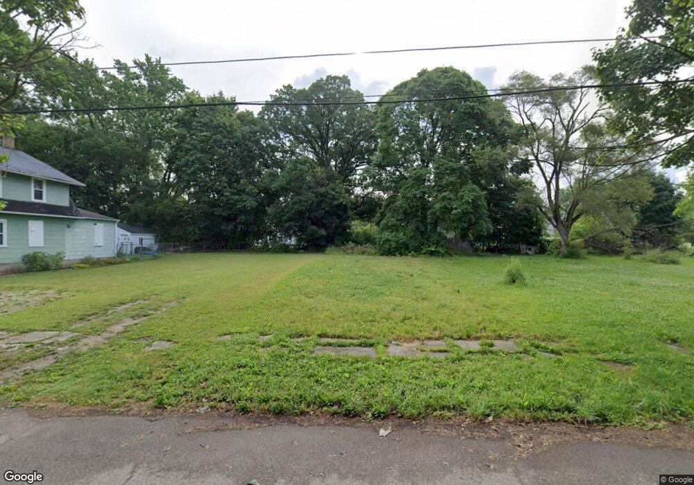
1518 Maplewood Ave Flint, MI 48506
Eastside NeighborhoodEstimated Value: $119,000 - $169,000
3
Beds
1
Bath
1,152
Sq Ft
$125/Sq Ft
Est. Value
About This Home
This home is located at 1518 Maplewood Ave, Flint, MI 48506 and is currently estimated at $144,000, approximately $125 per square foot. 1518 Maplewood Ave is a home located in Genesee County with nearby schools including Potter School, Flint Cultural Center Academy, and WAY Academy of Flint.
Ownership History
Date
Name
Owned For
Owner Type
Purchase Details
Closed on
Dec 17, 2015
Sold by
Genesee County
Bought by
Genesee County Land Bank
Current Estimated Value
Purchase Details
Closed on
May 27, 2005
Sold by
Lang Robert
Bought by
Lang Kelie L
Purchase Details
Closed on
Feb 20, 2002
Sold by
First Union National Bank
Bought by
Lang Robert and Lang Kellie L
Purchase Details
Closed on
Dec 6, 2000
Sold by
Stevens R A
Bought by
First Union National Bank and Fremont Home Loan Owner Trust 1999-3
Purchase Details
Closed on
Jun 21, 1999
Sold by
Gordon Jimmy
Bought by
Stevens Rodney A
Home Financials for this Owner
Home Financials are based on the most recent Mortgage that was taken out on this home.
Original Mortgage
$26,000
Interest Rate
10.5%
Mortgage Type
Purchase Money Mortgage
Create a Home Valuation Report for This Property
The Home Valuation Report is an in-depth analysis detailing your home's value as well as a comparison with similar homes in the area
Home Values in the Area
Average Home Value in this Area
Purchase History
| Date | Buyer | Sale Price | Title Company |
|---|---|---|---|
| Genesee County Land Bank | -- | None Available | |
| Lang Kelie L | -- | -- | |
| Lang Robert | $8,000 | First American Title Ins Co | |
| First Union National Bank | $32,376 | -- | |
| Stevens Rodney A | $24,500 | -- |
Source: Public Records
Mortgage History
| Date | Status | Borrower | Loan Amount |
|---|---|---|---|
| Previous Owner | Stevens Rodney A | $26,000 |
Source: Public Records
Tax History Compared to Growth
Tax History
| Year | Tax Paid | Tax Assessment Tax Assessment Total Assessment is a certain percentage of the fair market value that is determined by local assessors to be the total taxable value of land and additions on the property. | Land | Improvement |
|---|---|---|---|---|
| 2025 | -- | $0 | $0 | $0 |
| 2024 | -- | $0 | $0 | $0 |
| 2023 | -- | $0 | $0 | $0 |
| 2022 | $0 | $0 | $0 | $0 |
| 2021 | $0 | $0 | $0 | $0 |
| 2020 | $0 | $0 | $0 | $0 |
| 2019 | $0 | $0 | $0 | $0 |
| 2018 | $0 | $0 | $0 | $0 |
| 2017 | $0 | $0 | $0 | $0 |
| 2016 | $0 | $0 | $0 | $0 |
| 2015 | -- | $0 | $0 | $0 |
| 2014 | -- | $0 | $0 | $0 |
| 2012 | -- | $10,100 | $0 | $0 |
Source: Public Records
Map
Nearby Homes
- 1501 Arlington Ave
- 1622 Arlington Ave
- 1510 N Vernon Ave
- 1318 Cronk Ave
- 2301 Missouri Ave
- 1220 Minnesota Ave
- 1644 Pennsylvania Ave
- 1612 Iowa Ave
- 1605 Kearsley Park Blvd
- 2426 Missouri Ave
- 2610 Pennsylvania Ave
- 1805 Bennett Ave
- 1814 Mabel Ave
- 2225 Arlington Ave
- 2605 Nebraska Ave
- 1445 Kearsley Park Kearsley Park
- 1529 Broadway Blvd
- 2211 Torrance St
- 301 Chandler St
- 2506 Arlington Ave
- 1514 Maplewood Ave
- 1522 Maplewood Ave
- 1602 Maplewood Ave
- 1606 Maplewood Ave
- 1517 Arlington Ave
- 1513 Arlington Ave
- 1521 Maplewood Ave
- 1513 Maplewood Ave
- 1601 Arlington Ave
- 1521 Arlington Ave
- 1504 Maplewood Ave
- 1601 Maplewood Ave
- 2009 Ohio Ave
- 1510 Maplewood Ave
- 1502 Maplewood Ave
- 1610 Maplewood Ave
- 1507 Arlington Ave
- 1605 Arlington Ave
- 1505 Maplewood Ave
- 1605 Maplewood Ave