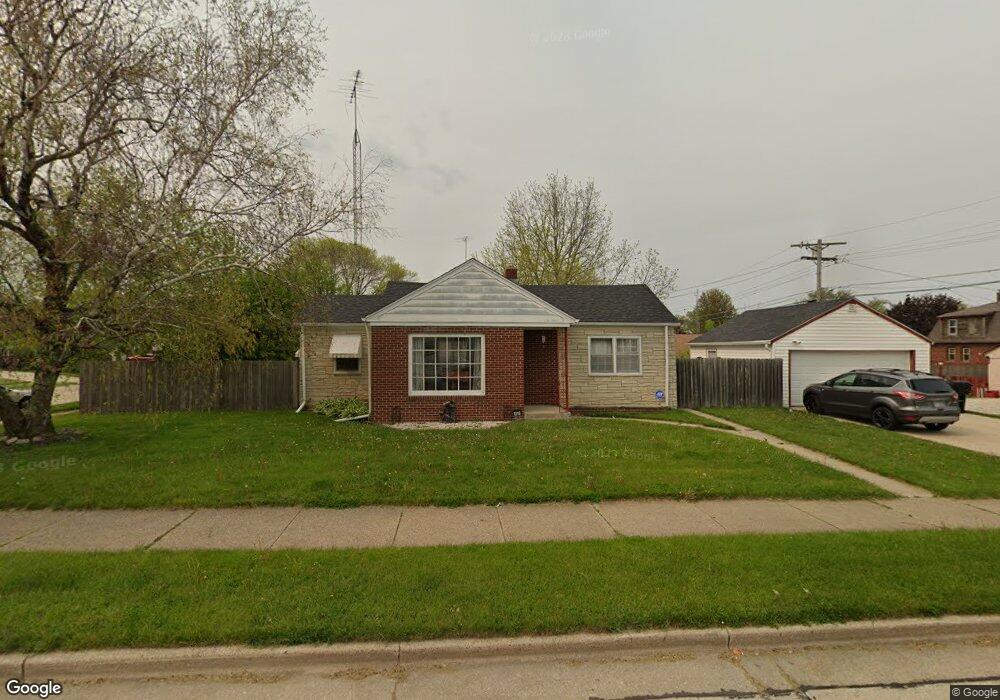
1518 Shoreland Dr Racine, WI 53402
North Bay-Shorecrest NeighborhoodEstimated Value: $179,000 - $208,000
2
Beds
1
Bath
992
Sq Ft
$195/Sq Ft
Est. Value
About This Home
This home is located at 1518 Shoreland Dr, Racine, WI 53402 and is currently estimated at $193,831, approximately $195 per square foot. 1518 Shoreland Dr is a home located in Racine County with nearby schools including Jerstad-Agerholm Elementary School, Jerstad-Agerholm Middle School, and Horlick High School.
Ownership History
Date
Name
Owned For
Owner Type
Purchase Details
Closed on
Jun 8, 2015
Sold by
Masilian Jason T M and Masilian Kari M
Bought by
Wagner Laurie
Current Estimated Value
Purchase Details
Closed on
Aug 24, 2005
Sold by
Jensen Faith Marie
Bought by
Masilian Jason T
Home Financials for this Owner
Home Financials are based on the most recent Mortgage that was taken out on this home.
Original Mortgage
$109,250
Interest Rate
5.89%
Mortgage Type
New Conventional
Create a Home Valuation Report for This Property
The Home Valuation Report is an in-depth analysis detailing your home's value as well as a comparison with similar homes in the area
Home Values in the Area
Average Home Value in this Area
Purchase History
| Date | Buyer | Sale Price | Title Company |
|---|---|---|---|
| Wagner Laurie | $74,900 | None Available | |
| Masilian Jason T | $115,000 | -- | |
| Jensen Faith Marie | $108,000 | -- |
Source: Public Records
Mortgage History
| Date | Status | Borrower | Loan Amount |
|---|---|---|---|
| Previous Owner | Masilian Jason T | $109,250 |
Source: Public Records
Tax History Compared to Growth
Tax History
| Year | Tax Paid | Tax Assessment Tax Assessment Total Assessment is a certain percentage of the fair market value that is determined by local assessors to be the total taxable value of land and additions on the property. | Land | Improvement |
|---|---|---|---|---|
| 2024 | $3,284 | $147,600 | $20,500 | $127,100 |
| 2023 | $3,072 | $134,000 | $20,500 | $113,500 |
| 2022 | $2,911 | $122,000 | $20,500 | $101,500 |
| 2021 | $2,958 | $111,000 | $20,500 | $90,500 |
| 2020 | $3,123 | $111,000 | $20,500 | $90,500 |
| 2019 | $2,730 | $104,000 | $20,500 | $83,500 |
| 2018 | $2,682 | $88,000 | $20,500 | $67,500 |
| 2017 | $2,614 | $88,000 | $20,500 | $67,500 |
| 2016 | $2,453 | $81,000 | $20,500 | $60,500 |
| 2015 | $2,563 | $81,000 | $20,500 | $60,500 |
| 2014 | $2,563 | $81,000 | $20,500 | $60,500 |
| 2013 | $2,563 | $88,000 | $25,200 | $62,800 |
Source: Public Records
Map
Nearby Homes
- 3344 9th Ave
- 3401 Douglas Ave
- 3457 Douglas Ave
- 1436 Willmor St
- 3333 6th Ave
- 3100 Geneva St
- 1101 Harmony Dr
- 1124 Kingston Ave
- 3452 1st Ave
- 1019 Kingston Ave
- 737 South St
- 3422 Stratford Ave
- 819 Florence Ave
- 2621 Cottonwood Ct
- 807 Florence Ave
- 917 Coronada Dr
- 2700 Lasalle St
- 901 Saxony Dr
- 501 South St
- 465 Dena Cir