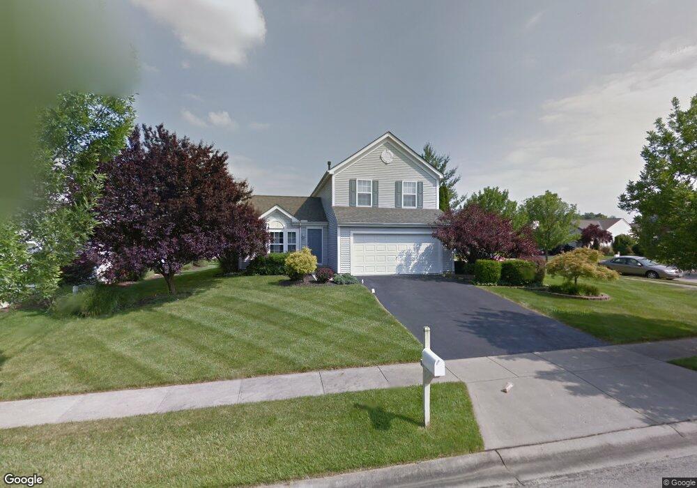
1518 Summit Ridge Rd Loveland, OH 45140
Outer Loveland NeighborhoodEstimated Value: $367,000 - $397,000
3
Beds
3
Baths
1,454
Sq Ft
$264/Sq Ft
Est. Value
About This Home
This home is located at 1518 Summit Ridge Rd, Loveland, OH 45140 and is currently estimated at $383,874, approximately $264 per square foot. 1518 Summit Ridge Rd is a home located in Clermont County with nearby schools including Milford Senior High School, Milford Christian Academy, and St. Andrew - St. Elizabeth Ann Seton School.
Ownership History
Date
Name
Owned For
Owner Type
Purchase Details
Closed on
Dec 2, 1999
Sold by
M/I Schottenstein Homes
Bought by
Sedam Matthew S and Ruttschaw Donna L
Current Estimated Value
Home Financials for this Owner
Home Financials are based on the most recent Mortgage that was taken out on this home.
Original Mortgage
$143,250
Outstanding Balance
$45,216
Interest Rate
7.97%
Mortgage Type
New Conventional
Estimated Equity
$338,658
Create a Home Valuation Report for This Property
The Home Valuation Report is an in-depth analysis detailing your home's value as well as a comparison with similar homes in the area
Home Values in the Area
Average Home Value in this Area
Purchase History
| Date | Buyer | Sale Price | Title Company |
|---|---|---|---|
| Sedam Matthew S | $150,827 | -- |
Source: Public Records
Mortgage History
| Date | Status | Borrower | Loan Amount |
|---|---|---|---|
| Open | Sedam Matthew S | $143,250 |
Source: Public Records
Tax History Compared to Growth
Tax History
| Year | Tax Paid | Tax Assessment Tax Assessment Total Assessment is a certain percentage of the fair market value that is determined by local assessors to be the total taxable value of land and additions on the property. | Land | Improvement |
|---|---|---|---|---|
| 2024 | $4,422 | $96,120 | $18,170 | $77,950 |
| 2023 | $4,467 | $96,120 | $18,170 | $77,950 |
| 2022 | $4,075 | $66,780 | $12,600 | $54,180 |
| 2021 | $4,079 | $66,780 | $12,600 | $54,180 |
| 2020 | $3,911 | $66,780 | $12,600 | $54,180 |
| 2019 | $3,947 | $64,090 | $12,600 | $51,490 |
| 2018 | $3,949 | $64,090 | $12,600 | $51,490 |
| 2017 | $3,589 | $64,090 | $12,600 | $51,490 |
| 2016 | $3,620 | $53,410 | $10,500 | $42,910 |
| 2015 | $3,348 | $53,410 | $10,500 | $42,910 |
| 2014 | $3,348 | $53,410 | $10,500 | $42,910 |
| 2013 | $3,306 | $51,140 | $11,200 | $39,940 |
Source: Public Records
Map
Nearby Homes
- 2013 Weber Rd
- 1140 Weber Rd
- 1803 Wheatfield Way
- 5933 Firm Stance Dr
- 6211 Spires Dr
- 6108 Donna Jay Dr
- 6149 Century Farm Dr
- 6320 Ashford Dr
- 6141 Brandywine Ct
- 1064 Weber Rd
- 1124 Clover Field Dr
- 1376 Barre Ln
- 1113 Clover Field Dr
- 6395 Barre Rd
- 1513 Charleston Ln
- 6467 Smith Rd
- 6379 Derbyshire Ln
- 6077 Branch Hill Guinea Pike
- 6211 Cook Rd
- 1285 State Rte 28
- 1520 Summit Ridge Rd
- 1520 Summit Ridge
- 2006 Weber Rd
- 1522 Summit Ridge Rd
- 2011 Weber Rd
- 1525 Summit Ridge
- 2009 Weber Rd
- 2004 Weber Rd
- 1524 Summit Ridge Rd
- 1525 Summit Ridge Rd
- 2007 Weber Rd
- 2015 Weber Rd
- 1527 Summit Ridge Rd
- 2017 Weber Rd
- 2002 Weber Rd
- 1529 Summit Ridge Rd
- 2005 Weber Rd
- 1526 Summit Ridge Rd
- 1531 Summit Ridge Rd
- 1531 Summit Ridge