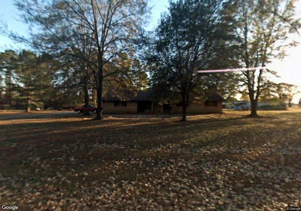
1518 Walnut Rd Springhill, LA 71075
Estimated Value: $58,000 - $135,000
Studio
--
Bath
--
Sq Ft
2
Acres
About This Home
This home is located at 1518 Walnut Rd, Springhill, LA 71075 and is currently estimated at $93,685. 1518 Walnut Rd is a home located in Webster Parish with nearby schools including Browning Elementary School, Brown Upper Elementary School, and North Webster High School.
Ownership History
Date
Name
Owned For
Owner Type
Purchase Details
Closed on
Jan 26, 2015
Sold by
Farmer'S Bank & Trust Company Of Magnoli
Bought by
Sandrs Trinity Alman
Current Estimated Value
Home Financials for this Owner
Home Financials are based on the most recent Mortgage that was taken out on this home.
Original Mortgage
$21,867
Interest Rate
3.92%
Mortgage Type
New Conventional
Purchase Details
Closed on
Apr 30, 2012
Sold by
Matthew Beshea William
Bought by
Farmers Bank & Trust Co
Purchase Details
Closed on
Feb 22, 2007
Sold by
Miller Michael Ted and Miller Judy C
Bought by
Beshea William M
Create a Home Valuation Report for This Property
The Home Valuation Report is an in-depth analysis detailing your home's value as well as a comparison with similar homes in the area
Home Values in the Area
Average Home Value in this Area
Purchase History
| Date | Buyer | Sale Price | Title Company |
|---|---|---|---|
| Sandrs Trinity Alman | -- | None Available | |
| Farmers Bank & Trust Co | $44,841 | None Available | |
| Beshea William M | $35,000 | None Available |
Source: Public Records
Mortgage History
| Date | Status | Borrower | Loan Amount |
|---|---|---|---|
| Closed | Sandrs Trinity Alman | $21,867 |
Source: Public Records
Tax History
| Year | Tax Paid | Tax Assessment Tax Assessment Total Assessment is a certain percentage of the fair market value that is determined by local assessors to be the total taxable value of land and additions on the property. | Land | Improvement |
|---|---|---|---|---|
| 2025 | $341 | $2,730 | $550 | $2,180 |
| 2024 | $334 | $2,730 | $550 | $2,180 |
| 2023 | $0 | $2,620 | $500 | $2,120 |
| 2022 | $292 | $2,620 | $500 | $2,120 |
| 2021 | $292 | $2,620 | $500 | $2,120 |
| 2020 | $298 | $2,620 | $500 | $2,120 |
| 2019 | $293 | $2,620 | $500 | $2,120 |
| 2018 | $301 | $2,620 | $500 | $2,120 |
| 2017 | $299 | $2,620 | $500 | $2,120 |
| 2016 | $318 | $2,620 | $500 | $2,120 |
| 2010 | $640 | $5,680 | $500 | $5,180 |
Source: Public Records
Map
Nearby Homes
- 0 Elm St
- 212 1st Street Pinehill
- 2020 S Arkansas St
- 894 Percy Burns Rd
- 0 SW 1st St Unit 21062350
- 407 S Park Dr
- 405 8th St SE
- 304 8th St SE
- 404 4th St SE
- 403 N Park Dr
- 107 6th St NE
- 0 June Anthony Dr
- 900 MacHen Dr
- 206 North St
- 203 Airport Loop
- 204 3rd St NW
- 423 11th St NE
- 607 5th St NE
- 511 King Orchard Rd
- 709 W Church St
- 1528 Walnut Rd
- 1502 Walnut Rd
- 1519 Walnut Rd
- 151 Sanders Rd
- 1492 Walnut Rd
- 1501 Walnut Rd
- 1542 Walnut Rd
- 173 Sanders Rd
- 1438 Walnut Rd
- 1615 Walnut Rd
- 1636 Walnut Rd
- 1643 Walnut Rd
- 1654 Walnut Rd
- 168 Percy Burns Rd
- 1661 Walnut Rd
- 1668 Walnut Rd
- 276 Sanders Rd
- 126 Percy Burns Rd
- 215 Percy Burns Rd
- 294 Sanders Rd
Your Personal Tour Guide
Ask me questions while you tour the home.