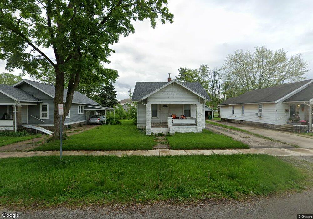
1519 11th St Charleston, IL 61920
Estimated Value: $71,000 - $105,000
4
Beds
1
Bath
1,152
Sq Ft
$77/Sq Ft
Est. Value
About This Home
This home is located at 1519 11th St, Charleston, IL 61920 and is currently estimated at $88,333, approximately $76 per square foot. 1519 11th St is a home located in Coles County with nearby schools including Charleston High School and Charleston Christian Academy.
Ownership History
Date
Name
Owned For
Owner Type
Purchase Details
Closed on
Apr 17, 2019
Sold by
Baker Trust
Bought by
Hortenstine Properties Llc Vi
Current Estimated Value
Home Financials for this Owner
Home Financials are based on the most recent Mortgage that was taken out on this home.
Original Mortgage
$195,440
Outstanding Balance
$172,172
Interest Rate
4.4%
Mortgage Type
New Conventional
Estimated Equity
-$83,839
Purchase Details
Closed on
Aug 2, 2012
Sold by
Baker Jeffrey A and Baker Connie R
Bought by
Baker Connie R and The Connie R Baker Revocable Trust
Purchase Details
Closed on
Jan 31, 2011
Sold by
Brading Branding Karen
Bought by
Baker Connie R
Create a Home Valuation Report for This Property
The Home Valuation Report is an in-depth analysis detailing your home's value as well as a comparison with similar homes in the area
Home Values in the Area
Average Home Value in this Area
Purchase History
| Date | Buyer | Sale Price | Title Company |
|---|---|---|---|
| Hortenstine Properties Llc Vi | $195,000 | None Available | |
| Baker Connie R | -- | None Available | |
| Baker Connie R | $45,000 | None Available |
Source: Public Records
Mortgage History
| Date | Status | Borrower | Loan Amount |
|---|---|---|---|
| Open | Hortenstine Properties Llc Vi | $195,440 |
Source: Public Records
Tax History Compared to Growth
Tax History
| Year | Tax Paid | Tax Assessment Tax Assessment Total Assessment is a certain percentage of the fair market value that is determined by local assessors to be the total taxable value of land and additions on the property. | Land | Improvement |
|---|---|---|---|---|
| 2024 | $1,125 | $14,502 | $4,060 | $10,442 |
| 2023 | $1,108 | $13,244 | $3,708 | $9,536 |
| 2022 | $1,111 | $13,025 | $3,647 | $9,378 |
| 2021 | $1,144 | $12,500 | $3,500 | $9,000 |
| 2020 | $1,164 | $12,952 | $3,489 | $9,463 |
| 2019 | $1,145 | $12,500 | $3,367 | $9,133 |
| 2018 | $1,513 | $16,690 | $3,367 | $13,323 |
| 2017 | $1,493 | $16,690 | $3,367 | $13,323 |
| 2016 | $1,480 | $16,690 | $3,367 | $13,323 |
| 2015 | $1,528 | $16,690 | $3,367 | $13,323 |
| 2014 | $1,528 | $16,690 | $3,367 | $13,323 |
| 2013 | $1,528 | $16,690 | $3,367 | $13,323 |
Source: Public Records
Map
Nearby Homes
- 1125 6th St
- 1103 & 1105 6th St
- 1011 6th St
- 6 Brosam Dr
- 9 Brosam Dr
- 943 2nd St
- 124 Polk Ave
- 1520 Harrison Ave
- 1528 Division St
- 950 Edgar Dr Unit 4
- 9 Orchard Dr
- 926 Division St
- 29 Miller Ave
- Lot 28 Tanglewood Dr
- Lot 35 Tanglewood Dr
- 1016 Hawthorne Dr
- Lot 41 Hawthorne Dr
- Lot 43 Hawthorne Dr
- Lot 45 Hawthorne Dr
- Lot 47 Hawthorne Dr