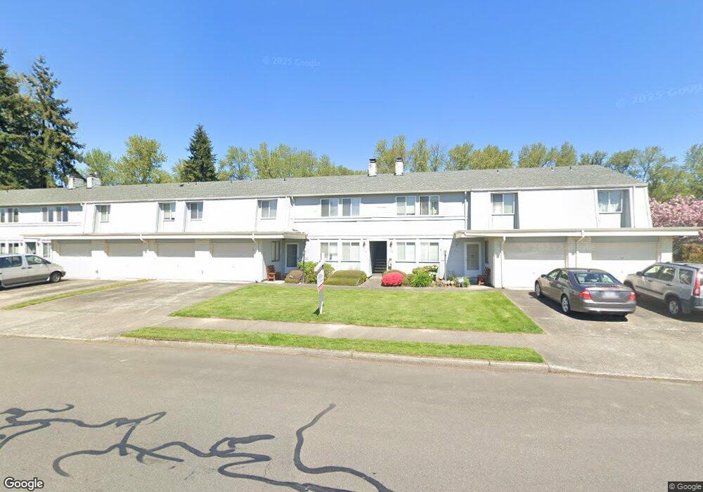
1519 22nd St NE Unit 41617 Auburn, WA 98002
North Auburn NeighborhoodEstimated Value: $335,000 - $350,000
3
Beds
2
Baths
1,160
Sq Ft
$295/Sq Ft
Est. Value
About This Home
This home is located at 1519 22nd St NE Unit 41617, Auburn, WA 98002 and is currently estimated at $341,789, approximately $294 per square foot. 1519 22nd St NE Unit 41617 is a home located in King County with nearby schools including Dick Scobee Elementary School, Cascade Middle School, and Auburn High School.
Ownership History
Date
Name
Owned For
Owner Type
Purchase Details
Closed on
Nov 16, 2000
Sold by
Wheaton Earl L and Wheaton Mija
Bought by
Assie Kouassi K B L
Current Estimated Value
Home Financials for this Owner
Home Financials are based on the most recent Mortgage that was taken out on this home.
Original Mortgage
$90,360
Outstanding Balance
$33,248
Interest Rate
7.86%
Mortgage Type
Purchase Money Mortgage
Estimated Equity
$308,541
Purchase Details
Closed on
Jan 29, 1992
Sold by
Wheaton John
Bought by
Wheaton Earl L and Wheaton Mija
Create a Home Valuation Report for This Property
The Home Valuation Report is an in-depth analysis detailing your home's value as well as a comparison with similar homes in the area
Home Values in the Area
Average Home Value in this Area
Purchase History
| Date | Buyer | Sale Price | Title Company |
|---|---|---|---|
| Assie Kouassi K B L | $112,950 | Washington Title | |
| Wheaton Earl L | -- | -- |
Source: Public Records
Mortgage History
| Date | Status | Borrower | Loan Amount |
|---|---|---|---|
| Open | Assie Kouassi K B L | $90,360 | |
| Closed | Assie Kouassi K B L | $22,590 |
Source: Public Records
Tax History Compared to Growth
Tax History
| Year | Tax Paid | Tax Assessment Tax Assessment Total Assessment is a certain percentage of the fair market value that is determined by local assessors to be the total taxable value of land and additions on the property. | Land | Improvement |
|---|---|---|---|---|
| 2024 | $4,150 | $343,000 | $31,500 | $311,500 |
| 2023 | $3,501 | $331,000 | $31,500 | $299,500 |
| 2022 | $3,169 | $298,000 | $18,000 | $280,000 |
| 2021 | $2,804 | $232,000 | $15,000 | $217,000 |
| 2020 | $2,751 | $193,000 | $15,000 | $178,000 |
| 2018 | $2,648 | $169,000 | $15,000 | $154,000 |
| 2017 | $2,273 | $162,000 | $15,000 | $147,000 |
| 2016 | $1,778 | $138,000 | $15,000 | $123,000 |
| 2015 | $1,991 | $112,000 | $15,000 | $97,000 |
| 2014 | -- | $124,000 | $15,000 | $109,000 |
| 2013 | -- | $83,000 | $15,000 | $68,000 |
Source: Public Records
Map
Nearby Homes
- 1519 22nd St NE Unit 1533
- 1402 22nd St NE Unit 27
- 1402 22nd St NE Unit 54
- 1402 22nd St NE Unit 503
- 1402 22nd St NE Unit 235
- 1402 22nd St NE Unit 269
- 1402 22nd St NE Unit 300
- 1402 22nd St NE Unit 126
- 1402 22nd St NE Unit 446
- 1402 22nd St NE Unit 243
- 1402 22nd St NE Unit 229
- 1402 22nd St NE Unit 549
- 1402 22nd St NE Unit 86
- 1402 22nd St NE Unit 252
- 1402 22nd St NE Unit 65
- 1402 22nd St NE Unit 203
- 1402 22nd St NE Unit 406
- 1402 22nd St NE Unit 531
- 1402 22nd St NE Unit 214
- 1901 M St NE Unit G2005
- 1519 22nd St NE Unit 1623
- 1519 22nd St NE Unit 1603
- 1519 22nd St NE Unit 1541
- 1519 22nd St NE Unit 1627
- 1519 22nd St NE
- 1519 22nd St NE Unit 51607
- 1519 22nd St NE Unit 1517
- 1519 22nd St NE Unit 21539
- 1519 22nd St NE Unit 1513
- 1519 22nd St NE Unit 1519
- 1519 22nd St NE Unit 1515
- 1519 22nd St NE Unit 21535
- 1519 22nd St NE Unit 31631
- 1519 22nd St NE Unit 31629
- 1519 22nd St NE Unit 31627
- 1519 22nd St NE Unit 31625
- 1519 22nd St NE Unit 31623
- 1519 22nd St NE Unit 31621
- 1519 22nd St NE Unit 41615
- 1519 22nd St NE Unit 41613