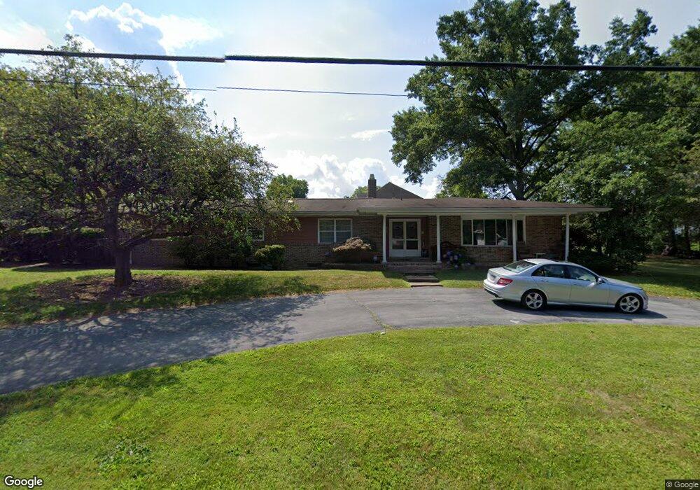
1519 Appletree Rd Harrisburg, PA 17110
Estimated Value: $470,000 - $572,304
4
Beds
4
Baths
3,813
Sq Ft
$141/Sq Ft
Est. Value
About This Home
This home is located at 1519 Appletree Rd, Harrisburg, PA 17110 and is currently estimated at $535,826, approximately $140 per square foot. 1519 Appletree Rd is a home located in Dauphin County with nearby schools including Thomas W. Holtzman Jr. Elementary School, Sara Lindemuth Elementary School, and Susquehanna Township Middle School.
Ownership History
Date
Name
Owned For
Owner Type
Purchase Details
Closed on
Jul 11, 2005
Sold by
Foreman Janet T
Bought by
Saft Andrew G
Current Estimated Value
Home Financials for this Owner
Home Financials are based on the most recent Mortgage that was taken out on this home.
Original Mortgage
$269,910
Outstanding Balance
$140,987
Interest Rate
5.67%
Mortgage Type
New Conventional
Estimated Equity
$394,839
Create a Home Valuation Report for This Property
The Home Valuation Report is an in-depth analysis detailing your home's value as well as a comparison with similar homes in the area
Home Values in the Area
Average Home Value in this Area
Purchase History
| Date | Buyer | Sale Price | Title Company |
|---|---|---|---|
| Saft Andrew G | $299,900 | -- |
Source: Public Records
Mortgage History
| Date | Status | Borrower | Loan Amount |
|---|---|---|---|
| Open | Saft Andrew G | $269,910 |
Source: Public Records
Tax History Compared to Growth
Tax History
| Year | Tax Paid | Tax Assessment Tax Assessment Total Assessment is a certain percentage of the fair market value that is determined by local assessors to be the total taxable value of land and additions on the property. | Land | Improvement |
|---|---|---|---|---|
| 2025 | $9,127 | $251,200 | $30,500 | $220,700 |
| 2024 | $8,229 | $251,200 | $30,500 | $220,700 |
| 2023 | $7,890 | $251,200 | $30,500 | $220,700 |
| 2022 | $7,792 | $251,200 | $30,500 | $220,700 |
| 2021 | $7,656 | $251,200 | $30,500 | $220,700 |
| 2020 | $7,656 | $251,200 | $30,500 | $220,700 |
| 2019 | $7,485 | $251,200 | $30,500 | $220,700 |
| 2018 | $7,073 | $251,200 | $30,500 | $220,700 |
| 2017 | $7,073 | $251,200 | $30,500 | $220,700 |
| 2016 | $0 | $251,200 | $30,500 | $220,700 |
| 2015 | -- | $251,200 | $30,500 | $220,700 |
| 2014 | -- | $251,200 | $30,500 | $220,700 |
Source: Public Records
Map
Nearby Homes
- 4113 Cotswold Dr
- 0 Montfort Dr
- 1411 Montfort Dr
- 1504 Pelham Rd
- 1108 Linglestown Rd
- 1738 Bradley Dr
- 1734 Bradley Dr
- 1722 Bradley Dr
- 1300 Mountain Laurel Cir
- 2001 Mount Vernon Cir
- Lot 1 Lot 2 Crooked Crooked Hill Rd
- 4333 Linglestown Rd
- 1859 Bradley Dr
- 1841 Ethan Dr
- 1732 Driftstone Dr
- 3513 Athena Ave
- 1744 Driftstone Dr
- 4529 Custer Terrace
- 2051 Sauers Rd
- 4536 Custer Terrace
- 1609 Mitchell Rd
- 1507 Appletree Rd
- 1534 Appletree Rd
- 1538 Appletree Rd
- 1529 Appletree Rd
- 1500 Appletree Rd
- 1611 Mitchell Rd
- 1608 Mitchell Rd
- 4109 Cotswold Dr
- 0 Cotswold Dr
- 1540 Appletree Rd
- 1435 Appletree Rd
- 1612 Mitchell Rd
- 1430 Appletree Rd
- 4110 Cotswold Dr
- 1430 Garalyn Rd
- 1613 Mitchell Rd
- 1539 Appletree Rd
- 4204 Kirkwood Rd
- 1435 Garalyn Rd