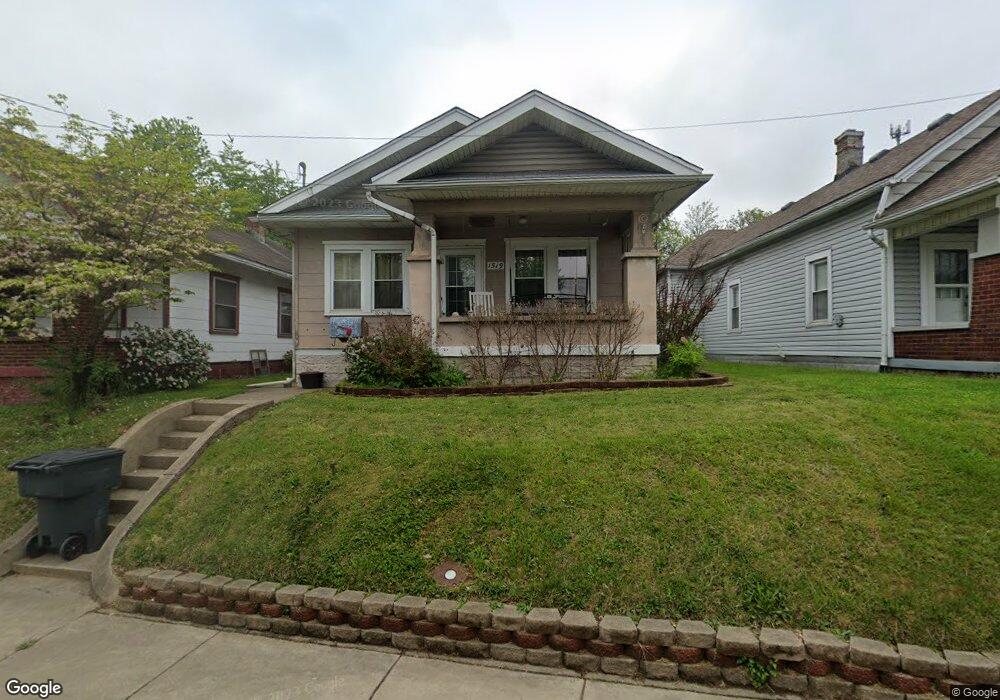
1519 Charlestown Rd New Albany, IN 47150
Estimated Value: $110,000 - $158,958
2
Beds
1
Bath
1,008
Sq Ft
$138/Sq Ft
Est. Value
About This Home
This home is located at 1519 Charlestown Rd, New Albany, IN 47150 and is currently estimated at $138,740, approximately $137 per square foot. 1519 Charlestown Rd is a home located in Floyd County with nearby schools including Fairmont Elementary School, Hazelwood Middle School, and New Albany Senior High School.
Ownership History
Date
Name
Owned For
Owner Type
Purchase Details
Closed on
Aug 27, 2024
Sold by
Sharp Tina L and Lane Tina L
Bought by
Lane Tina L and Lane David H
Current Estimated Value
Home Financials for this Owner
Home Financials are based on the most recent Mortgage that was taken out on this home.
Original Mortgage
$53,500
Outstanding Balance
$52,945
Interest Rate
6.89%
Mortgage Type
New Conventional
Estimated Equity
$85,795
Create a Home Valuation Report for This Property
The Home Valuation Report is an in-depth analysis detailing your home's value as well as a comparison with similar homes in the area
Home Values in the Area
Average Home Value in this Area
Purchase History
| Date | Buyer | Sale Price | Title Company |
|---|---|---|---|
| Lane Tina L | -- | None Listed On Document |
Source: Public Records
Mortgage History
| Date | Status | Borrower | Loan Amount |
|---|---|---|---|
| Open | Lane Tina L | $53,500 |
Source: Public Records
Tax History Compared to Growth
Tax History
| Year | Tax Paid | Tax Assessment Tax Assessment Total Assessment is a certain percentage of the fair market value that is determined by local assessors to be the total taxable value of land and additions on the property. | Land | Improvement |
|---|---|---|---|---|
| 2024 | $391 | $59,000 | $12,200 | $46,800 |
| 2023 | $427 | $60,000 | $12,200 | $47,800 |
| 2022 | $382 | $60,600 | $12,200 | $48,400 |
| 2021 | $337 | $55,300 | $12,200 | $43,100 |
| 2020 | $301 | $52,100 | $12,200 | $39,900 |
| 2019 | $271 | $49,300 | $12,200 | $37,100 |
| 2018 | $248 | $46,000 | $12,200 | $33,800 |
| 2017 | $222 | $41,700 | $12,200 | $29,500 |
| 2016 | $204 | $41,400 | $12,200 | $29,200 |
| 2014 | $215 | $40,200 | $12,200 | $28,000 |
| 2013 | -- | $39,300 | $12,200 | $27,100 |
Source: Public Records
Map
Nearby Homes
- 1711 Charlestown Rd
- 1261 Vance Ave
- 1235 Vance Ave
- 1464 South St
- 1418 Vance Ave
- 1412 Chartres St
- 1406 Chartres St
- 1918 Charlestown Rd
- 1314 Chartres St
- 1011 Vincennes St Unit 5
- 2103 Loop Island Way
- 2111 Loop Island Way
- 2115 Loop Island Way
- 1120 Chartres St
- 830 Cedar Bough Place
- 1205 Ekin Ave
- 1314 Ekin Ave
- 1119 Ekin Ave
- 1605 Culbertson Ave
- 1313 Culbertson Ave
- 1517 Charlestown Rd
- 1521 Charlestown Rd
- 1515 1/2 Charlestown Rd
- 1525 Charlestown Rd
- 1529 Charlestown Rd
- 1515 Charlestown Rd
- 1241 Clark St
- 1239 Clark St
- 1516 Charlestown Rd
- 1601 Charlestown Rd
- 1513 Charlestown Rd
- 1302 Clark St
- 1237 Clark St
- 1600 Charlestown Rd
- 1605 Charlestown Rd
- 1604 Charlestown Rd
- 1512 Charlestown Rd
- 1555 E 8th St
- 1507 Charlestown Rd
- 1606 Charlestown Rd