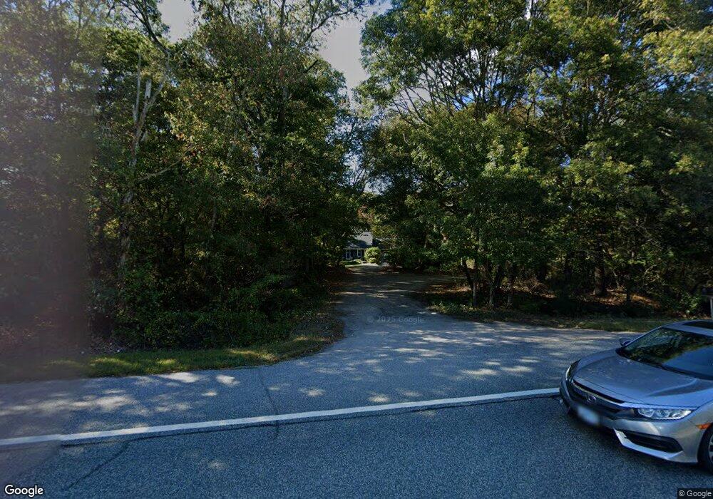
1519 Comd Oliver Hazard Perry Hwy Wakefield, RI 02879
Estimated Value: $598,033 - $944,000
3
Beds
2
Baths
1,575
Sq Ft
$449/Sq Ft
Est. Value
About This Home
This home is located at 1519 Comd Oliver Hazard Perry Hwy, Wakefield, RI 02879 and is currently estimated at $707,758, approximately $449 per square foot. 1519 Comd Oliver Hazard Perry Hwy is a home located in Washington County with nearby schools including South Kingstown High School, Monsignor Matthew Clarke Catholic Regional School, and South Shore School.
Ownership History
Date
Name
Owned For
Owner Type
Purchase Details
Closed on
Jul 28, 1976
Bought by
Durfee Lawson W
Current Estimated Value
Create a Home Valuation Report for This Property
The Home Valuation Report is an in-depth analysis detailing your home's value as well as a comparison with similar homes in the area
Home Values in the Area
Average Home Value in this Area
Purchase History
| Date | Buyer | Sale Price | Title Company |
|---|---|---|---|
| Durfee Lawson W | -- | -- |
Source: Public Records
Mortgage History
| Date | Status | Borrower | Loan Amount |
|---|---|---|---|
| Open | Durfee Lawson W | $154,000 | |
| Closed | Durfee Lawson W | $150,000 |
Source: Public Records
Tax History Compared to Growth
Tax History
| Year | Tax Paid | Tax Assessment Tax Assessment Total Assessment is a certain percentage of the fair market value that is determined by local assessors to be the total taxable value of land and additions on the property. | Land | Improvement |
|---|---|---|---|---|
| 2025 | $3,375 | $377,500 | $124,300 | $253,200 |
| 2024 | $3,513 | $317,900 | $105,600 | $212,300 |
| 2023 | $3,513 | $317,900 | $105,600 | $212,300 |
| 2022 | $3,481 | $317,900 | $105,600 | $212,300 |
| 2021 | $3,685 | $255,000 | $92,500 | $162,500 |
| 2020 | $3,685 | $255,000 | $92,500 | $162,500 |
| 2019 | $3,685 | $255,000 | $92,500 | $162,500 |
| 2018 | $3,316 | $211,500 | $77,200 | $134,300 |
| 2017 | $3,238 | $211,500 | $77,200 | $134,300 |
| 2016 | $3,192 | $211,500 | $77,200 | $134,300 |
| 2015 | $3,175 | $204,600 | $70,700 | $133,900 |
| 2014 | $3,167 | $204,600 | $70,700 | $133,900 |
Source: Public Records
Map
Nearby Homes
- 380 Camp Fuller Rd
- 47 Tuckertown Rd
- 2139 Commodore Oliver Hazard Perry Hwy
- 35 Whittier Dr
- 37 Whittier Dr
- 333 South Rd
- 40 Wild Rose Ct
- 103 Cedar Island Rd
- 16 High Tides Ln
- 5 Secluded Dr
- 23 Rockland Dr
- 23 E Matunuck Farm Dr
- 31 Winter St
- 860 Curtis Corner Rd
- 98 Meadow Ave
- 82 Foster Sheldon Rd
- 00 South Rd
- 1708 Ministerial Rd
- 76 Hartford Ave
- 37 Columbia St
- 1543 Comd Oliver Hazard Perry Hwy
- 1543 Commodore Perry Hwy
- 1591 Commodore Perry Hwy
- 1591 Commodore Perry Hwy
- 1591 Comd Oliver Hazard Perry Hwy
- 1509 Comd Oliver Hazard Perry Hwy
- 733 Post Rd
- 771 Post Rd
- 681 Post Rd
- 697 Post Rd
- 823 Post Rd
- 655 Post Rd
- 1591 Commodore Perry Hwy
- 690 Post Rd
- 740 Post Rd
- 770 Post Rd
- 825 Post Rd
- 980 Post Rd
- 700 Post Rd
- 827 Post Rd