1519 County Road 2224 Decatur, TX 76234
--
Bed
--
Bath
--
Sq Ft
55.12
Acres
About This Home
This home is located at 1519 County Road 2224, Decatur, TX 76234. 1519 County Road 2224 is a home located in Wise County with nearby schools including Decatur High School.
Ownership History
Date
Name
Owned For
Owner Type
Purchase Details
Closed on
Nov 18, 2015
Sold by
Patton Jay L and Patton Stacy J
Bought by
Mills Wesley David and Mills Lana R
Purchase Details
Closed on
Oct 3, 2007
Sold by
Gage C L
Bought by
Patton Jay L and Patton Stacy J
Home Financials for this Owner
Home Financials are based on the most recent Mortgage that was taken out on this home.
Original Mortgage
$297,500
Interest Rate
6.87%
Mortgage Type
Adjustable Rate Mortgage/ARM
Purchase Details
Closed on
Jun 12, 1996
Bought by
Mills Wesley David and Mills Lana R
Purchase Details
Closed on
Oct 8, 1993
Bought by
Mills Wesley David and Mills Lana R
Purchase Details
Closed on
Jan 1, 1901
Bought by
Mills Wesley David and Mills Lana R
Create a Home Valuation Report for This Property
The Home Valuation Report is an in-depth analysis detailing your home's value as well as a comparison with similar homes in the area
Home Values in the Area
Average Home Value in this Area
Purchase History
| Date | Buyer | Sale Price | Title Company |
|---|---|---|---|
| Mills Wesley David | -- | Guardian Title Co | |
| Patton Jay L | -- | -- | |
| Mills Wesley David | -- | -- | |
| Mills Wesley David | -- | -- | |
| Mills Wesley David | -- | -- |
Source: Public Records
Mortgage History
| Date | Status | Borrower | Loan Amount |
|---|---|---|---|
| Previous Owner | Patton Jay L | $297,500 |
Source: Public Records
Tax History Compared to Growth
Tax History
| Year | Tax Paid | Tax Assessment Tax Assessment Total Assessment is a certain percentage of the fair market value that is determined by local assessors to be the total taxable value of land and additions on the property. | Land | Improvement |
|---|---|---|---|---|
| 2025 | $1,277 | $104,247 | $5,051 | $99,196 |
| 2024 | $1,277 | $104,814 | $4,715 | $100,099 |
| 2023 | $1,266 | $104,824 | $0 | $0 |
| 2022 | $1,586 | $103,381 | $0 | $0 |
| 2021 | $1,122 | $668,880 | $603,630 | $65,250 |
| 2020 | $1,127 | $591,460 | $526,320 | $65,140 |
| 2019 | $1,200 | $591,460 | $526,320 | $65,140 |
| 2018 | $101 | $471,150 | $470,190 | $960 |
| 2017 | $101 | $386,960 | $386,000 | $960 |
| 2016 | $100 | $358,900 | $357,940 | $960 |
| 2015 | -- | $297,540 | $297,540 | $0 |
| 2014 | -- | $2,870 | $2,870 | $0 |
Source: Public Records
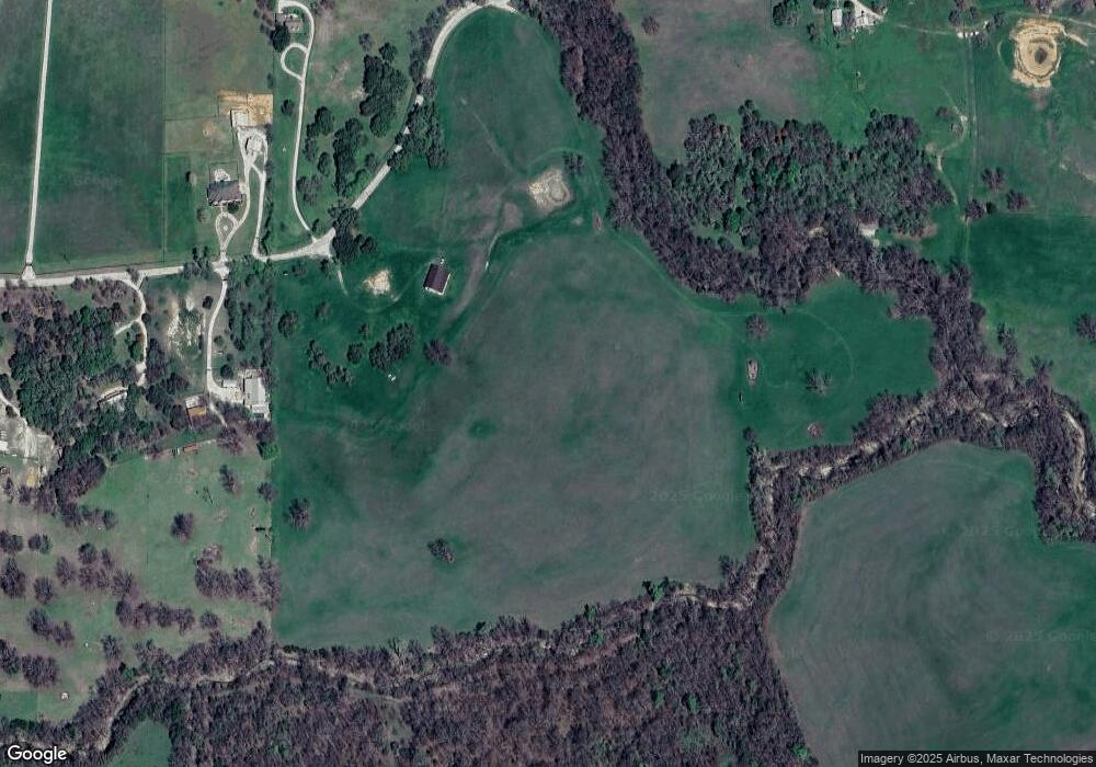
Map
Nearby Homes
- 853 County Road 2215
- 124 Blackstar Ln
- 116 Blackstar Ln
- 132 Blackstar Ln
- 159 Blackstar Ln
- 130 Nicholas Way
- 4002 E Highway 380
- 0 Highway 287 Unit 21102120
- 0 Highway 287 Unit 21094377
- 167 Pr-2313
- 0000 Fm N 730
- TBD County Rd 2735
- Lot 12 Cedar Springs Estates
- TBD E Hwy 380 Hwy
- 362 Decatur Cemetery Rd
- 124 Llanos Dr
- 125 Pampas Ct
- 114 Cemetery Rd
- The Salado Plan at Hillcrest Meadows North
- 126 Range Ln
- 1510 County Road 2224
- 1548 County Road 2224
- 897 County Road 2215
- 885 County Road 2215
- 845 County Road 2215
- 198 Private Road 2217
- 1567 County Road 2224
- 1137 County Road 2224
- 1168 County Road 2224
- 1584 County Road 2224
- 1575 County Road 2224
- 782 County Road 2215
- 1581 County Road 2224
- 1589 County Road 2224
- 1121 County Road 2224
- 753 County Road 2215
- 748 County Road 2215
- 334 County Rd 334
- 1674 County Road 2224
- 607 County Road 2215