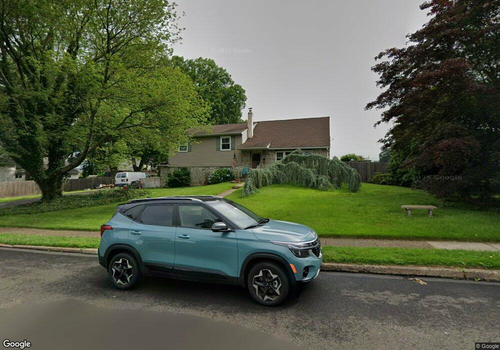
1519 Harris Ln Warminster, PA 18974
Estimated Value: $465,559
--
Bed
3
Baths
2,206
Sq Ft
$211/Sq Ft
Est. Value
About This Home
This home is located at 1519 Harris Ln, Warminster, PA 18974 and is currently estimated at $465,559, approximately $211 per square foot. 1519 Harris Ln is a home located in Bucks County with nearby schools including Willow Dale El School, Log College Middle School, and William Tennent High School.
Ownership History
Date
Name
Owned For
Owner Type
Purchase Details
Closed on
Nov 25, 1997
Sold by
Bulman Paul J and Bulman Miriam D
Bought by
Stewart Michael E and Stewart Susan R
Current Estimated Value
Home Financials for this Owner
Home Financials are based on the most recent Mortgage that was taken out on this home.
Original Mortgage
$135,000
Outstanding Balance
$22,940
Interest Rate
7.28%
Mortgage Type
VA
Estimated Equity
$442,619
Purchase Details
Closed on
Apr 1, 1991
Bought by
Barrilli
Create a Home Valuation Report for This Property
The Home Valuation Report is an in-depth analysis detailing your home's value as well as a comparison with similar homes in the area
Home Values in the Area
Average Home Value in this Area
Purchase History
| Date | Buyer | Sale Price | Title Company |
|---|---|---|---|
| Stewart Michael E | $135,000 | -- | |
| Barrilli | -- | -- |
Source: Public Records
Mortgage History
| Date | Status | Borrower | Loan Amount |
|---|---|---|---|
| Open | Stewart Michael E | $135,000 |
Source: Public Records
Tax History Compared to Growth
Tax History
| Year | Tax Paid | Tax Assessment Tax Assessment Total Assessment is a certain percentage of the fair market value that is determined by local assessors to be the total taxable value of land and additions on the property. | Land | Improvement |
|---|---|---|---|---|
| 2025 | -- | -- | -- | -- |
| 2023 | -- | -- | -- | -- |
| 2022 | $0 | $0 | $0 | $0 |
| 2021 | $0 | $0 | $0 | $0 |
| 2020 | $0 | $0 | $0 | $0 |
| 2019 | $0 | $0 | $0 | $0 |
| 2018 | $0 | $0 | $0 | $0 |
| 2017 | $0 | $0 | $0 | $0 |
| 2016 | -- | $0 | $0 | $0 |
| 2015 | -- | $0 | $0 | $0 |
| 2014 | -- | $0 | $0 | $0 |
Source: Public Records
Map
Nearby Homes
- 442 Acorn Dr
- 1334 Mallard Cir
- 254 Sassafras Ct Unit 254
- 244 Sassafras Ct Unit 244
- 223 Sassafras Ct Unit 223
- 192 Hackberry Ct
- 64 Villa Dr Unit 206
- 1575 W Street Rd Unit 626
- 1575 W Street Rd Unit 812
- 1575 W Street Rd Unit 721
- 100 Villa Dr Unit 224
- 159 Villa Dr Unit 91
- 1277 Beverly Rd
- 1274 Beverly Rd
- 13 Eagle Ct
- 1309 Clyde Rd
- 1704 Larue Ln
- Faraday Plan at Liberty Ridge
- Westmont Plan at Liberty Ridge
- Northbrook Plan at Liberty Ridge
- 318 Rettop Place
- 1533 Harris Ln
- 319 Hopwood Dr
- 326 Rettop Place
- 337 Hopwood Dr
- 309 Rettop Place
- 319 Rettop Place
- 1516 Harris Ln
- 1524 Harris Ln
- 334 Rettop Place
- 1508 Harris Ln
- 1532 Harris Ln
- 325 Rettop Place
- 1500 Harris Ln
- 341 Hopwood Dr
- 1540 Harris Ln
- 342 Rettop Place
- 310 Hopwood Dr
- 333 Rettop Place
- 318 Hopwood Dr