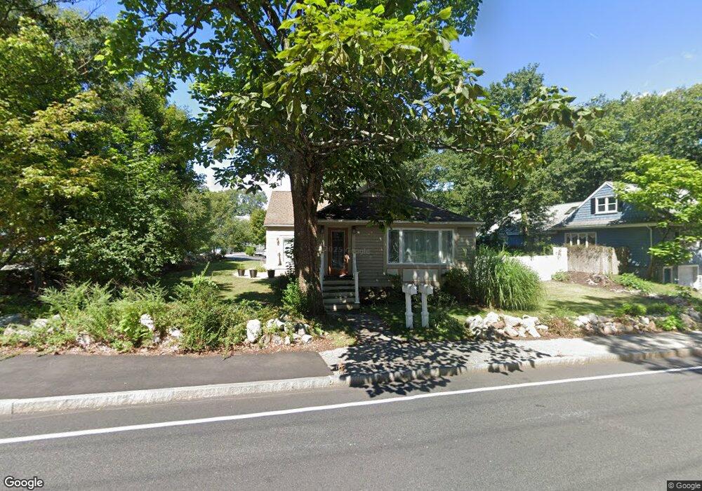
1519 Liberty St Braintree, MA 02184
Braintree Highlands NeighborhoodEstimated Value: $818,723 - $917,000
4
Beds
3
Baths
2,153
Sq Ft
$403/Sq Ft
Est. Value
About This Home
This home is located at 1519 Liberty St, Braintree, MA 02184 and is currently estimated at $867,431, approximately $402 per square foot. 1519 Liberty St is a home located in Norfolk County with nearby schools including Braintree High School, Boston Higashi School, and Lighthouse Baptist Christian Academy.
Ownership History
Date
Name
Owned For
Owner Type
Purchase Details
Closed on
May 27, 2011
Sold by
Grondin Michaela A and Grondin Thomas J
Bought by
Logan Mark and Logan Marsha
Current Estimated Value
Home Financials for this Owner
Home Financials are based on the most recent Mortgage that was taken out on this home.
Original Mortgage
$275,000
Outstanding Balance
$192,314
Interest Rate
4.94%
Mortgage Type
Purchase Money Mortgage
Estimated Equity
$675,117
Purchase Details
Closed on
Sep 28, 2006
Sold by
Schofield Alice E and Schofield Paul H
Bought by
Mccafferty Michaela A and Grondin Thomas J
Home Financials for this Owner
Home Financials are based on the most recent Mortgage that was taken out on this home.
Original Mortgage
$184,000
Interest Rate
6.52%
Mortgage Type
Purchase Money Mortgage
Create a Home Valuation Report for This Property
The Home Valuation Report is an in-depth analysis detailing your home's value as well as a comparison with similar homes in the area
Home Values in the Area
Average Home Value in this Area
Purchase History
| Date | Buyer | Sale Price | Title Company |
|---|---|---|---|
| Logan Mark | $395,000 | -- | |
| Mccafferty Michaela A | $230,000 | -- | |
| Mccafferty Michaela A | -- | -- | |
| Mccafferty Michaela A | $230,000 | -- |
Source: Public Records
Mortgage History
| Date | Status | Borrower | Loan Amount |
|---|---|---|---|
| Open | Logan Mark | $275,000 | |
| Previous Owner | Mccafferty Michaela A | $184,000 | |
| Previous Owner | Mccafferty Michaela A | $23,000 |
Source: Public Records
Tax History Compared to Growth
Tax History
| Year | Tax Paid | Tax Assessment Tax Assessment Total Assessment is a certain percentage of the fair market value that is determined by local assessors to be the total taxable value of land and additions on the property. | Land | Improvement |
|---|---|---|---|---|
| 2025 | $7,205 | $721,900 | $328,600 | $393,300 |
| 2024 | $6,599 | $696,100 | $308,700 | $387,400 |
| 2023 | $6,379 | $653,600 | $278,800 | $374,800 |
| 2022 | $6,305 | $633,700 | $258,900 | $374,800 |
| 2021 | $5,608 | $563,600 | $239,000 | $324,600 |
| 2020 | $5,237 | $531,100 | $219,100 | $312,000 |
| 2019 | $4,964 | $492,000 | $219,100 | $272,900 |
| 2018 | $4,868 | $461,900 | $199,100 | $262,800 |
| 2017 | $4,747 | $442,000 | $179,200 | $262,800 |
| 2016 | $4,456 | $405,800 | $159,300 | $246,500 |
| 2015 | $4,296 | $388,100 | $150,400 | $237,700 |
| 2014 | $4,346 | $380,600 | $143,400 | $237,200 |
Source: Public Records
Map
Nearby Homes
- 7 Drake St
- 116 Cardinal Ct
- 129 Albee Dr
- 1696 Liberty St
- 44 Livoli Ave
- 70 Christina Dr
- 30 Milton Rd
- 115 Richard Rd
- 30 Bradford Commons Ln
- 75 Bradford Commons Ln Unit 75
- 86 Bradford Commons Ln
- 111 Bradford Commons Ln Unit 111
- 117 Amherst Rd
- 16 Winthrop Ave
- 134 Tyson Commons Ln
- 1579 Washington St
- 206 Allerton Commons Ln Unit 206
- 373 N Franklin St
- 45 Forest St
- 278 Allerton Commons Ln
- 1509 Liberty St
- 15 Liberty Park Ave
- 245 Wildwood Ave
- 252 Wildwood Ave
- 1501 Liberty St
- 1523 Liberty St
- 1520 Liberty St
- 1510 Liberty St
- 23 Liberty Park Ave
- 244 Wildwood Ave
- 1528 Liberty St
- 20 Liberty Park Ave
- 1533 Liberty St
- 241 Wildwood Ave
- 1534 Liberty St
- 1500 Liberty St
- 29 Liberty Park Ave
- 236 Wildwood Ave
- 3 Ashworth Ave
- 1542 Liberty St