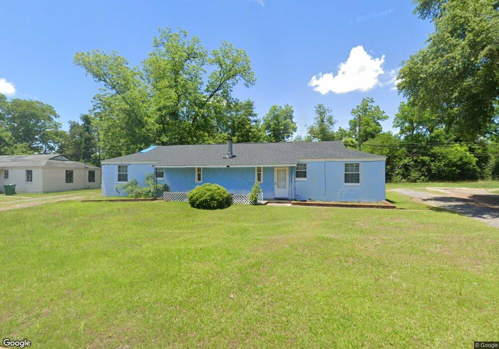
1519 Malone Dr Albany, GA 31705
Estimated Value: $51,000 - $63,000
4
Beds
2
Baths
1,776
Sq Ft
$33/Sq Ft
Est. Value
About This Home
This home is located at 1519 Malone Dr, Albany, GA 31705 and is currently estimated at $58,134, approximately $32 per square foot. 1519 Malone Dr is a home located in Dougherty County with nearby schools including Robert H. Harvey Elementary School, Albany Middle School, and Dougherty Comprehensive High School.
Ownership History
Date
Name
Owned For
Owner Type
Purchase Details
Closed on
Nov 3, 2006
Sold by
Mcclain Nathaniel
Bought by
Mcclain Nathaniel and Mcclain Phyllis
Current Estimated Value
Purchase Details
Closed on
Nov 24, 1997
Sold by
Merritt Merritt M and Merritt Alice J
Bought by
Mcclain Nathaniel and Mcclain Phyllis B
Purchase Details
Closed on
Sep 26, 1991
Sold by
Merritt Milton W
Bought by
Jackson Rowenna
Purchase Details
Closed on
Feb 13, 1990
Sold by
Airport Housing
Bought by
Merritt Milton and Merritt Lice
Purchase Details
Closed on
Dec 10, 1977
Sold by
Zumwalt Ray
Bought by
Merritt Milton W
Create a Home Valuation Report for This Property
The Home Valuation Report is an in-depth analysis detailing your home's value as well as a comparison with similar homes in the area
Home Values in the Area
Average Home Value in this Area
Purchase History
| Date | Buyer | Sale Price | Title Company |
|---|---|---|---|
| Mcclain Nathaniel | -- | -- | |
| Mcclain Nathaniel | $24,800 | -- | |
| Jackson Rowenna | -- | -- | |
| Merritt Milton | -- | -- | |
| Merritt Milton W | -- | -- |
Source: Public Records
Tax History Compared to Growth
Tax History
| Year | Tax Paid | Tax Assessment Tax Assessment Total Assessment is a certain percentage of the fair market value that is determined by local assessors to be the total taxable value of land and additions on the property. | Land | Improvement |
|---|---|---|---|---|
| 2024 | $528 | $16,080 | $1,800 | $14,280 |
| 2023 | $0 | $16,080 | $1,800 | $14,280 |
| 2022 | $514 | $16,080 | $1,800 | $14,280 |
| 2021 | $465 | $16,080 | $1,800 | $14,280 |
| 2020 | $612 | $16,080 | $1,800 | $14,280 |
| 2019 | $614 | $16,080 | $1,800 | $14,280 |
| 2018 | $617 | $16,080 | $1,800 | $14,280 |
| 2017 | $575 | $16,080 | $1,800 | $14,280 |
| 2016 | $575 | $16,080 | $1,800 | $14,280 |
| 2015 | $576 | $16,080 | $1,800 | $14,280 |
| 2014 | $569 | $16,080 | $1,800 | $14,280 |
Source: Public Records
Map
Nearby Homes
- 1616 Cromartie Beach Dr
- 1604, 1606, 1607 Cromartie Beach Dr
- 1978 S Riverview Cir
- 1980 S Riverview Cir
- 1982 S Riverview Cir
- 1500 Evelyn Ave
- 1901 S Flintlock Dr
- 1412 Westcliff Ct
- 1405 Westcliff Ct
- 2034 N Riverview Cir
- 1618 Beverly Ave
- 1522 Grand Cypress Ln
- 1524 Grand Cypress Ln
- 1308 Congressional Ct
- 1302 Congressional Ct
- 1200 River Pointe Dr
- 1107 E 4th Ave
- 1312 River Pointe Dr
- 1408 River Pointe Dr
- 1812 River Pointe Dr
- 1517 Malone Dr
- 1521 Malone Dr
- 1514 Malone Dr
- 1515 Malone Dr
- 1516 Malone Dr
- 1512 Malone Dr
- 1510 Malone Dr
- 1518 Malone Dr
- 1525 Malone Dr
- 1511 Malone Dr
- 1511 Whiting Dr
- 1513 Whiting Dr
- 1508 Malone Dr
- 1507 Whiting Dr
- 1509 Malone Dr
- 1520 Malone Dr
- 1527 Malone Dr
- 1515 Whiting Dr
- 1506 Malone Dr
- 1505 Whiting Dr