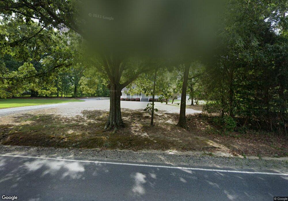
1519 Nc Highway 62 W High Point, NC 27263
Greater High Point NeighborhoodEstimated Value: $259,000 - $292,380
3
Beds
2
Baths
1,596
Sq Ft
$173/Sq Ft
Est. Value
About This Home
This home is located at 1519 Nc Highway 62 W, High Point, NC 27263 and is currently estimated at $275,345, approximately $172 per square foot. 1519 Nc Highway 62 W is a home located in Guilford County with nearby schools including Allen Jay Elementary School, Southern Guilford Middle, and Southern Guilford High School.
Ownership History
Date
Name
Owned For
Owner Type
Purchase Details
Closed on
Apr 30, 2014
Sold by
Troutman David and Troutman Lisa
Bought by
Coble Craig Lee and Coble Kasey Deema
Current Estimated Value
Home Financials for this Owner
Home Financials are based on the most recent Mortgage that was taken out on this home.
Original Mortgage
$146,938
Outstanding Balance
$112,443
Interest Rate
4.44%
Mortgage Type
New Conventional
Estimated Equity
$162,902
Purchase Details
Closed on
May 26, 2005
Sold by
Fallenstein Theodore and Fallenstein Bruce A
Bought by
Troutman David
Home Financials for this Owner
Home Financials are based on the most recent Mortgage that was taken out on this home.
Original Mortgage
$112,000
Interest Rate
5.8%
Mortgage Type
Fannie Mae Freddie Mac
Create a Home Valuation Report for This Property
The Home Valuation Report is an in-depth analysis detailing your home's value as well as a comparison with similar homes in the area
Home Values in the Area
Average Home Value in this Area
Purchase History
| Date | Buyer | Sale Price | Title Company |
|---|---|---|---|
| Coble Craig Lee | $144,000 | None Available | |
| Troutman David | $140,000 | -- |
Source: Public Records
Mortgage History
| Date | Status | Borrower | Loan Amount |
|---|---|---|---|
| Open | Coble Craig Lee | $146,938 | |
| Previous Owner | Troutman David | $112,000 |
Source: Public Records
Tax History Compared to Growth
Tax History
| Year | Tax Paid | Tax Assessment Tax Assessment Total Assessment is a certain percentage of the fair market value that is determined by local assessors to be the total taxable value of land and additions on the property. | Land | Improvement |
|---|---|---|---|---|
| 2025 | $1,432 | $163,300 | $35,900 | $127,400 |
| 2024 | $1,432 | $163,300 | $35,900 | $127,400 |
| 2023 | $1,432 | $163,300 | $35,900 | $127,400 |
| 2022 | $1,432 | $163,300 | $35,900 | $127,400 |
| 2021 | $1,384 | $157,800 | $32,800 | $125,000 |
| 2020 | $1,384 | $157,800 | $32,800 | $125,000 |
| 2019 | $1,384 | $157,800 | $0 | $0 |
| 2018 | $1,377 | $157,800 | $0 | $0 |
| 2017 | $1,342 | $157,800 | $0 | $0 |
| 2016 | $1,419 | $162,200 | $0 | $0 |
| 2015 | $1,427 | $162,200 | $0 | $0 |
| 2014 | $1,444 | $162,200 | $0 | $0 |
Source: Public Records
Map
Nearby Homes
- 6955 Harlow Dr
- 6007 Checker Rd
- 0 Waterbury Dr
- 6318 Gray Farm Rd
- 301 Oak Ridge Dr
- 105 Willow Terrace
- 202 Oak Ridge Dr
- 108 Willow Terrace
- 105 Oak Ridge Dr
- 1843 Weant Rd
- 1640 Kersey Valley Rd
- 107 Autumn Hill Ct
- 104 Autumn Hill Ct
- 6534 Frazier Marsh Rd
- 4216 Huff Rd
- 6071 Weant Rd
- 1206 Byron Ln
- 108 Sprucewood Ct
- 0 Sprucewood Ct
- 3827 Wood Ave
- 1517 Nc Highway 62 W
- 1524 Nc Highway 62 W
- 1513 Liberty Rd
- 1513 N Carolina 62
- 1513 Nc Highway 62 W
- 1516 Nc Highway 62 W
- 1500 Nc Highway 62 W
- 6922 Harlow Dr
- 1511 Nc Highway 62 W
- 1540 Nc Highway 62 W
- 1541 Nc Highway 62 W
- 6936 Harlow Dr
- 6932 Harlow Dr
- 6934 Harlow Dr
- 7023 Beane Rd
- 6929 Harlow Dr
- 6930 Harlow Dr
- 7032 Beane Rd Unit 7050
- 6947 Harlow Dr
- 7001 Appletree Rd