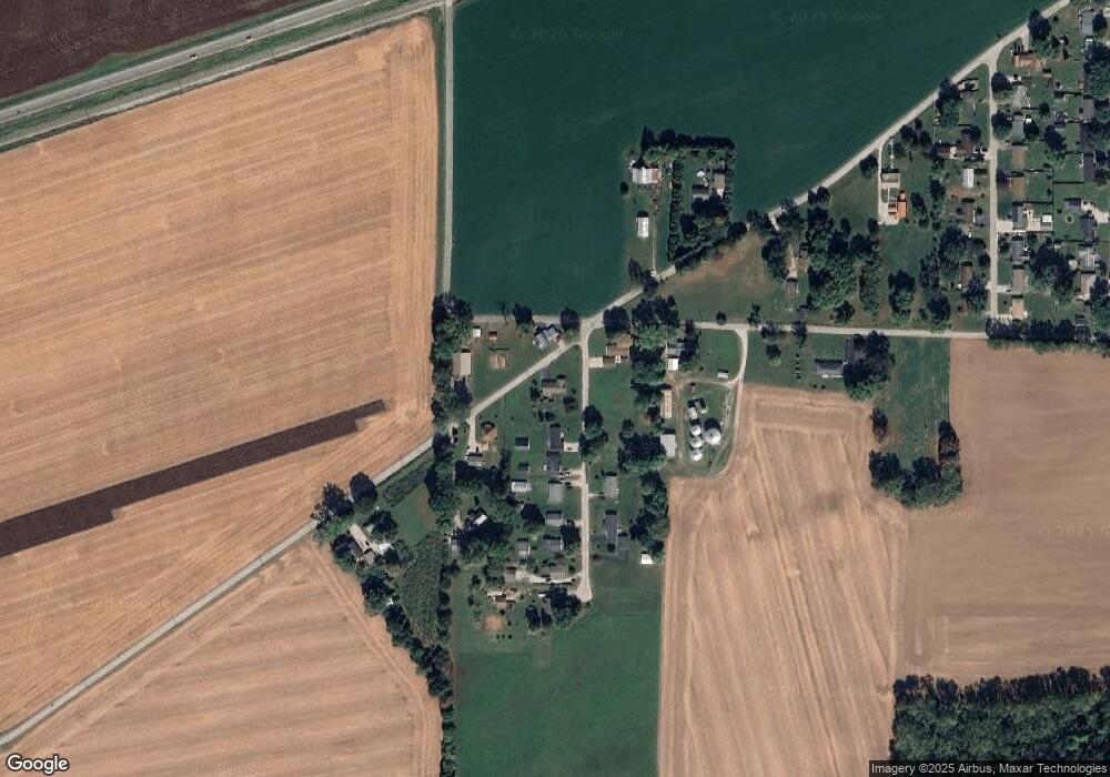
1519 S Old State Road 67 Martinsville, IN 46151
Estimated Value: $223,000 - $239,000
3
Beds
1
Bath
1,107
Sq Ft
$211/Sq Ft
Est. Value
About This Home
This home is located at 1519 S Old State Road 67, Martinsville, IN 46151 and is currently estimated at $233,240, approximately $210 per square foot. 1519 S Old State Road 67 is a home located in Morgan County with nearby schools including Martinsville High School.
Ownership History
Date
Name
Owned For
Owner Type
Purchase Details
Closed on
Nov 25, 2019
Sold by
Lewis Rbodes Jeanne R and Gilstrap Frances Jo
Bought by
Wright Linda L
Current Estimated Value
Home Financials for this Owner
Home Financials are based on the most recent Mortgage that was taken out on this home.
Original Mortgage
$81,500
Outstanding Balance
$71,712
Interest Rate
3.5%
Mortgage Type
New Conventional
Estimated Equity
$161,528
Purchase Details
Closed on
Aug 17, 2009
Sold by
Lewis Franklin E and Lewis Barbara J
Bought by
Lewis Family Irrevocable Living Trust
Create a Home Valuation Report for This Property
The Home Valuation Report is an in-depth analysis detailing your home's value as well as a comparison with similar homes in the area
Home Values in the Area
Average Home Value in this Area
Purchase History
| Date | Buyer | Sale Price | Title Company |
|---|---|---|---|
| Wright Linda L | -- | None Available | |
| Lewis Family Irrevocable Living Trust | -- | None Available |
Source: Public Records
Mortgage History
| Date | Status | Borrower | Loan Amount |
|---|---|---|---|
| Open | Wright Linda L | $81,500 |
Source: Public Records
Tax History Compared to Growth
Tax History
| Year | Tax Paid | Tax Assessment Tax Assessment Total Assessment is a certain percentage of the fair market value that is determined by local assessors to be the total taxable value of land and additions on the property. | Land | Improvement |
|---|---|---|---|---|
| 2024 | $918 | $203,500 | $33,400 | $170,100 |
| 2023 | $784 | $189,100 | $28,600 | $160,500 |
| 2022 | $558 | $153,700 | $28,600 | $125,100 |
| 2021 | $400 | $128,800 | $28,600 | $100,200 |
| 2020 | $342 | $120,400 | $23,800 | $96,600 |
| 2019 | $125 | $111,300 | $23,800 | $87,500 |
| 2018 | $128 | $104,000 | $23,800 | $80,200 |
| 2017 | $126 | $99,800 | $23,800 | $76,000 |
| 2016 | $125 | $98,000 | $18,600 | $79,400 |
| 2014 | $119 | $96,400 | $18,600 | $77,800 |
| 2013 | $119 | $96,400 | $18,600 | $77,800 |
Source: Public Records
Map
Nearby Homes
- 1315 Hillsborough Ct
- 1350 Inverness Farms Rd
- 1395 Inverness Farms Rd
- 290 S Buffalo Hill Rd
- 0 Skyway Ct Unit MBR22046337
- 1 Skyway Ct
- 2071 S Friendship Dr
- 4485 Godsey Rd
- 1591 S Graveyard Rd
- 00 Legendary Dr
- 2025 Deer Lake Dr
- 2195 Legendary Dr
- 325 E Church St
- 260 E Perry St
- 3951 S R 37 S
- 0 Jordan Rd
- 4721 Turkey Track Rd
- 989 Plaza Dr
- 1015 Plaza Dr
- 951 Plaza Dr
- 1620 Stout St
- 1512 S Old State Road 67
- 1512 S Old State Road 67
- 1630 Stout St
- 1545 S Old State Road 67
- 1500 S Buffalo Hill Rd
- 4385 Canatsey Rd
- 1640 Stout St
- 1655 Stout St
- 4325 Canatsey Rd
- 1555 S Old State Road 67
- 1690 Stout St
- 00 Old State Road 67 W
- 1675 Stout St
- 1710 Stout St
- 1730 Stout St
- 1591 S Old State Road 67
- 1488 S Old State Road 67
- 1447 S Old State Road 67
- 4275 Canatsey Rd
