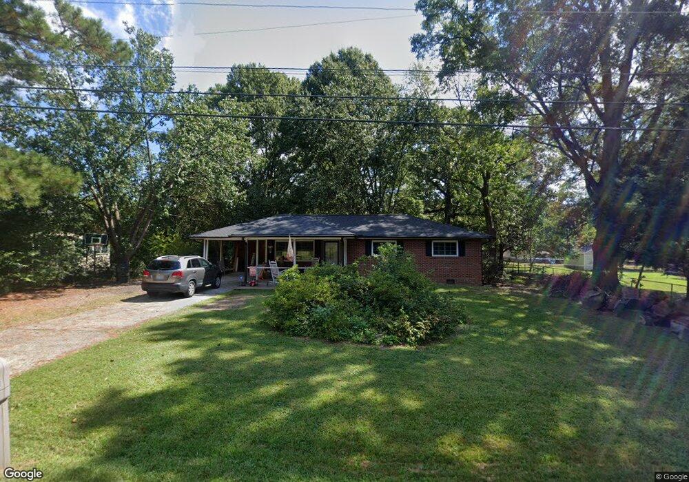
1519 Tyonek Dr Durham, NC 27703
Bethesda NeighborhoodEstimated Value: $190,000 - $302,000
3
Beds
1
Bath
1,183
Sq Ft
$203/Sq Ft
Est. Value
About This Home
This home is located at 1519 Tyonek Dr, Durham, NC 27703 and is currently estimated at $240,251, approximately $203 per square foot. 1519 Tyonek Dr is a home located in Durham County with nearby schools including Bethesda Elementary School, John W Neal Middle School, and Southern School of Energy & Sustainability.
Ownership History
Date
Name
Owned For
Owner Type
Purchase Details
Closed on
Aug 29, 2008
Sold by
Household Realty Corp
Bought by
Ennis William E and Russell Billy Lee
Current Estimated Value
Home Financials for this Owner
Home Financials are based on the most recent Mortgage that was taken out on this home.
Original Mortgage
$59,920
Outstanding Balance
$40,026
Interest Rate
6.61%
Mortgage Type
Purchase Money Mortgage
Estimated Equity
$200,225
Purchase Details
Closed on
Mar 11, 2008
Sold by
Cox Jon S and Cox Betty E
Bought by
Household Realty Corp
Create a Home Valuation Report for This Property
The Home Valuation Report is an in-depth analysis detailing your home's value as well as a comparison with similar homes in the area
Home Values in the Area
Average Home Value in this Area
Purchase History
| Date | Buyer | Sale Price | Title Company |
|---|---|---|---|
| Ennis William E | $75,000 | None Available | |
| Household Realty Corp | $94,304 | None Available |
Source: Public Records
Mortgage History
| Date | Status | Borrower | Loan Amount |
|---|---|---|---|
| Open | Ennis William E | $59,920 |
Source: Public Records
Tax History Compared to Growth
Tax History
| Year | Tax Paid | Tax Assessment Tax Assessment Total Assessment is a certain percentage of the fair market value that is determined by local assessors to be the total taxable value of land and additions on the property. | Land | Improvement |
|---|---|---|---|---|
| 2025 | $2,033 | $290,615 | $117,250 | $173,365 |
| 2024 | $1,293 | $120,981 | $26,740 | $94,241 |
| 2023 | $1,255 | $120,981 | $26,740 | $94,241 |
| 2022 | $1,226 | $120,981 | $26,740 | $94,241 |
| 2021 | $1,061 | $120,981 | $26,740 | $94,241 |
| 2020 | $1,037 | $120,981 | $26,740 | $94,241 |
| 2019 | $1,025 | $120,981 | $26,740 | $94,241 |
| 2018 | $956 | $103,615 | $26,740 | $76,875 |
| 2017 | $925 | $103,615 | $26,740 | $76,875 |
| 2016 | $897 | $103,615 | $26,740 | $76,875 |
| 2015 | $1,205 | $115,519 | $19,298 | $96,221 |
| 2014 | $1,211 | $115,519 | $19,298 | $96,221 |
Source: Public Records
Map
Nearby Homes
- 3857 Angier Ave
- 1716 Stage Rd
- 1711 S Miami Blvd
- 4017 Angier Ave
- 1309 Bungalow Ave
- 3105 Ranger Dr
- 3112 Ranger Dr
- 1821 S Mineral Springs Rd
- 3908 Cash Rd
- 2221 Mica Ridge Ln
- 2219 Mica Ridge Ln
- 2217 Mica Ridge Ln
- 2215 Mica Ridge Ln
- Dylan Plan at Mica Ridge - Venture Collection
- Mitchell II Plan at Mica Ridge - Club Collection
- Sutton Plan at Mica Ridge - Venture Collection
- Winstead III Plan at Mica Ridge - Sterling Collection
- Nelson Plan at Mica Ridge - Sterling Collection
- Somerset III Plan at Mica Ridge - Sterling Collection
- 2213 Mica Ridge Ln