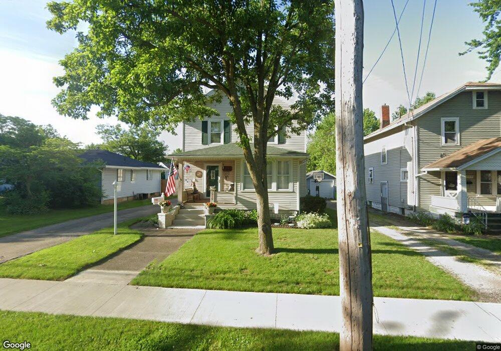
1519 Walnut Rd SW Massillon, OH 44647
Lawndale NeighborhoodEstimated Value: $122,138 - $146,000
3
Beds
1
Bath
1,308
Sq Ft
$106/Sq Ft
Est. Value
About This Home
This home is located at 1519 Walnut Rd SW, Massillon, OH 44647 and is currently estimated at $138,035, approximately $105 per square foot. 1519 Walnut Rd SW is a home located in Stark County with nearby schools including Massillon Intermediate School, Massillon Junior High School, and Washington High School.
Ownership History
Date
Name
Owned For
Owner Type
Purchase Details
Closed on
Mar 19, 2009
Sold by
Lunsford Jacci L and Lunsford James C
Bought by
Lunsford Jacci L and Lunsford James C
Current Estimated Value
Home Financials for this Owner
Home Financials are based on the most recent Mortgage that was taken out on this home.
Original Mortgage
$60,000
Interest Rate
5.2%
Mortgage Type
Stand Alone Refi Refinance Of Original Loan
Purchase Details
Closed on
Feb 27, 1991
Create a Home Valuation Report for This Property
The Home Valuation Report is an in-depth analysis detailing your home's value as well as a comparison with similar homes in the area
Home Values in the Area
Average Home Value in this Area
Purchase History
| Date | Buyer | Sale Price | Title Company |
|---|---|---|---|
| Lunsford Jacci L | -- | Attorney | |
| -- | $43,000 | -- |
Source: Public Records
Mortgage History
| Date | Status | Borrower | Loan Amount |
|---|---|---|---|
| Closed | Lunsford Jacci L | $60,000 |
Source: Public Records
Tax History Compared to Growth
Tax History
| Year | Tax Paid | Tax Assessment Tax Assessment Total Assessment is a certain percentage of the fair market value that is determined by local assessors to be the total taxable value of land and additions on the property. | Land | Improvement |
|---|---|---|---|---|
| 2025 | -- | $33,990 | $9,800 | $24,190 |
| 2024 | -- | $33,990 | $9,800 | $24,190 |
| 2023 | $1,592 | $31,120 | $7,840 | $23,280 |
| 2022 | $1,595 | $31,120 | $7,840 | $23,280 |
| 2021 | $1,621 | $31,120 | $7,840 | $23,280 |
| 2020 | $1,419 | $25,620 | $6,440 | $19,180 |
| 2019 | $1,398 | $25,630 | $6,440 | $19,190 |
| 2018 | $1,391 | $25,630 | $6,440 | $19,190 |
| 2017 | $1,262 | $21,710 | $4,830 | $16,880 |
| 2016 | $1,283 | $21,710 | $4,830 | $16,880 |
| 2015 | $1,267 | $21,710 | $4,830 | $16,880 |
| 2014 | $1,267 | $20,980 | $4,660 | $16,320 |
| 2013 | $637 | $20,980 | $4,660 | $16,320 |
Source: Public Records
Map
Nearby Homes
- 315 14th St SW
- 101 14th St NW
- 728 Hillside Place SW
- 309 15th St NW
- 1301 Lincoln Way NW
- 827 9th St SW
- 878 Liberty Ct SW
- 2488 Carlene Ave SW
- 50 26th St NW
- 718 Bebb Ave SW
- 123 26th St NW
- 517 Grosvenor Ave NW
- 540 Carver St NW
- 504 5th St SW
- 533 Webb Ave SW
- 2527 Lincoln Way NW
- 532 4th St SW
- 1104 4th St SW
- 1737 Leslie St NW
- 2790 Lee Ave NW
- 1523 Walnut Rd SW
- 1511 Walnut Rd SW
- 1529 Walnut Rd SW
- 1533 Walnut Rd SW
- 1505 Walnut Rd SW
- 325 15th St SW
- 717 15th St SW
- 1530 Walnut Rd SW
- 1518 Walnut Rd SW
- 1537 Walnut Rd SW
- 723 15th St SW
- 319 15th St SW
- 1540 Walnut Rd SW
- 1541 Walnut Rd SW
- 729 15th St SW
- 315 15th St SW
- 1600 Walnut Rd SW
- 1601 Walnut Rd SW
- 733 15th St SW
- 1520 Byron Ave SW