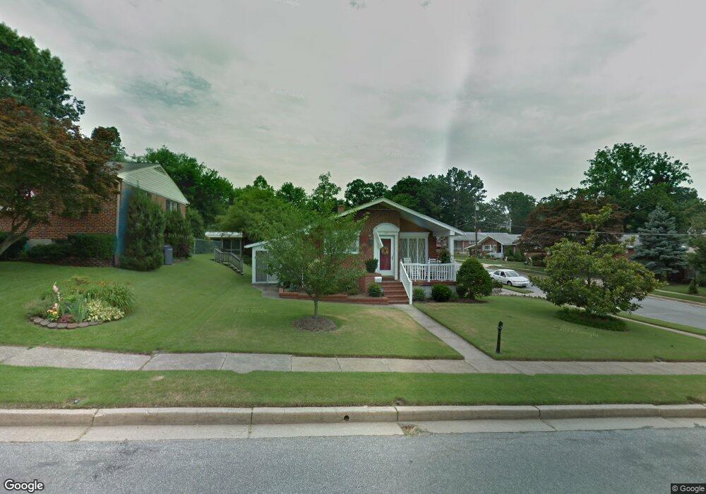
1519 Woodside Ave Halethorpe, MD 21227
Estimated Value: $301,943 - $361,000
--
Bed
1
Bath
1,134
Sq Ft
$289/Sq Ft
Est. Value
About This Home
This home is located at 1519 Woodside Ave, Halethorpe, MD 21227 and is currently estimated at $328,236, approximately $289 per square foot. 1519 Woodside Ave is a home located in Baltimore County with nearby schools including Halethorpe Elementary School, Arbutus Middle School, and Lansdowne High School.
Ownership History
Date
Name
Owned For
Owner Type
Purchase Details
Closed on
Mar 5, 2021
Sold by
The Helen E Kinsey Revocable Trust
Bought by
Hoskins Emily C
Current Estimated Value
Home Financials for this Owner
Home Financials are based on the most recent Mortgage that was taken out on this home.
Original Mortgage
$248,320
Outstanding Balance
$223,716
Interest Rate
3%
Mortgage Type
New Conventional
Estimated Equity
$104,520
Purchase Details
Closed on
Oct 25, 2013
Sold by
Kinsey Helen E
Bought by
Kinsey Paul J and Helen E Kinsey Revocable Trust
Create a Home Valuation Report for This Property
The Home Valuation Report is an in-depth analysis detailing your home's value as well as a comparison with similar homes in the area
Home Values in the Area
Average Home Value in this Area
Purchase History
| Date | Buyer | Sale Price | Title Company |
|---|---|---|---|
| Hoskins Emily C | $256,000 | Mid Atlantic Stlmt Svcs Llc | |
| Kinsey Paul J | -- | None Available |
Source: Public Records
Mortgage History
| Date | Status | Borrower | Loan Amount |
|---|---|---|---|
| Open | Hoskins Emily C | $248,320 |
Source: Public Records
Tax History Compared to Growth
Tax History
| Year | Tax Paid | Tax Assessment Tax Assessment Total Assessment is a certain percentage of the fair market value that is determined by local assessors to be the total taxable value of land and additions on the property. | Land | Improvement |
|---|---|---|---|---|
| 2025 | $3,128 | $228,700 | -- | -- |
| 2024 | $3,128 | $206,000 | $54,300 | $151,700 |
| 2023 | $1,647 | $203,800 | $0 | $0 |
| 2022 | $2,975 | $201,600 | $0 | $0 |
| 2021 | $2,920 | $199,400 | $54,300 | $145,100 |
| 2020 | $2,399 | $197,900 | $0 | $0 |
| 2019 | $2,380 | $196,400 | $0 | $0 |
| 2018 | $3,003 | $194,900 | $54,300 | $140,600 |
| 2017 | $2,702 | $186,233 | $0 | $0 |
| 2016 | $2,493 | $177,567 | $0 | $0 |
| 2015 | $2,493 | $168,900 | $0 | $0 |
| 2014 | $2,493 | $168,900 | $0 | $0 |
Source: Public Records
Map
Nearby Homes
- 1709 Woodside Ave
- 4606 Ridge Ave
- 5605 Oregon Ave
- 1816 Fairview Ave
- 5701 1st Ave
- 1810 Arbutus Ave
- 1416 Sulphur Spring Rd
- 5530 Willys Ave
- 5627 Oakland Rd
- 5742 1st Ave
- 1942 Catanna Ave
- 1328 Maple Ave
- 1246 Elm Rd
- 2014 Putnam Rd
- 5522 Ashbourne Rd
- 2019 Northeast Ave
- 1243 Linden Ave
- 5215 Benson Ave
- 1326 Stevens Ave
- 0 Sulphur Spring Unit MDBC2146808
- 1517 Woodside Ave
- 1603 Claridge Ave
- 1600 Claridge Ave
- 1605 Claridge Ave
- 1602 Claridge Ave
- 1516 Woodside Ave
- 1514 Woodside Ave
- 1604 Claridge Ave
- 1429 Claridge Ave
- 1512 Woodside Ave
- 1516 Claridge Ave
- 1606 Claridge Ave
- 1607 Claridge Ave
- 1511 Claridge Ave
- 1514 Claridge Ave
- 1605 Woodside Ave
- 1608 Claridge Ave
- 1512 Claridge Ave
- 4420 Poplar Ave
- 1509 Claridge Ave