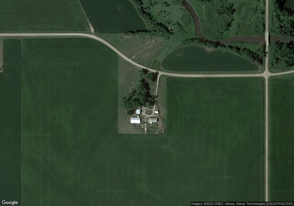
15191 65th St Brownton, MN 55312
Estimated Value: $365,000 - $407,568
4
Beds
2
Baths
1,707
Sq Ft
$226/Sq Ft
Est. Value
About This Home
This home is located at 15191 65th St, Brownton, MN 55312 and is currently estimated at $386,284, approximately $226 per square foot. 15191 65th St is a home located in McLeod County with nearby schools including Lincoln Elementary School, Lakeside Elementary School, and Glencoe-Silver Lake Jr. High School.
Ownership History
Date
Name
Owned For
Owner Type
Purchase Details
Closed on
Feb 17, 2015
Sold by
Loyd A Loyd A and Harper Winona
Bought by
Gehrke Kimberly H and Wuethrich Joseph A
Current Estimated Value
Purchase Details
Closed on
Jun 28, 2013
Sold by
Radke Darrel O and Radke Gwen
Bought by
Harper Loyd A and Harper Winona
Home Financials for this Owner
Home Financials are based on the most recent Mortgage that was taken out on this home.
Original Mortgage
$166,500
Outstanding Balance
$118,227
Interest Rate
3.83%
Mortgage Type
New Conventional
Estimated Equity
$268,057
Create a Home Valuation Report for This Property
The Home Valuation Report is an in-depth analysis detailing your home's value as well as a comparison with similar homes in the area
Purchase History
| Date | Buyer | Sale Price | Title Company |
|---|---|---|---|
| Gehrke Kimberly H | -- | -- | |
| Harper Loyd A | -- | Title Mark Cokato |
Source: Public Records
Mortgage History
| Date | Status | Borrower | Loan Amount |
|---|---|---|---|
| Open | Harper Loyd A | $166,500 |
Source: Public Records
Tax History
| Year | Tax Paid | Tax Assessment Tax Assessment Total Assessment is a certain percentage of the fair market value that is determined by local assessors to be the total taxable value of land and additions on the property. | Land | Improvement |
|---|---|---|---|---|
| 2025 | $1,296 | $295,900 | $120,100 | $175,800 |
| 2024 | $1,384 | $295,800 | $120,100 | $175,700 |
| 2023 | $1,384 | $295,800 | $120,100 | $175,700 |
| 2022 | $1,636 | $294,900 | $120,100 | $174,800 |
| 2021 | $1,650 | $247,100 | $99,700 | $147,400 |
| 2020 | $2,466 | $247,100 | $99,700 | $147,400 |
| 2019 | $2,150 | $242,000 | $90,600 | $151,400 |
| 2018 | $2,036 | $0 | $0 | $0 |
| 2017 | $1,654 | $0 | $0 | $0 |
| 2016 | $1,654 | $0 | $0 | $0 |
| 2015 | -- | $0 | $0 | $0 |
| 2014 | -- | $0 | $0 | $0 |
Source: Public Records
Map
Nearby Homes
- Lot 2 U S Highway 212
- 1002 2nd St N
- 226 3rd Ave S
- 124 3rd Ave S
- 304 5th Ave N
- 352 4th St N
- xxx Lot 3 Division St W
- 140 1st Ave N
- 0 57th St
- XXX US Hwy 212
- 12406 Highway 212
- 1199 E 2nd St
- 11462 Highway 15
- 11462 Minnesota 15
- 11742 Sunset Cir
- 610 1st St E
- 503 17th St W
- 614 Elliott Ave N
- 105 Hennepin Ave N
- 707 Ford Ave N
Your Personal Tour Guide
Ask me questions while you tour the home.