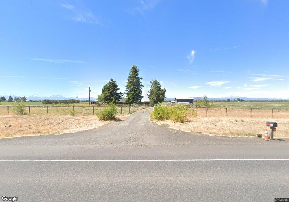
15194 SW Highway 97 Culver, OR 97734
Estimated Value: $626,000 - $800,601
4
Beds
2
Baths
1,898
Sq Ft
$376/Sq Ft
Est. Value
About This Home
This home is located at 15194 SW Highway 97, Culver, OR 97734 and is currently estimated at $713,301, approximately $375 per square foot. 15194 SW Highway 97 is a home located in Jefferson County with nearby schools including Culver Elementary School, Culver Middle School, and Culver High School.
Ownership History
Date
Name
Owned For
Owner Type
Purchase Details
Closed on
Jan 22, 2024
Sold by
Villicana Eduardo and Villicana Rosalba
Bought by
Rodriguez J Refugio Rodr
Current Estimated Value
Home Financials for this Owner
Home Financials are based on the most recent Mortgage that was taken out on this home.
Original Mortgage
$650,000
Outstanding Balance
$638,625
Interest Rate
6.95%
Mortgage Type
Seller Take Back
Estimated Equity
$74,676
Purchase Details
Closed on
Mar 16, 2007
Sold by
Brumagin Robert E and Brumagin Ruth A
Bought by
Villicana Eduardo and Villicana Rosalba
Home Financials for this Owner
Home Financials are based on the most recent Mortgage that was taken out on this home.
Original Mortgage
$300,000
Interest Rate
6.11%
Mortgage Type
New Conventional
Create a Home Valuation Report for This Property
The Home Valuation Report is an in-depth analysis detailing your home's value as well as a comparison with similar homes in the area
Home Values in the Area
Average Home Value in this Area
Purchase History
| Date | Buyer | Sale Price | Title Company |
|---|---|---|---|
| Rodriguez J Refugio Rodr | $750,000 | None Listed On Document | |
| Villicana Eduardo | $550,000 | Jefferson County Title Compa |
Source: Public Records
Mortgage History
| Date | Status | Borrower | Loan Amount |
|---|---|---|---|
| Open | Rodriguez J Refugio Rodr | $650,000 | |
| Previous Owner | Villicana Eduardo | $300,000 |
Source: Public Records
Tax History Compared to Growth
Tax History
| Year | Tax Paid | Tax Assessment Tax Assessment Total Assessment is a certain percentage of the fair market value that is determined by local assessors to be the total taxable value of land and additions on the property. | Land | Improvement |
|---|---|---|---|---|
| 2024 | $1,387 | $93,256 | -- | -- |
| 2023 | $1,317 | $90,670 | $0 | $0 |
| 2022 | $1,281 | $88,156 | $0 | $0 |
| 2021 | $1,218 | $85,713 | $0 | $0 |
| 2020 | $1,194 | $83,457 | $0 | $0 |
| 2019 | $1,160 | $81,150 | $0 | $0 |
| 2018 | $1,123 | $78,913 | $0 | $0 |
| 2017 | $1,098 | $76,746 | $0 | $0 |
| 2016 | $1,076 | $74,637 | $0 | $0 |
| 2015 | $1,023 | $72,588 | $0 | $0 |
| 2014 | $1,023 | $70,596 | $0 | $0 |
| 2013 | -- | $68,994 | $0 | $0 |
Source: Public Records
Map
Nearby Homes
- 3779 SW Park Ln
- 3422 SW Park Ln
- 0 15th St Unit B 220205233
- 0 15th St Unit A 220205232
- 15520 SW Culver Hwy
- 15990 SW Culver Hwy
- 4111 NW Orchard Ct
- 12600 NW Chinook Dr
- 12244 NW 10th St
- 17040 SW Steelhead Rd
- 6354 SW Mustang Rd
- 12174 NW 10th St
- 16963 SW Bullhead Rd
- 3585 NW Ice Ave
- 2968 NW Ice Ave
- 14515 SW Maverick Rd
- 6547 SW Cougar Rd
- 15851 SW Tadpole Ct
- 11850 NE Canyons Ranch Dr Unit LH 21
- 11750 NE Canyons Ranch Dr
- 15194 SW Hwy 97
- 15194 SW Highway 97
- 15352 SW Highway 97
- 0 SW Golden Mantel Rd Unit 2709488
- 0 SW Business Cir Unit 2706399
- 0 SW Swallow Unit 2604176
- 0 SW Buckskin Ln Unit 2600767
- 0 SW Big Sky Place Unit 2510260
- 0 SW Cinder Dr Unit 31372
- 0 SE Wheat Grass Rd Unit 2508087
- 0 SW Cinder Dr Unit 2502560
- 0 SW Chipmunk Rd Unit 2615636
- 0 SW Swallow Unit 2615187
- 0 SW Business Cir Unit 2610835
- 0 SW Business Cir Unit 2610773
- 0 SW Swallow Unit 2604110
- 0 SW Business Cir Unit 2601875
- 0 SW Business Cir Unit 2601873
- 0 SW Golden Mantel Rd Unit 2502406
- 0 SW Swallow Unit 9801888