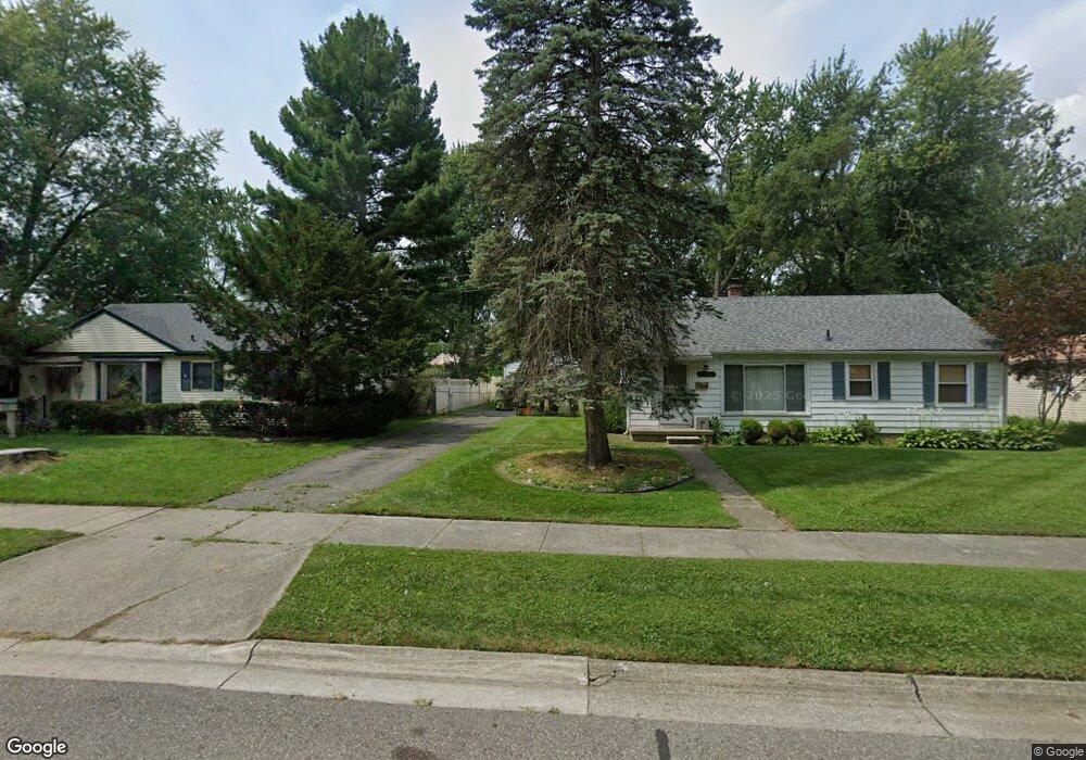
15197 Auburndale St Livonia, MI 48154
Estimated Value: $241,371 - $265,000
3
Beds
1
Bath
1,062
Sq Ft
$235/Sq Ft
Est. Value
About This Home
This home is located at 15197 Auburndale St, Livonia, MI 48154 and is currently estimated at $249,593, approximately $235 per square foot. 15197 Auburndale St is a home located in Wayne County with nearby schools including Kennedy Elementary School, Johnson Upper Elementary School, and Frost Middle School.
Ownership History
Date
Name
Owned For
Owner Type
Purchase Details
Closed on
May 28, 2010
Sold by
Quist Douglas R and Quist Diane P
Bought by
Przykucki Anne E
Current Estimated Value
Home Financials for this Owner
Home Financials are based on the most recent Mortgage that was taken out on this home.
Original Mortgage
$92,040
Outstanding Balance
$62,168
Interest Rate
5.13%
Mortgage Type
FHA
Estimated Equity
$187,425
Create a Home Valuation Report for This Property
The Home Valuation Report is an in-depth analysis detailing your home's value as well as a comparison with similar homes in the area
Home Values in the Area
Average Home Value in this Area
Purchase History
| Date | Buyer | Sale Price | Title Company |
|---|---|---|---|
| Przykucki Anne E | $93,280 | Interstate Title Inc |
Source: Public Records
Mortgage History
| Date | Status | Borrower | Loan Amount |
|---|---|---|---|
| Open | Przykucki Anne E | $92,040 |
Source: Public Records
Tax History Compared to Growth
Tax History
| Year | Tax Paid | Tax Assessment Tax Assessment Total Assessment is a certain percentage of the fair market value that is determined by local assessors to be the total taxable value of land and additions on the property. | Land | Improvement |
|---|---|---|---|---|
| 2025 | $1,118 | $101,000 | $0 | $0 |
| 2024 | $1,118 | $92,800 | $0 | $0 |
| 2023 | $1,067 | $83,100 | $0 | $0 |
| 2022 | $1,873 | $77,300 | $0 | $0 |
| 2021 | $1,768 | $71,400 | $0 | $0 |
| 2019 | $1,696 | $61,300 | $0 | $0 |
| 2018 | $876 | $55,300 | $0 | $0 |
| 2017 | $1,551 | $47,500 | $0 | $0 |
| 2016 | $1,631 | $47,500 | $0 | $0 |
| 2015 | $3,957 | $44,240 | $0 | $0 |
| 2012 | -- | $38,420 | $13,690 | $24,730 |
Source: Public Records
Map
Nearby Homes
- 15040 Berwick St
- 15600 Auburndale St
- 14677 Auburndale St
- 15075 Hubbard St Unit 5
- 14563 Melrose St
- 32651 5 Mile Rd Unit 15
- 14879 Fairfield St
- 31005 Roycroft St
- 32136 Lyndon St
- 15345 Bainbridge St
- 31221 Lyndon St
- 14327 Arden St
- 31126 Grennada St
- 14214 Cranston St
- 30831 Lyndon St
- 14292 Hubbell St
- 14164 Bainbridge St
- 33040 Allen St
- 15873 Shadyside Dr
- 31069 Munger Dr
- 15173 Auburndale St
- 15209 Auburndale St
- 15172 Berwick St
- 15196 Berwick St
- 15233 Auburndale St
- 15161 Auburndale St
- 15160 Berwick St
- 15208 Berwick St
- 15172 Auburndale St Unit Bldg-Unit
- 15172 Auburndale St
- 15196 Auburndale St
- 15137 Auburndale St
- 15136 Berwick St
- 15160 Auburndale St
- 15232 Berwick St
- 15208 Auburndale St
- 15136 Auburndale St
- 15232 Auburndale St
- 31631 5 Mile Rd
- 31621 5 Mile Rd