152 1st St Tunkhannock, PA 18657
Estimated Value: $182,000 - $336,000
--
Bed
--
Bath
--
Sq Ft
2.54
Acres
About This Home
This home is located at 152 1st St, Tunkhannock, PA 18657 and is currently estimated at $252,907. 152 1st St is a home located in Wyoming County with nearby schools including Tunkhannock Middle School and Tunkhannock High School.
Ownership History
Date
Name
Owned For
Owner Type
Purchase Details
Closed on
May 18, 2012
Sold by
Hsbc Mortgage Services Inc
Bought by
Thrash Gary and Thrash Lisa
Current Estimated Value
Home Financials for this Owner
Home Financials are based on the most recent Mortgage that was taken out on this home.
Original Mortgage
$108,000
Outstanding Balance
$74,828
Interest Rate
3.9%
Mortgage Type
New Conventional
Estimated Equity
$178,079
Purchase Details
Closed on
Feb 10, 2012
Sold by
Evelock Stephen M and Evelock Kimberly Ann
Bought by
Hsbc Mortgage Services Inc
Create a Home Valuation Report for This Property
The Home Valuation Report is an in-depth analysis detailing your home's value as well as a comparison with similar homes in the area
Home Values in the Area
Average Home Value in this Area
Purchase History
| Date | Buyer | Sale Price | Title Company |
|---|---|---|---|
| Thrash Gary | $135,000 | None Available | |
| Hsbc Mortgage Services Inc | -- | None Available |
Source: Public Records
Mortgage History
| Date | Status | Borrower | Loan Amount |
|---|---|---|---|
| Open | Thrash Gary | $108,000 |
Source: Public Records
Tax History Compared to Growth
Tax History
| Year | Tax Paid | Tax Assessment Tax Assessment Total Assessment is a certain percentage of the fair market value that is determined by local assessors to be the total taxable value of land and additions on the property. | Land | Improvement |
|---|---|---|---|---|
| 2025 | $3,973 | $35,520 | $3,405 | $32,115 |
| 2024 | $3,973 | $35,520 | $3,405 | $32,115 |
| 2023 | $3,937 | $35,520 | $3,405 | $32,115 |
| 2022 | $3,884 | $35,520 | $3,405 | $32,115 |
| 2021 | $3,795 | $35,520 | $3,405 | $32,115 |
| 2020 | $3,795 | $35,520 | $3,405 | $32,115 |
| 2019 | $3,724 | $35,520 | $3,405 | $32,115 |
| 2018 | $3,635 | $35,520 | $3,405 | $32,115 |
| 2017 | $3,494 | $0 | $0 | $0 |
| 2016 | -- | $0 | $0 | $0 |
| 2015 | -- | $0 | $0 | $0 |
| 2014 | -- | $0 | $0 | $0 |
Source: Public Records
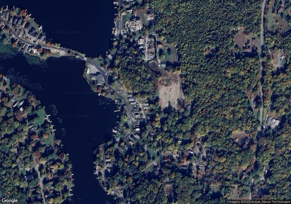
Map
Nearby Homes
- 30 Indian Spring Rd
- 6 1/2 Indian Spring Rd
- 32 Shore Dr
- 22 Mount Airy Estate
- 9 Marcy Rd
- 1 Pennsylvania 29
- 16 Alfie Ln
- 828 W Avery Station Rd
- 10 Dogwood Dr
- 7 Doran Dr
- 9 Doran Dr
- 40 Winola Ave
- 1 Sullivan St
- 5 E Harrison St
- 227 Henry Holod Rd
- 306 State Route 1008
- 148 Grandview Dr
- 150 Grandview Dr
- 425 Woodland Way
- Lot 81 Eastwoods Rd